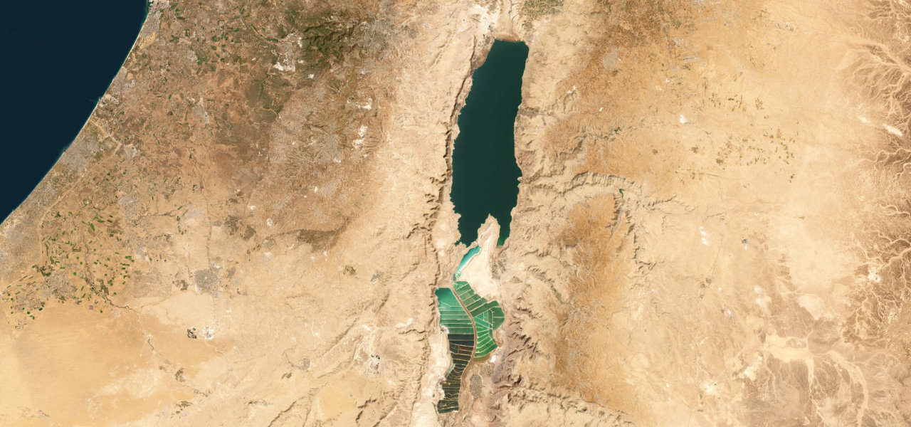
Negev Desert · Israel
Ma'ale HaAtzmaut
Route 40Mitzpe Ramon to Makhtesh Ramon
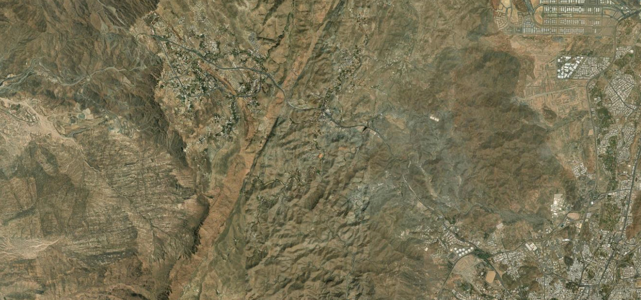
Route 40's Independence Ascent plunges through four dramatic hairpins off the rim of Makhtesh Ramon, the largest erosion crater on earth, then crosses 40 km of alien desert floor.
From the southern edge of Mitzpe Ramon the road tips over the crater rim, descending 250 m through four long hairpins onto the makhtesh floor where the walls expose 200 million years of strata in vivid reds and yellows. It threads across the flat crater floor past volcanic prisms and multicoloured sandstone before climbing the far southern wall. Fully paved, open year-round.
Scenery
Where it runs
Navigate to the start: Apple Maps · Google Maps
Character
Elevation
under 4%4–8%over 8%390 – 848 mPoints of interest
- מעלה אפורViewpoint
- מעלה המישרViewpoint
- מצפור ברק ועמיחיViewpoint
Hazards
- Flash floods in wadis during winter rain may make low sections impassable
- Extreme summer heat exceeding 40 C from June to August
- Steep switchbacks on the crater descent require careful braking
- Limited services inside the crater, carry water and fuel
See the typical season and live conditions for the high passes ›
Sources: Road geometry © OpenStreetMap contributors
Nearby roads
The closest great drives to Ma'ale HaAtzmaut.