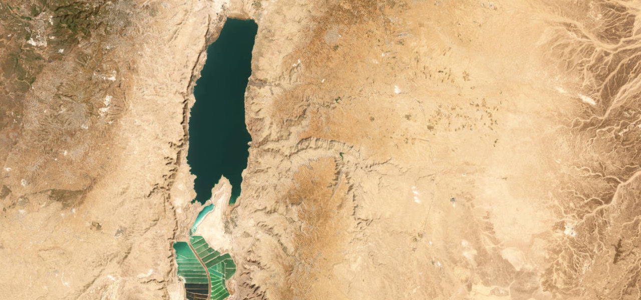
Madaba / Karak · Jordan
King's Highway (Wadi Mujib)
35Madaba to Al-Karak
Distance52.7 mi85 km
Drive time1 h 45 minon the road
DifficultyModeratetightness 5 of 10
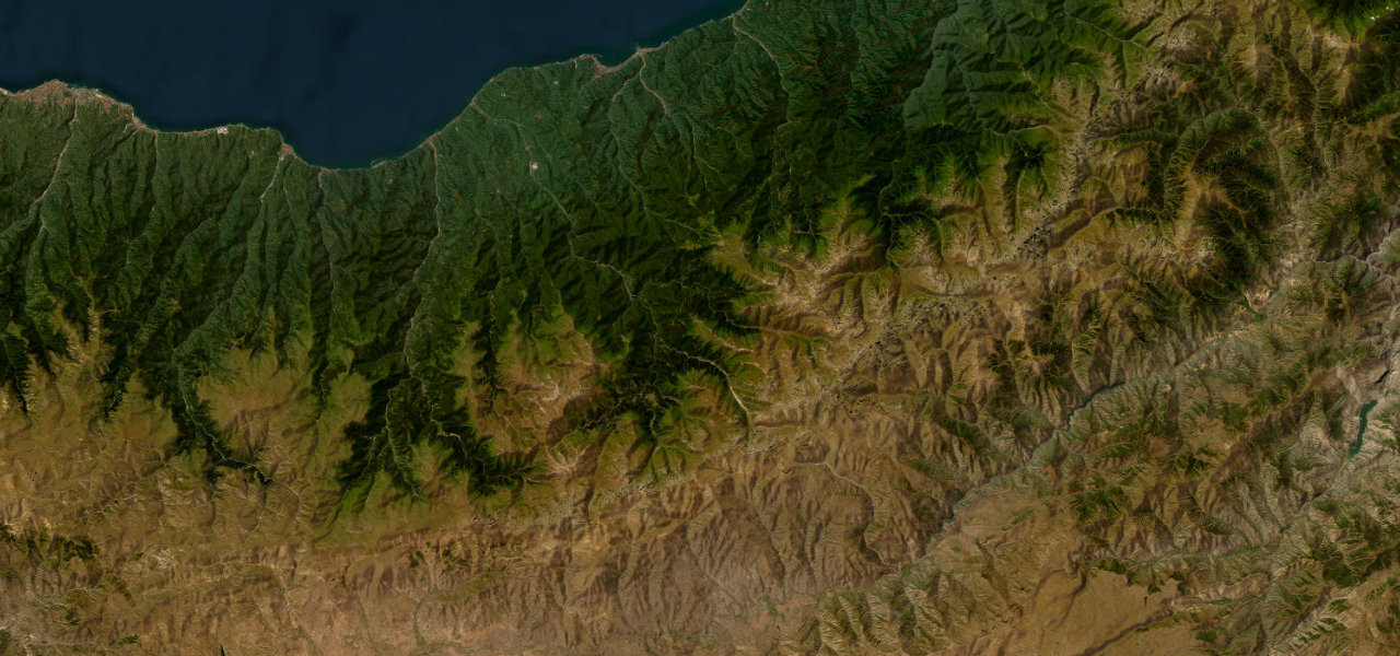
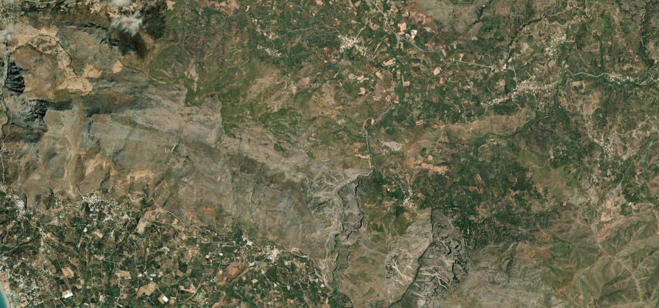
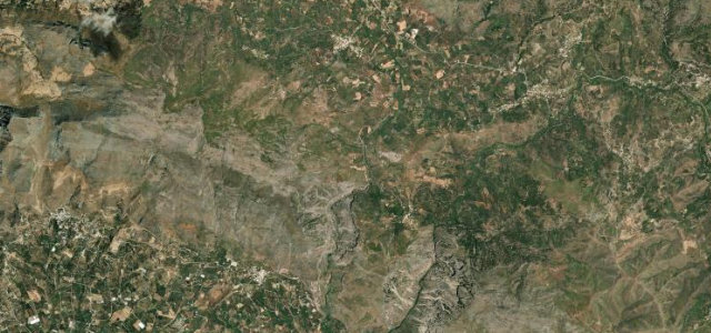
Jordan’s most historic road plunges 1,300 m into the Wadi Mujib gorge, Jordan’s Grand Canyon, on 18 km of switchbacks before climbing back to the plateau, linking Biblical Madaba to Crusader Karak.
From Madaba the King’s Highway rolls south across a limestone plateau before the earth falls away at Wadi Mujib; the road twists nine kilometres of switchbacks to the dam at the canyon floor, then climbs the same back up the southern wall, continuing south to Karak above its Crusader castle.
Scenery
ValleyMountainGorge
Where it runs
MadabaStart · Madaba / Karak
Al-KarakEnd · Madaba / Karak
Navigate to the start: Apple Maps · Google Maps
Character
Corners94bends
Tightness5of 10
Max gradient13%≈ 1-in-8
Hairpins9tight bends
Climb1,179 mtotal ascent
Summit1,063 mhighest point of the line · 3,488 ft
Elevation
under 4%4–8%over 8%174 – 1,063 mHazards
- unmarked speed bumps
- livestock on road
- police checkpoints
- limited fuel
- steep switchbacks
Sources: Road geometry © OpenStreetMap contributors
Nearby roads
The closest great drives to King's Highway (Wadi Mujib).
King's Highway (Wadi Mujib)
Directions