Abu Dhabi · United Arab Emirates
Jebel Hafeet
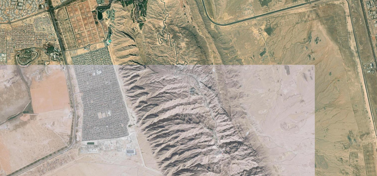
Green Mubazzarah, Al Ain to Jebel Hafeet Summit
One of the world’s great driving roads, a purpose-built 12 km spiral up the flanks of Jebel Hafeet with over 60 sweeping turns, rising 670 m from the desert floor to the summit of Abu Dhabi’s highest mountain.
The road begins at the Green Mubazzarah hot-springs park and spirals upward on immaculate tarmac through 60-plus corners, a mix of tight hairpins and fast sweepers, to the summit at 1,026 m where the Mercure Grand hotel overlooks the Al Ain plain. It runs one-way up with a separate descent lane. Built in 1980 purely for the pleasure of the drive.
Where it runs
Navigate to the start: Apple Maps · Google Maps
Character
Elevation
under 4%4–8%over 8%417 – 1,049 mHazards
- tight hairpins
- oncoming traffic on narrow sections
- extreme heat in summer
Sources: Road geometry © OpenStreetMap contributors
Nearby roads
The closest great drives to Jebel Hafeet.