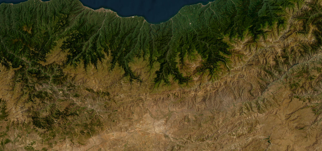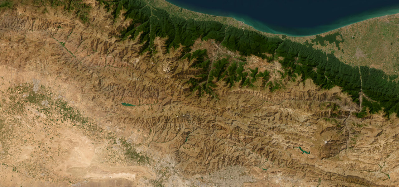
Alborz / Mazandaran · Iran
Chalus Road
Road 59Karaj to Chalus
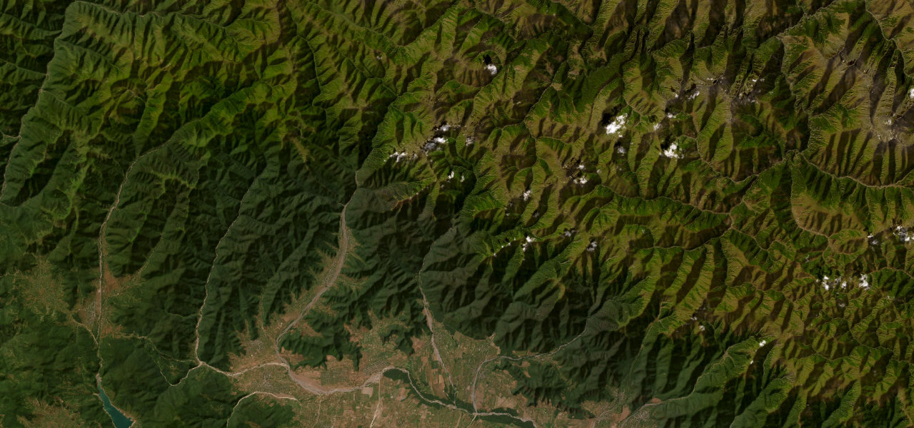
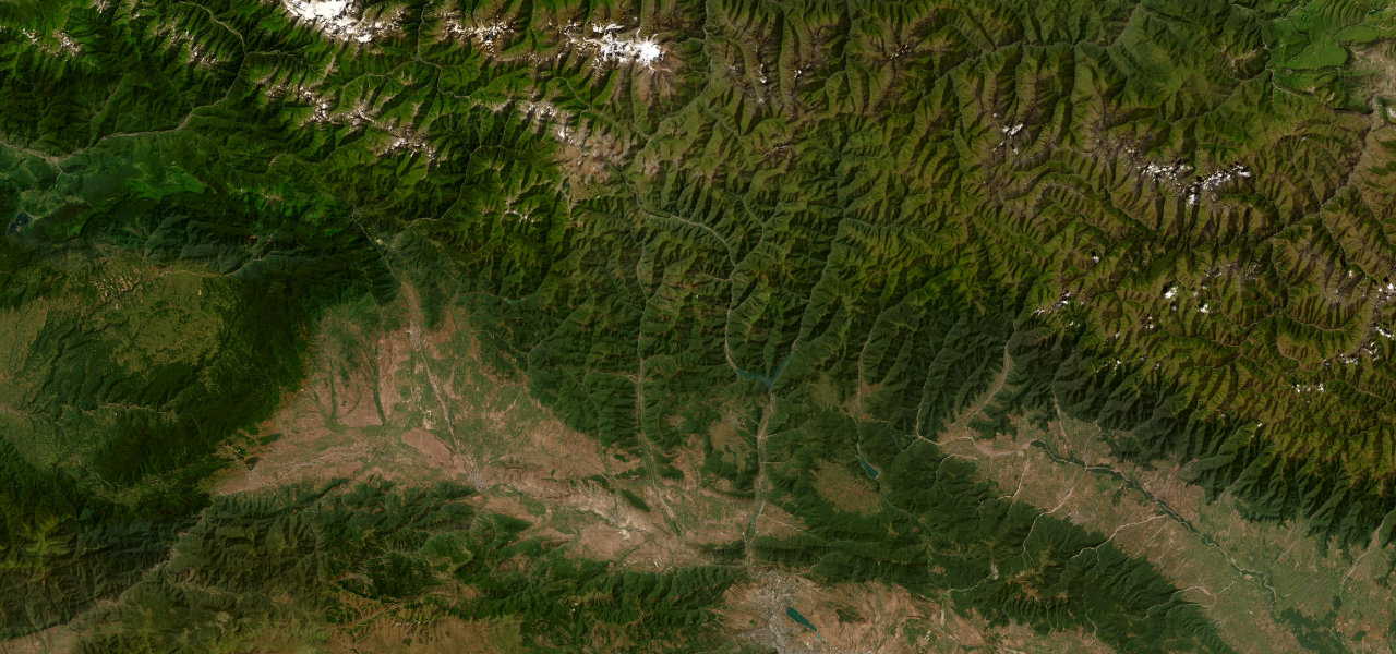
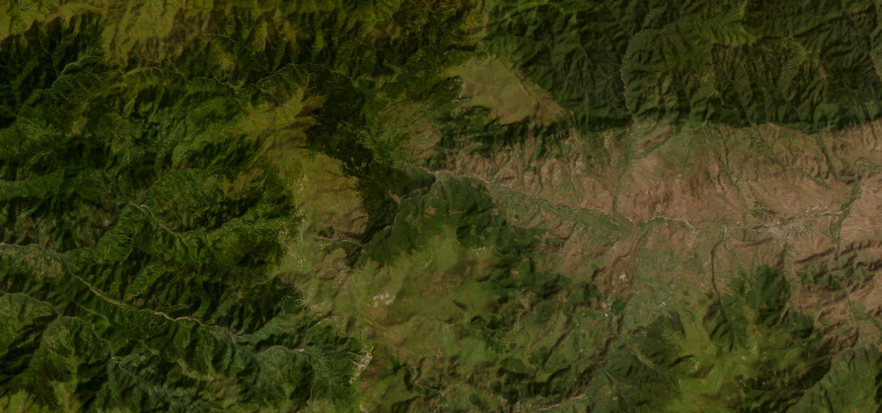
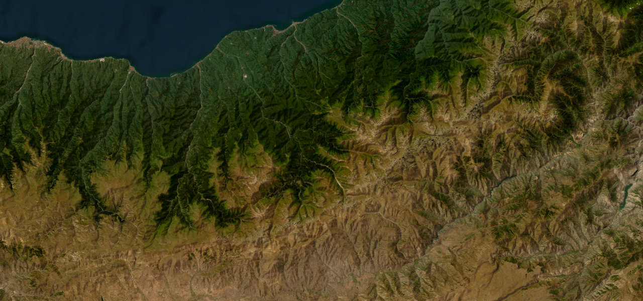
A 160 km trans-Alborz epic climbing from Tehran’s hinterland through river gorges and ancient Hyrcanian forest before dropping to the Caspian Sea. Opened in 1933, it remains the definitive Iranian mountain drive.
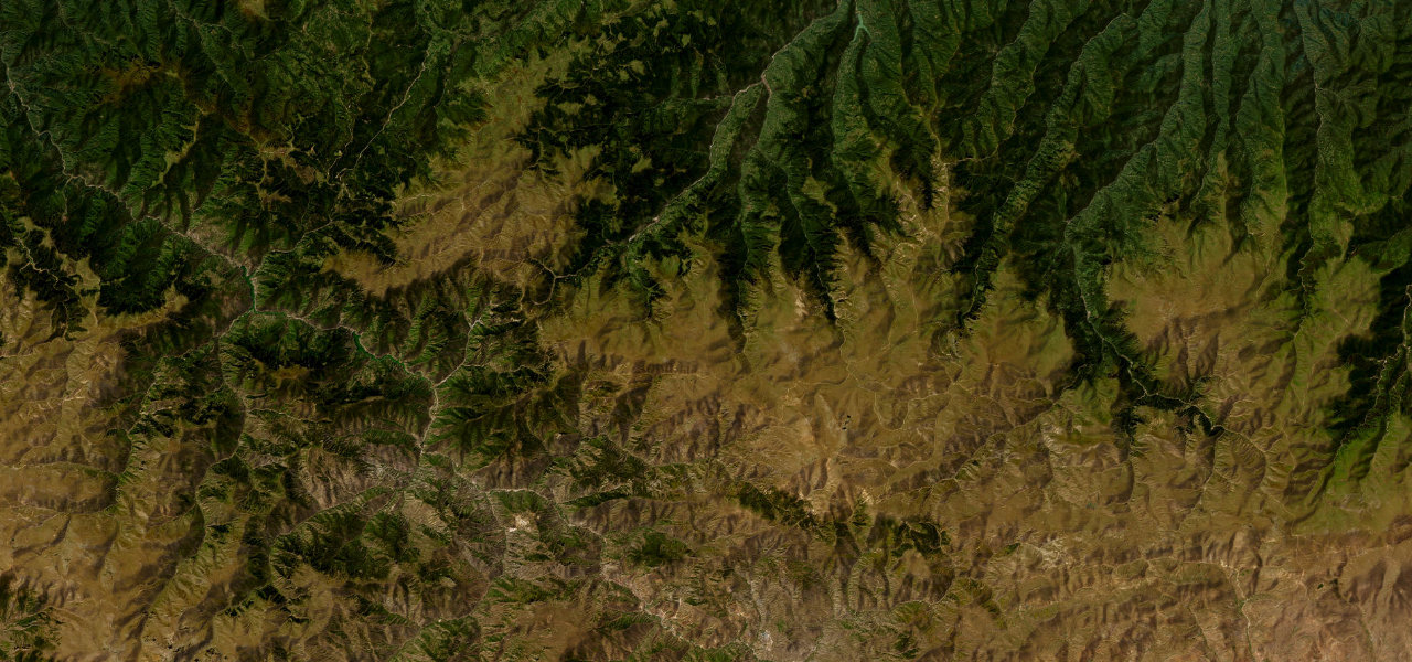
Road 59 begins where Karaj’s sprawl gives way to the Karaj River gorge, shadow-boxing the gorge north past the Amir Kabir Reservoir before ascending to the Kandovan Tunnel piercing the Alborz crest around 2,700 m. Beyond it the climate shifts abruptly: parched rock walls give way to dense, misty Hyrcanian rainforest, one of the world’s last temperate-rainforest refugia, before the descent through Marzanabad to sea level at Chalus.
Scenery
Where it runs
Navigate to the start: Apple Maps · Google Maps
Character
Elevation
under 4%4–8%over 8%23 – 2,639 mHazards
- rockfall and landslides
- avalanche risk and winter closures near the Kandovan Tunnel
- dense fog where dry and humid air masses meet
- extreme holiday congestion
- narrow carriageway with blind bends
See the typical season and live conditions for the high passes ›
Sources: Road geometry © OpenStreetMap contributors
Nearby roads
The closest great drives to Chalus Road.