Ras Al Khaimah · United Arab Emirates
Jebel Jais
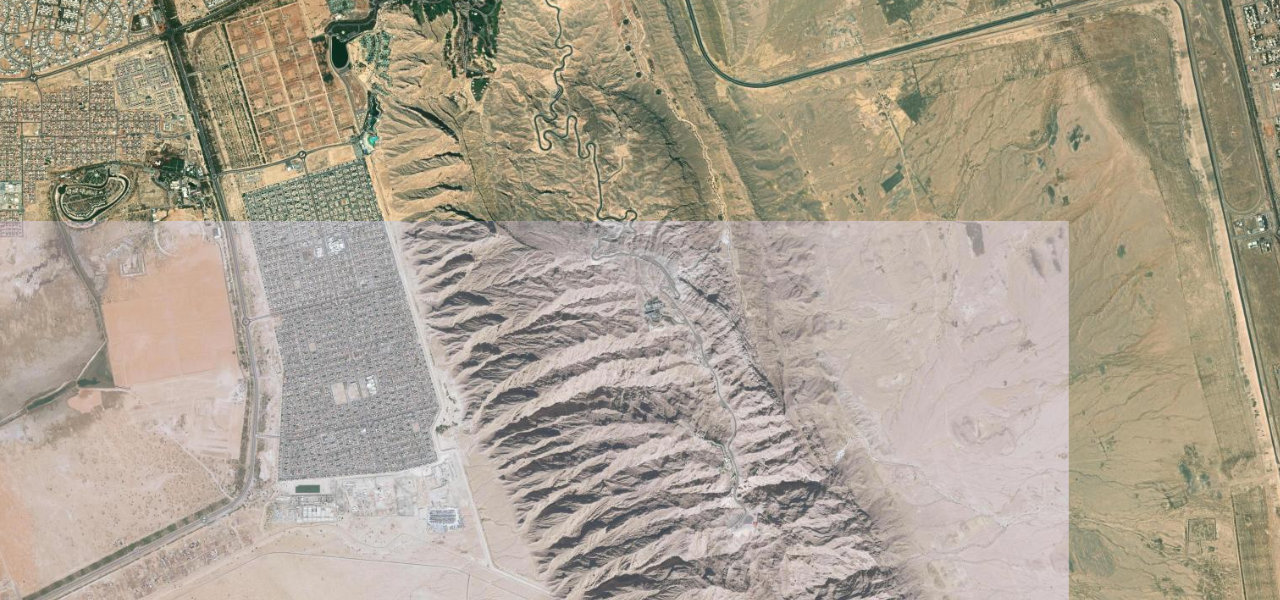
Wadi Shehah, Ras Al Khaimah to Jebel Jais Viewing Deck
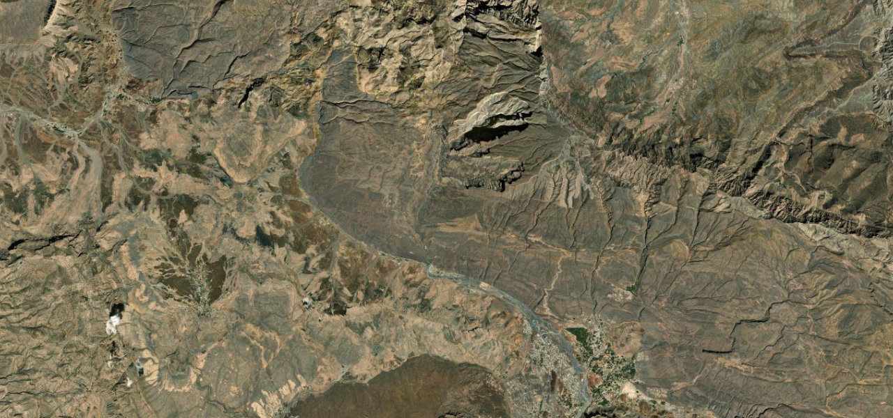
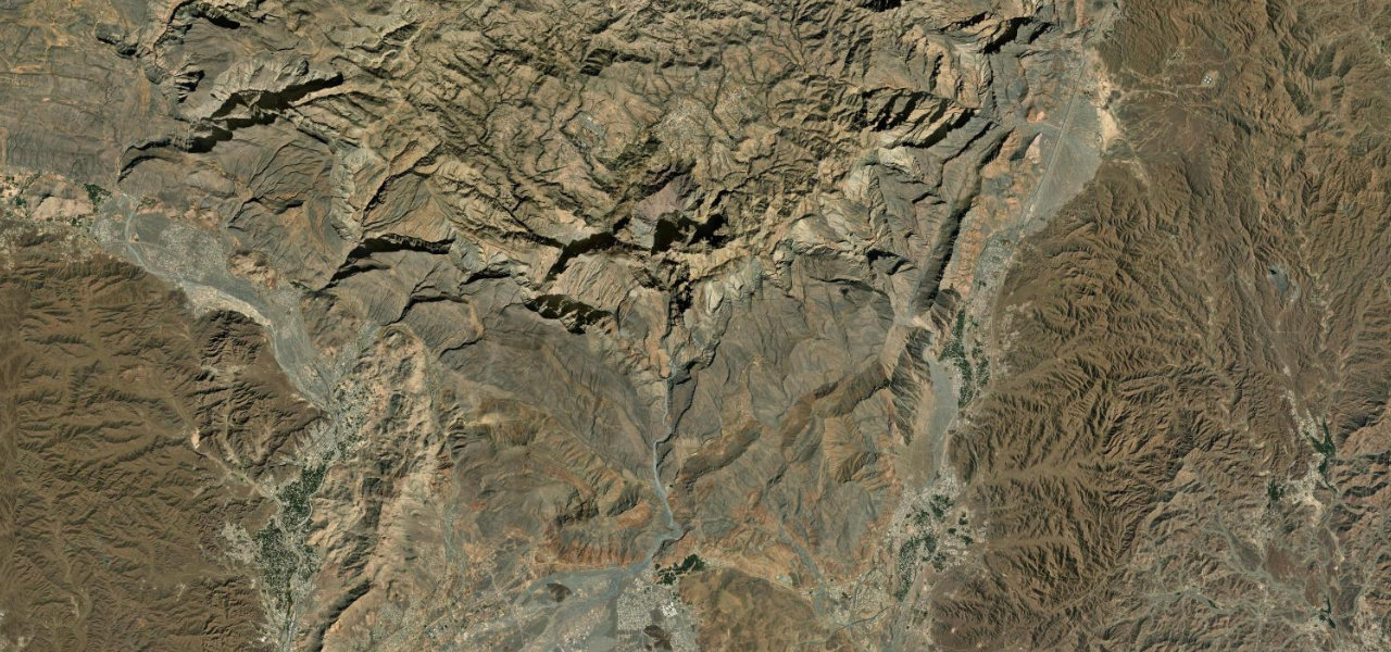
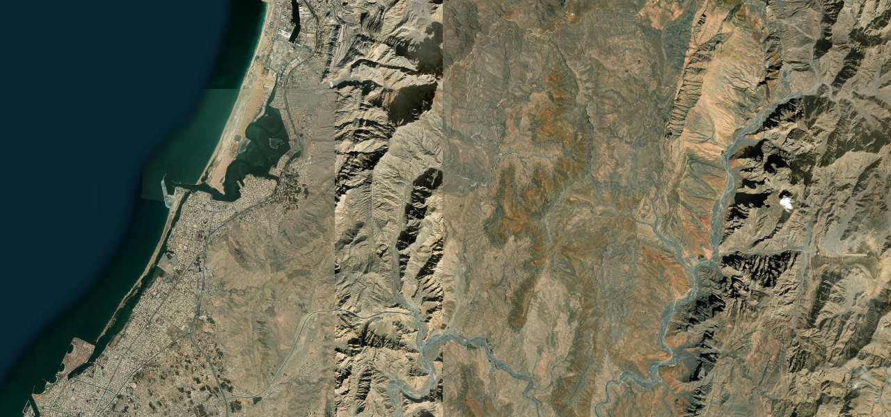
A beautifully engineered 36 km climb up the UAE’s highest mountain, winding through the Hajar range on wide, smooth tarmac to a viewpoint at 1,484 m with panoramas into Musandam.
From the Wadi Shehah junction the road ascends steadily north through dramatic mountain scenery, its well-banked curves and consistent gradient enjoyable in any car. Two lanes carry traffic up, one down. Opened in 2018, it quickly became the UAE’s finest mountain drive, ending at the Jebel Jais viewing deck where the world’s longest zipline launches from the clifftop.
Where it runs
Navigate to the start: Apple Maps · Google Maps
Character
Elevation
under 4%4–8%over 8%164 – 1,253 mHazards
- sightseers stopping on hairpins
- closures after heavy rain for rockfall inspection
- winter snow near the summit
See the typical season and live conditions for the high passes ›
Sources: Road geometry © OpenStreetMap contributors
Nearby roads
The closest great drives to Jebel Jais.