Ad Dakhiliyah · Oman
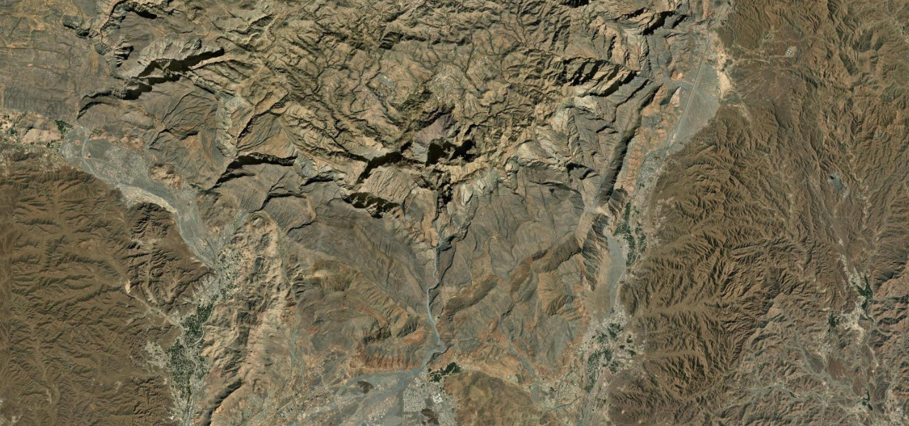
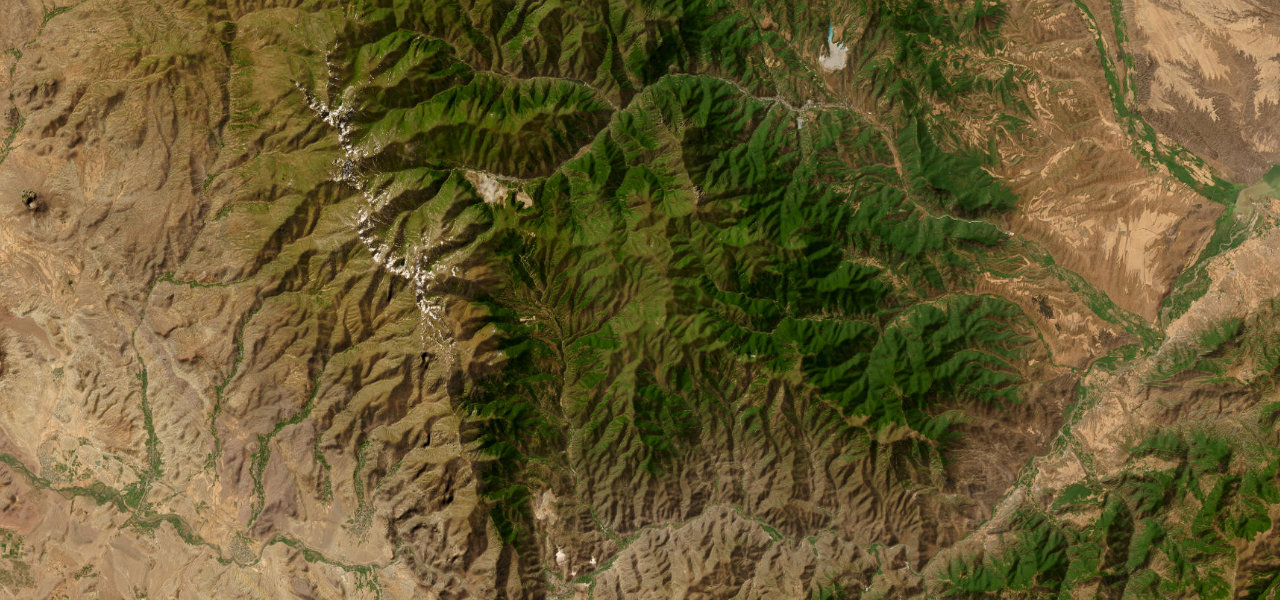
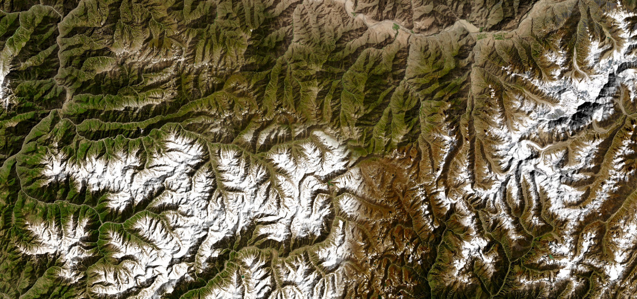
Jebel Shams
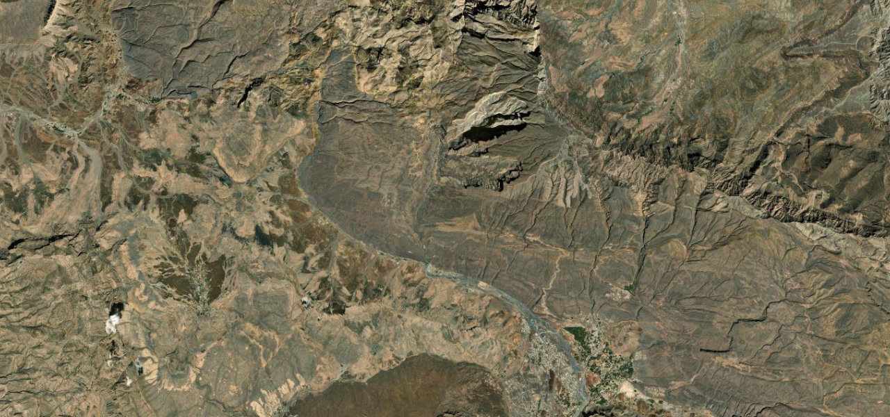
Al Hamra to Jebel Shams Rim
A dramatic 40 km ascent from the mud-brick town of Al Hamra to the rim of Wadi Ghul, the Grand Canyon of Arabia, with views into one of the Arab world’s deepest gorges from the flanks of Oman’s highest mountain.
The drive leaves Al Hamra on good tarmac that climbs into the Al Hajar al Gharbi range, narrowing and steepening as the plains recede. After about 30 km the surface becomes graded gravel for the final 7-8 km to the plateau viewpoints, where sheer cliffs plunge 1,000 m into Wadi Ghul. A 4WD is strongly recommended; the summit base is off-limits.
Scenery
Where it runs
Navigate to the start: Apple Maps · Google Maps
Character
Elevation
under 4%4–8%over 8%649 – 1,995 mHazards
- unpaved final 7 km impassable when wet
- no fuel on the mountain
- military zone at the true summit
- steep drops from the canyon rim
See the typical season and live conditions for the high passes ›
Sources: Road geometry © OpenStreetMap contributors
Nearby roads
The closest great drives to Jebel Shams.