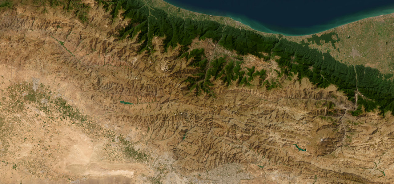
Al Batinah South · Oman
Wadi Bani Awf Crossing
Al Awabi to Bilad Sayt
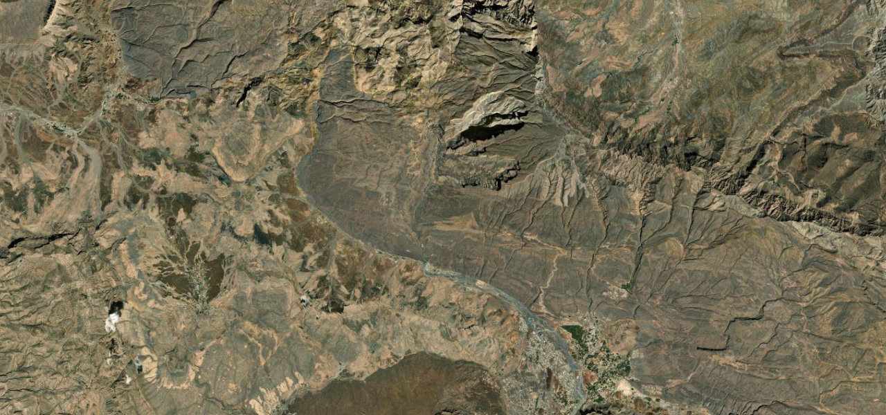
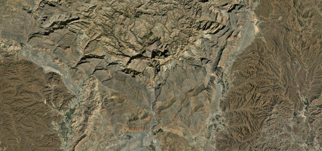
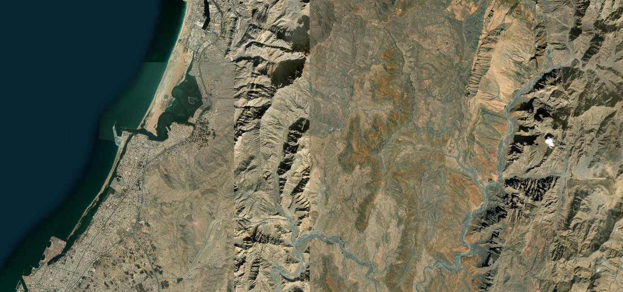
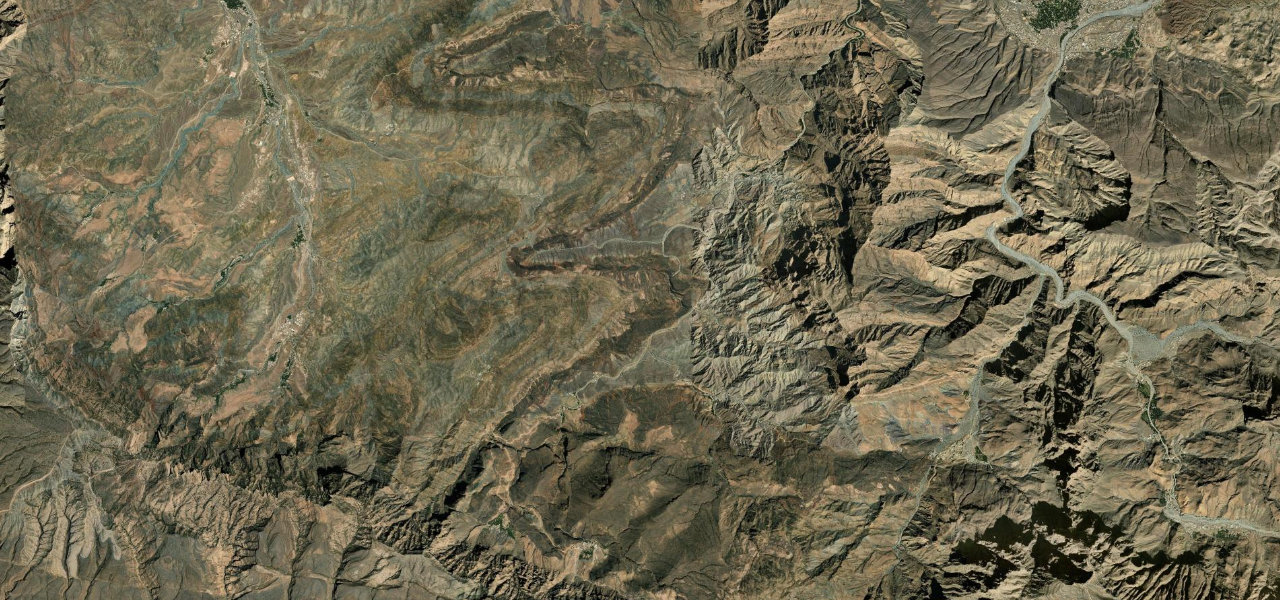
The Wadi Bani Awf crossing is one of the most dramatic 4WD routes in the Middle East, threading Snake Gorge then scaling the Western Hajar on precipitous switchbacks to the clifftop village of Bilad Sayt.
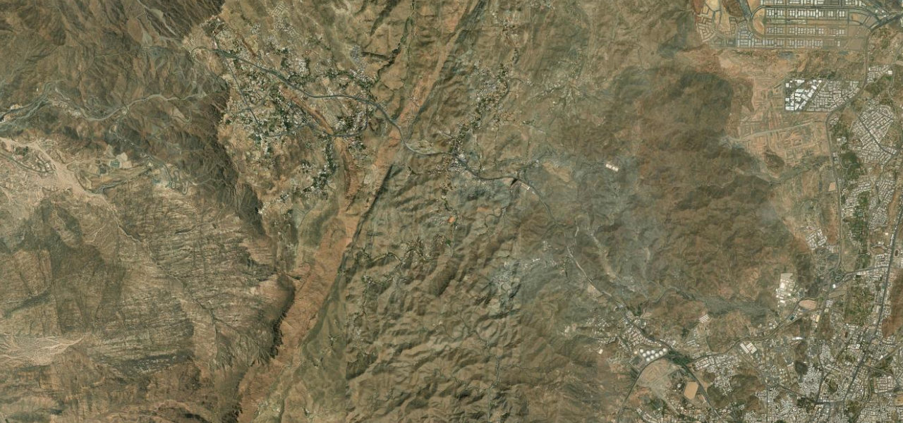
From the road near Al Awabi the track descends into Wadi Bani Awf, following a spring-fed stream through Snake Gorge where the walls close to a few metres apart. Beyond the gorge the surface becomes compacted gravel as the route climbs the Hajar escarpment in steep, tight switchbacks toward the Sharaf al Alamayn pass, the terraced mud-and-stone village of Bilad Sayt appearing suddenly in a hidden bowl below. Experienced 4WD drivers only.
Scenery
Where it runs
Navigate to the start: Apple Maps · Google Maps
Character
Steeper than 9 in 10 roads here in the catalogue.
Elevation
under 4%4–8%over 8%488 – 1,169 mPoints of interest
- مرشد سياحيViewpoint
Hazards
- 4WD with high clearance is absolutely essential, a 2WD will not complete this route
- Extremely narrow ledges with sheer drops of 500 m or more
- Loose gravel and rockfall risk throughout the upper section
- Flash floods can inundate the wadi floor without warning
- No fuel, phone signal or services for the entire crossing
Sources: Road geometry © OpenStreetMap contributors
Nearby roads
The closest great drives to Wadi Bani Awf Crossing.