Mecca Province · Saudi Arabia
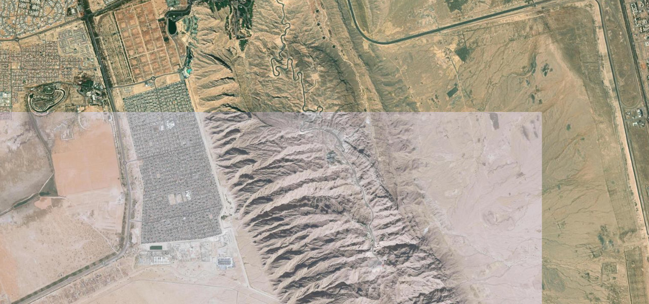
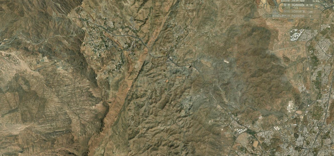
Al Hada Escarpment Road
15Al Hada to Kara Checkpoint
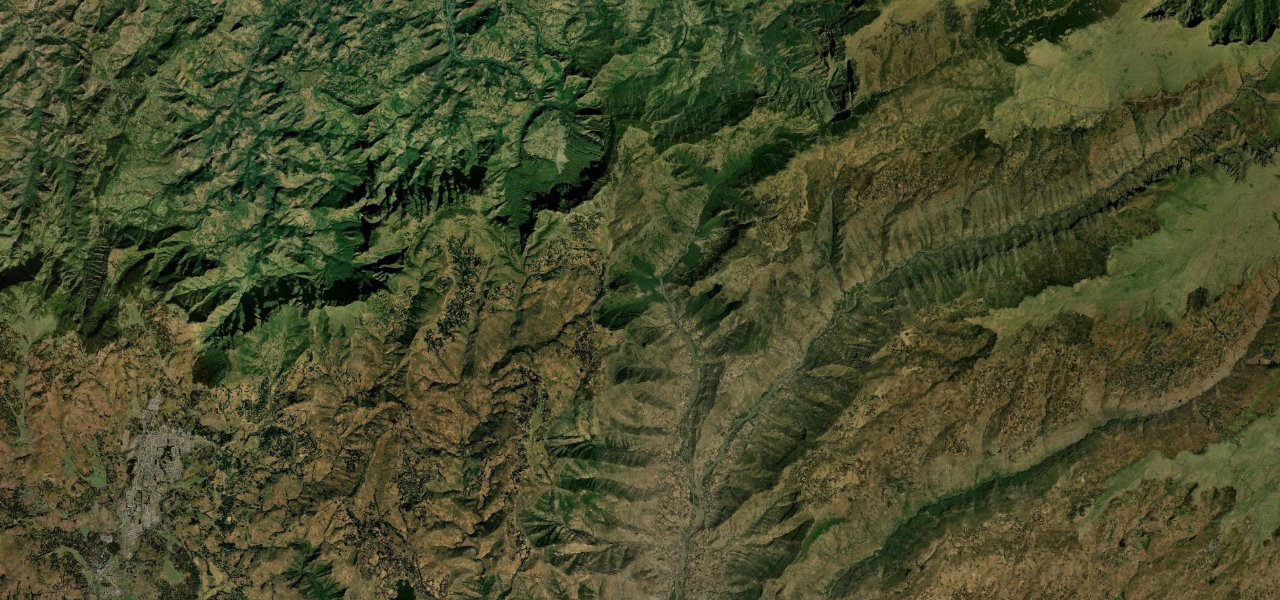
Saudi Arabia’s most famous mountain road descends the Hejaz Escarpment from the Al Hada plateau through 93 switchback bends, dropping roughly 1,300 m toward the Tihamah coastal plain.
Saudi Arabia’s most famous mountain road, ninety-three hairpin bends carved down the Hejaz Escarpment toward the Tihamah plain, baboons watching from the barriers.
Why we picked it
From the Al Hada resort area at around 1,975 m the road tips over the escarpment edge and the first of 93 bends begins. Each hairpin opens a wider view across the layered granite ridges and the hazy Tihamah plain; the heat rises as the road descends toward the Kara checkpoint. Dual-carriageway and well-surfaced, so position and anticipation matter on the tighter bends.
Where it runs
Navigate to the start: Apple Maps · Google Maps
Character
Elevation
under 4%4–8%over 8%1,689 – 1,984 mPoints of interest
- سدّ ثلبةLandmark
- zipLeneksaLandmark
Hazards
- Ninety-three bends requiring constant steering input
- Fog and low cloud reducing visibility near the summit
- Baboons on the carriageway at multiple points
- Heavy truck and bus traffic on a major inter-city route
- Heat haze and high temperatures in summer
Sources: Road geometry © OpenStreetMap contributors
Nearby roads
The closest great drives to Al Hada Escarpment Road.