North Gondar, Amhara · Ethiopia
Simien Mountains Road
Debark to Sankaber
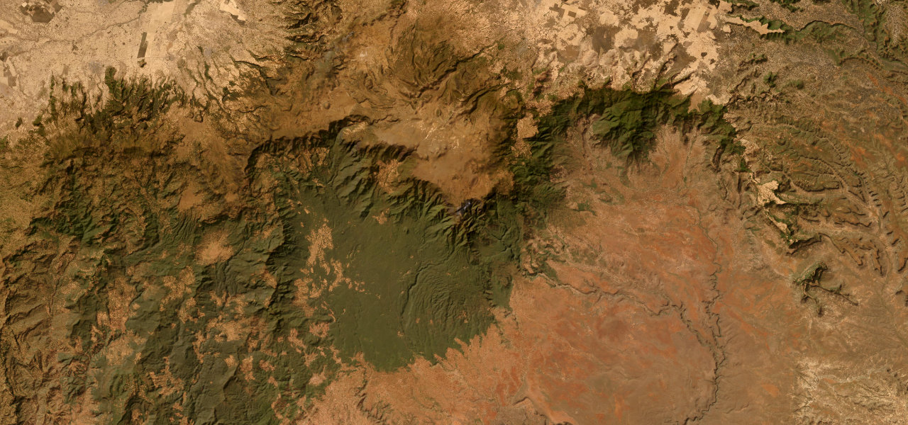
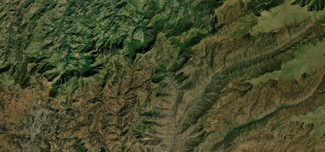
The gravel road from Debark into the Simien Mountains traverses one of Africa’s most dramatic highland landscapes, sheer escarpment cliffs dropping 1,500 m, gelada baboons, and views toward Ras Dashen, Ethiopia’s highest peak.
From Debark at 2,850 m the road climbs east through the park gate across the Simien escarpment to Sankaber at around 3,250 m, following the rim of a dramatic highland plateau where cliffs fall thousands of metres to the lowlands while moorland stretches to the peaks. A capable 4x4 is essential; the dry season (October-February) is the only safe window.
Scenery
Best seasons
In these collections
In these guides
Simien Mountains Road on the map28.4 mi · point to point
Navigate to the start: Apple Maps · Google Maps
Character
Higher than 9 in 10 roads in the catalogue.
Corners
busiest around mile 13Elevation
under 4%4–8%over 8%2,770.4 – 3,769.9 mPoints of interest1 stop
- Jin Bahir FallsLandmark22 mi in
Hazards
- Gravel and rocky surface
- 4x4 essential
- Extreme cliff edges
- Gelada baboons on the road
- Altitude sickness above 3,500 m
Sources
“The Simien Mountains National Park is dominated by the massive Ras Dejen peak. The escarpment offers outstanding views over the surrounding lowlands.”
Verified route: mapped from real road geometry and fact-checked by a human editor. How roads get checked
Driving the Simien Mountains Road: quick answers
How long does it take to drive the Simien Mountains Road?
How difficult is the Simien Mountains Road to drive?
When is the best time to drive the Simien Mountains Road?
Is the Simien Mountains Road fully paved?
Nearby roads
The closest great drives to Simien Mountains Road.