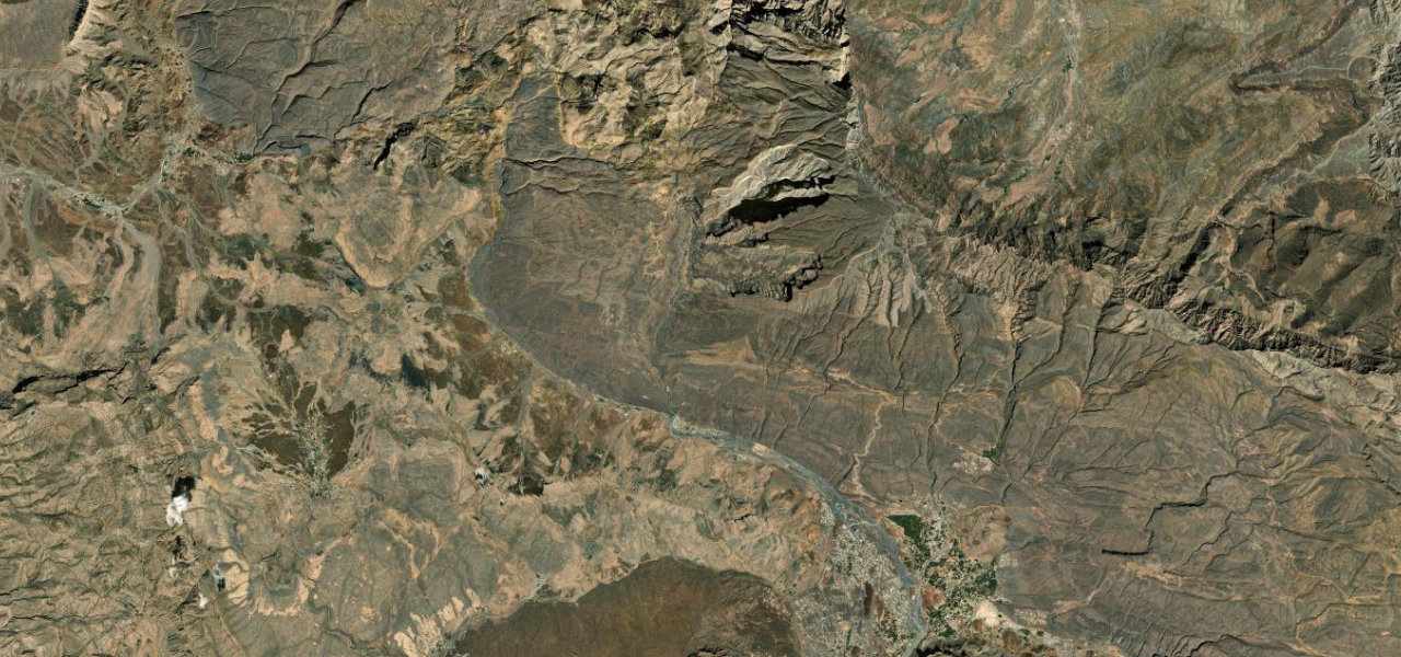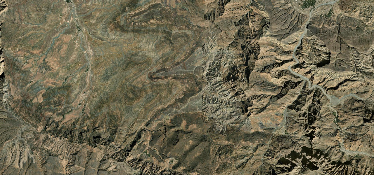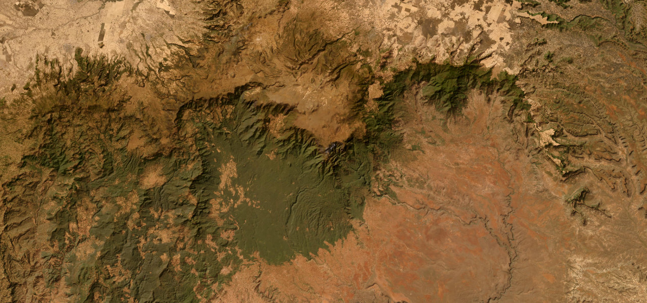
Bale Mountains · Ethiopia
Sanetti Plateau Road
Goba to Dolo Mena
The highest all-weather road in Africa, climbing onto the Sanetti Plateau above 4,100 m before dropping the Harenna Escarpment in a long sequence of bends, a 2,000 m descent from Afro-alpine moorland into cloud forest.
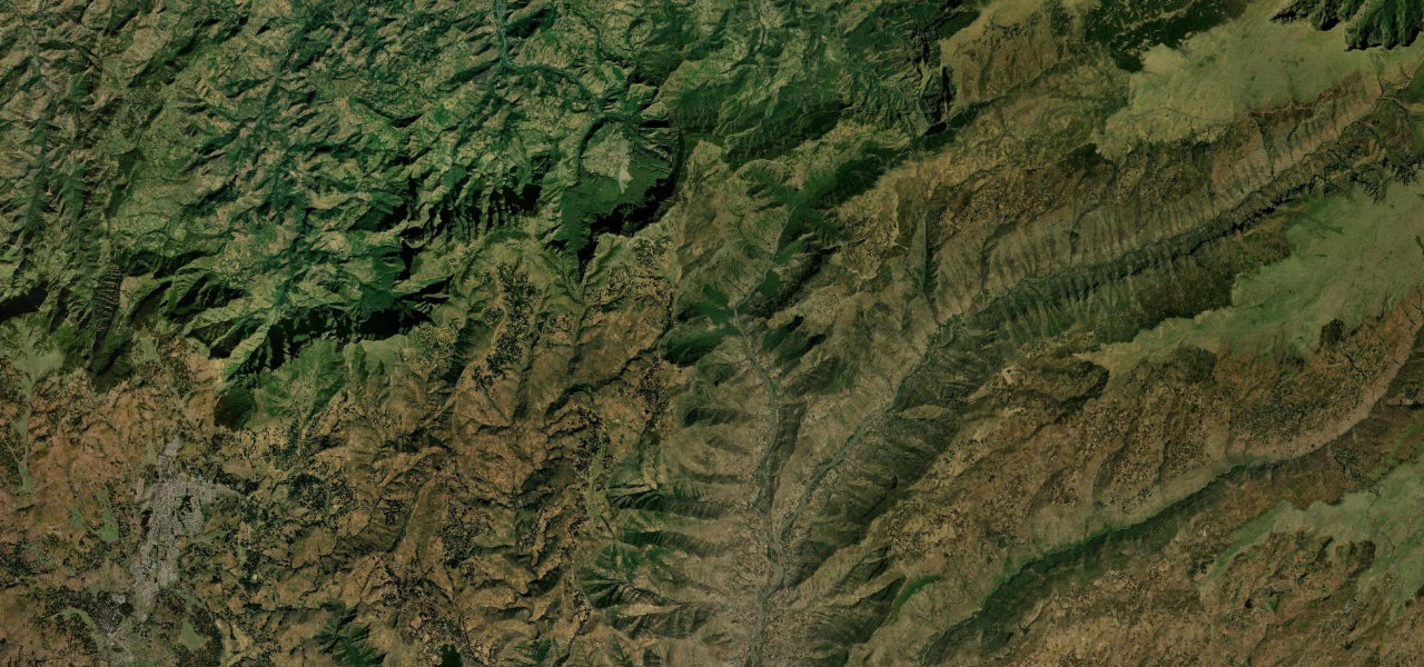
From Goba the road climbs steadily onto the Sanetti Plateau, crossing open Afro-alpine moorland dotted with giant lobelia and crested by the 4,377 m Tullu Dimtu, the second-highest point in Ethiopia and prime Ethiopian wolf country. The surface is rough in places and exposed to weather at altitude. Beyond the plateau the road tips over the Harenna Escarpment and descends through a near-continuous run of bends into dense, dripping Harenna cloud forest, shedding more than 2,000 m of altitude before reaching Dolo Mena.
Africa’s highest road: a 4,100 m Afro-alpine plateau crossing that plunges into Harenna cloud forest, with Ethiopian wolves for company.
Why we picked it
Scenery
Best seasons
In these collections
In these guides
Sanetti Plateau Road on the map65.6 mi · point to point
Navigate to the start: Apple Maps · Google Maps
Character
Higher than 9 in 10 roads in the catalogue.
Corners
busiest around mile 28Elevation
under 4%4–8%over 8%1,309.6 – 4,120.1 mHazards
- Sections are unpaved and rough, with loose gravel
- Acute altitude effects possible above 4,000 m
- Sudden fog, rain and freezing conditions on the plateau
- Wildlife and free-ranging livestock on the carriageway
- Remote, with no fuel or services for long stretches
Sources
“this is the highest all-weather road in Africa and crosses the 4,000-metre contour”
Verified route: mapped from real road geometry and fact-checked by a human editor. How roads get checked
Driving the Sanetti Plateau Road: quick answers
How long does it take to drive the Sanetti Plateau Road?
How difficult is the Sanetti Plateau Road to drive?
When is the best time to drive the Sanetti Plateau Road?
Is the Sanetti Plateau Road fully paved?
Nearby roads
The closest great drives to Sanetti Plateau Road.