Rift Valley · Kenya
Rift Valley Escarpment Road
B3Limuru Escarpment Viewpoint to Naivasha
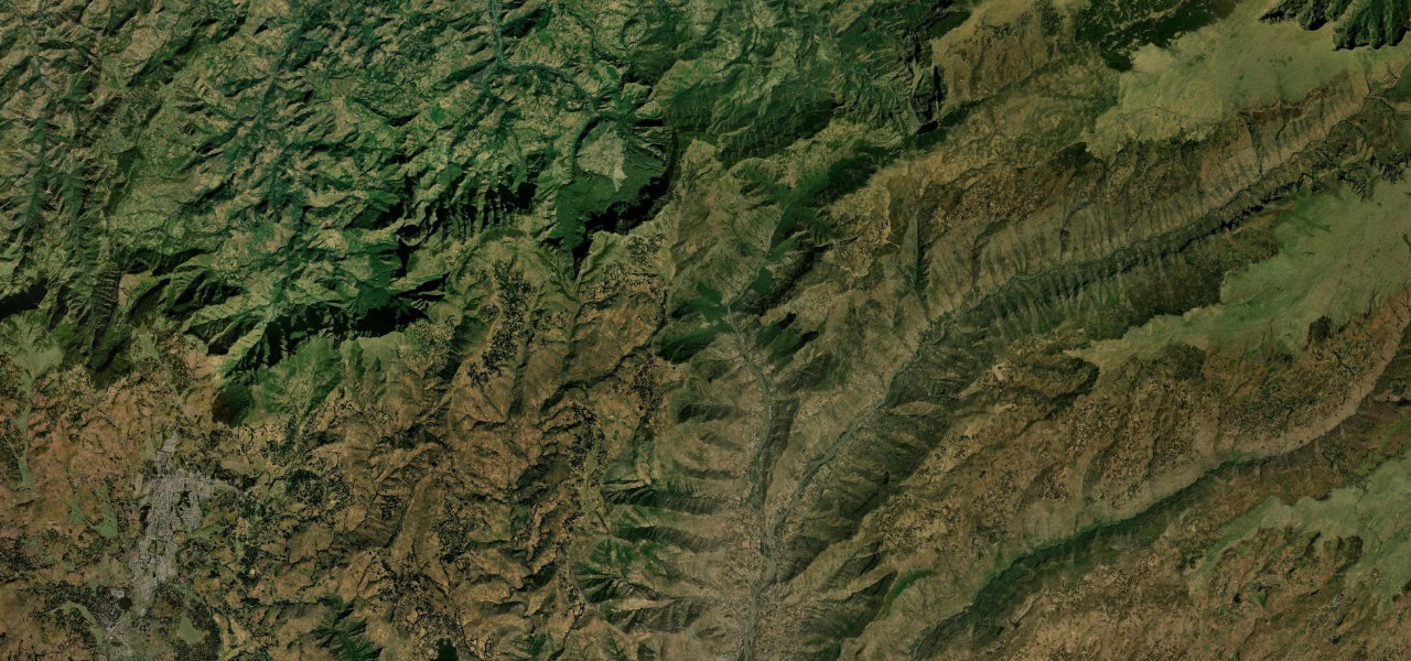
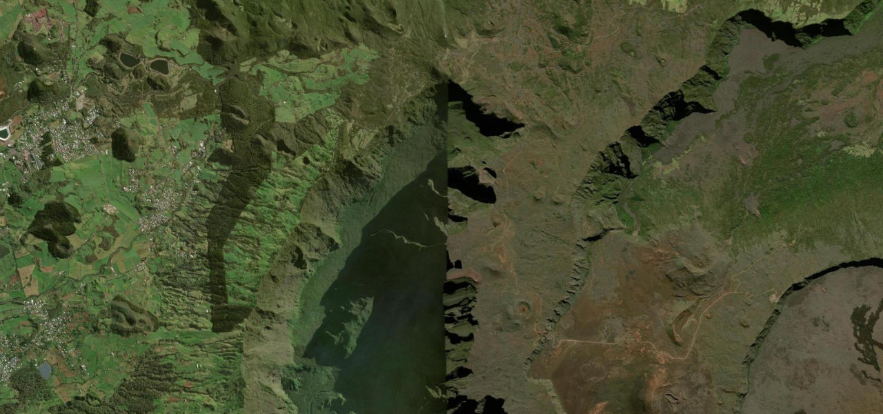
The old Nairobi–Naivasha road drops dramatically from the Kikuyu Escarpment into the Great Rift Valley, one of East Africa’s great geological spectacles, built by Italian prisoners of war.
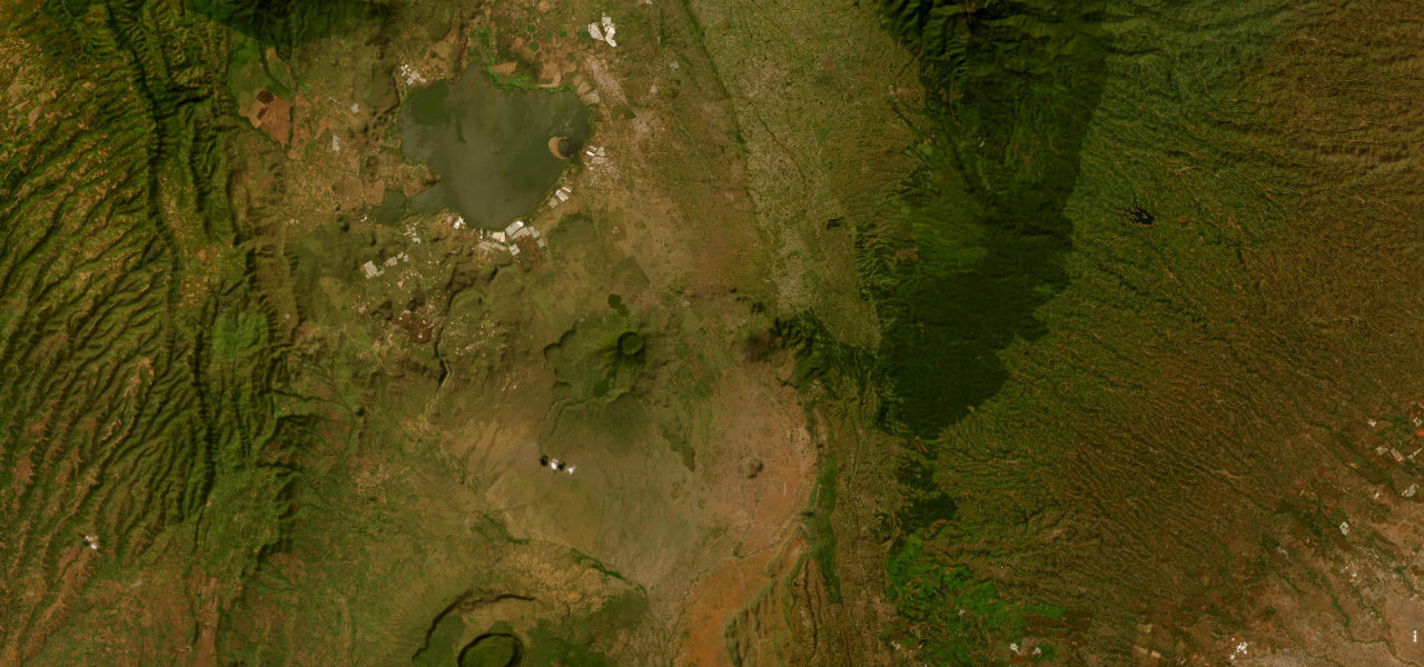
From the escarpment viewpoint above Limuru the road begins its long winding descent toward Mai Mahiu, switchbacking through tall euphorbia candelabras with the Rift Valley floor more than 600 m below. Roadside curio stalls mark the classic photo stops; the gradient eases past Mai Mahiu across the valley floor toward Lake Naivasha, the Longonot volcano to the south.
Scenery
Where it runs
Navigate to the start: Apple Maps · Google Maps
Character
Elevation
under 4%4–8%over 8%1,823 – 2,298 mPoints of interest
- Rift valley viewpointViewpoint
- 3rd World ViewpointViewpoint
- Great Rift ValleyViewpoint
Hazards
- Heavy truck traffic on the steep escarpment descent
- Sharp hairpin bends with limited visibility
- Roadside vendors and pedestrians at the viewpoints
- Slippery surface during the long rains from March to May
Sources: Road geometry © OpenStreetMap contributors
Nearby roads
The closest great drives to Rift Valley Escarpment Road.