Réunion · France
Route de Cilaos
RN5Saint-Louis to Cilaos
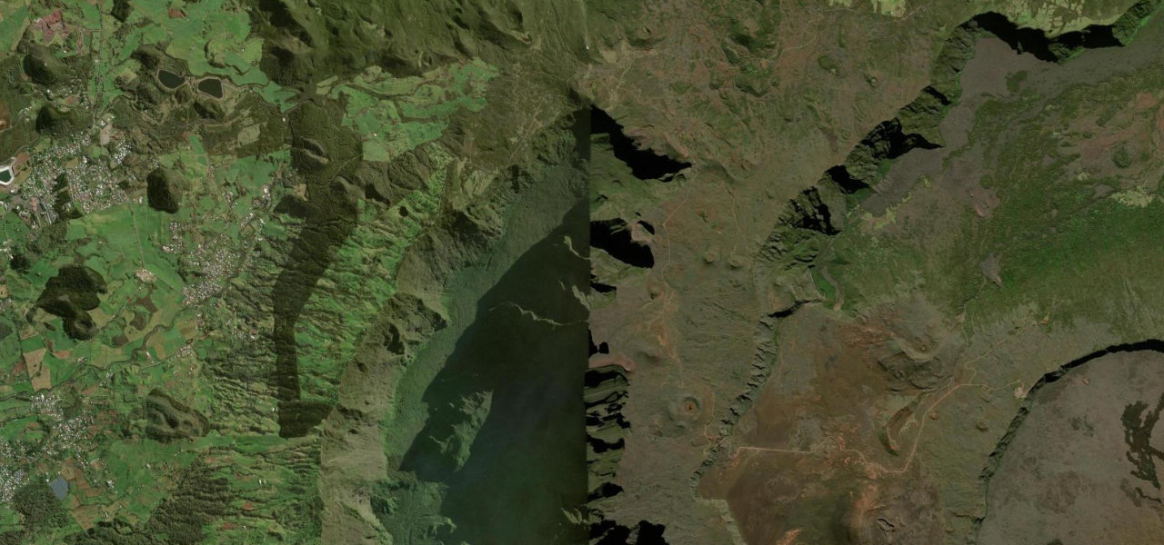
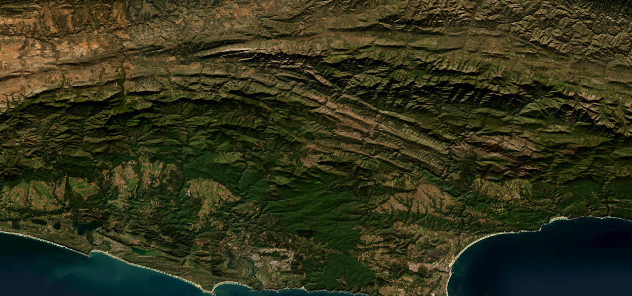
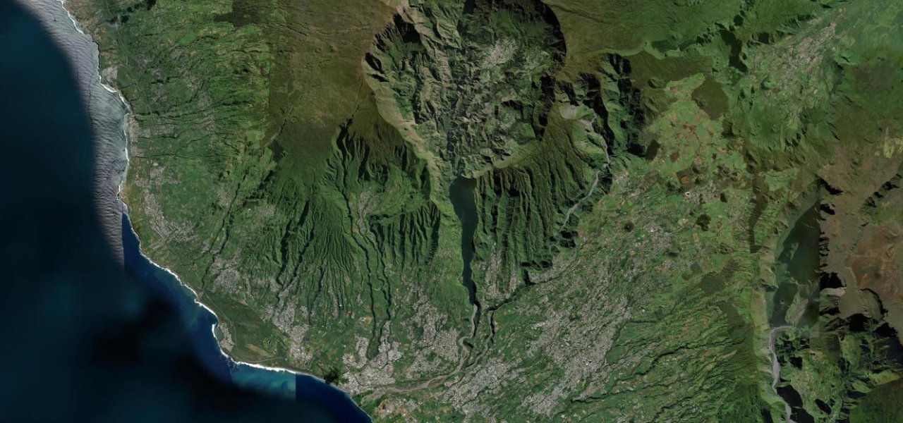
Réunion’s most implausible feat of road engineering: 35 km of switchbacks, around 400 bends and three single-lane tunnels blasted through vertical volcanic cliffs to reach the isolated Cirque de Cilaos, accessible only by trail until 1932.
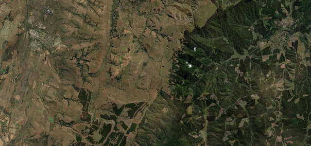
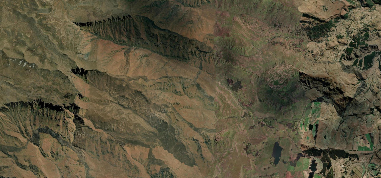
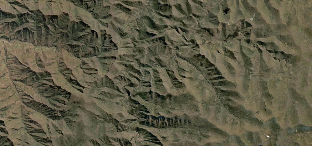
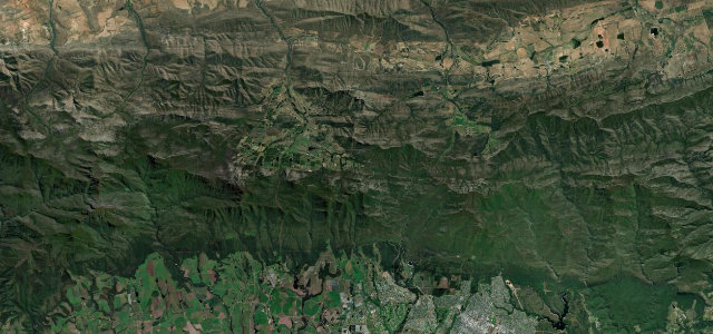
The RN5 branches inland at Saint-Louis and climbs through sugar-cane fields into the ravine country guarding the Cirque de Cilaos. It clings to sheer cliffs, doubling back dozens of times, passing through three single-lane tunnels (headlights and horn mandatory). Its signature is the Pont de la Boucle, where the road loops back over itself. As the cirque walls close in, it corkscrews up through cloud forest before descending into the caldera floor of Cilaos, ringed by 3,000 m peaks.
Scenery
Where it runs
Navigate to the start: Apple Maps · Google Maps
Character
More hairpins than 9 in 10 roads in the catalogue.
Elevation
under 4%4–8%over 8%60 – 1,218 mHazards
- rockfall and landslides from friable volcanic cliffs
- no alternate route if closed
- three single-lane unlit tunnels
- vertiginous drops with minimal barriers
- afternoon cloud in the cirque
- no fuel between Saint-Louis and Cilaos
See the typical season and live conditions for the high passes ›
Sources: Road geometry © OpenStreetMap contributors
Nearby roads
The closest great drives to Route de Cilaos.