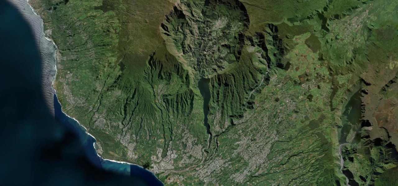
Réunion · France
Route du Volcan
RF5Bourg-Murat to Pas de Bellecombe
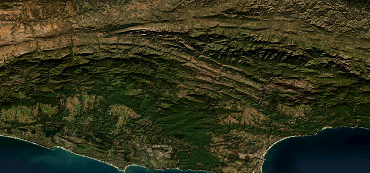
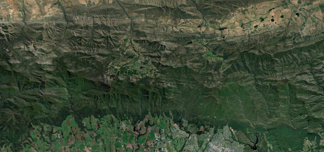
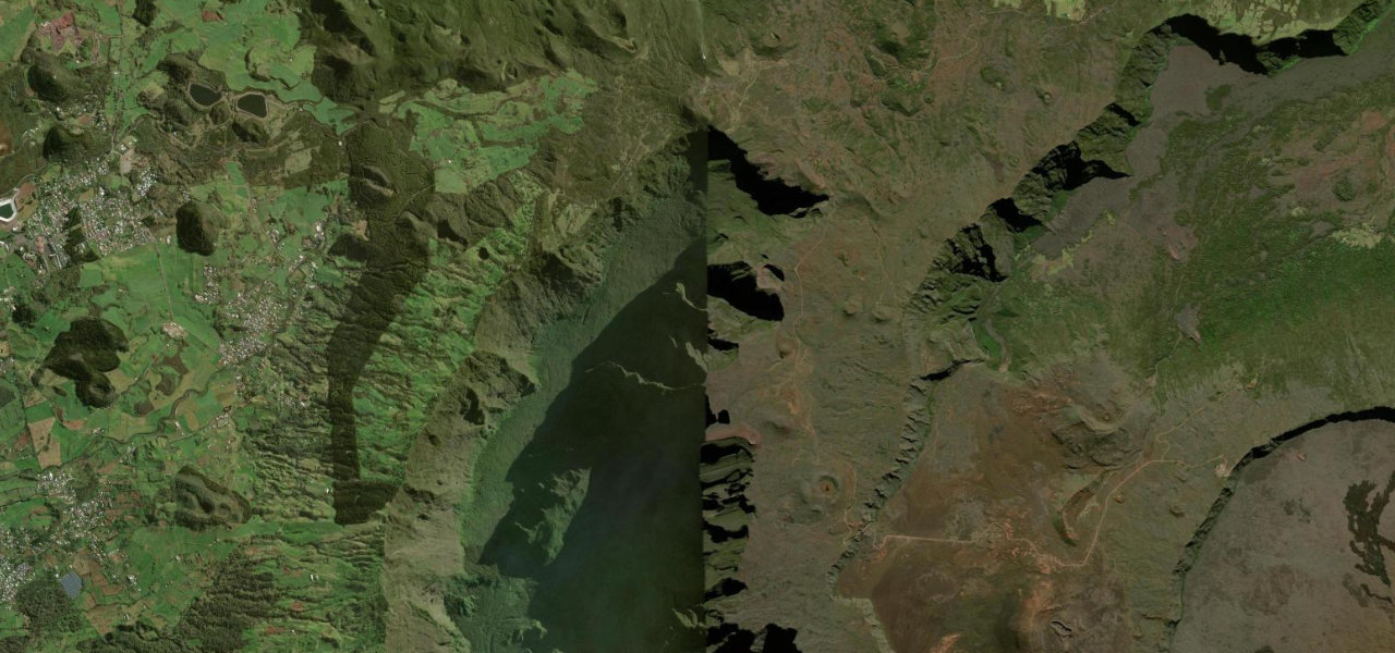
A 23 km forestry road that traverses three alien worlds in succession, cattle pasture, wind-blasted moorland and a stark lava plain, ending at the caldera rim of Piton de la Fournaise, one of the most active volcanoes on earth.
Departing Bourg-Murat on the Plaine des Cafres at 1,550 m, the RF5 climbs through tree-heather moorland; the vegetation thins to nothing crossing the Plaine des Sables at 2,350 m, a Mars-like expanse of dark scoria. The final kilometres are unsealed before the road ends at the Pas de Bellecombe viewpoint at 2,311 m on the rim of the Enclos Fouqué caldera, the cone of Piton de la Fournaise rising from its floor. Check eruption status before setting out.
Where it runs
Navigate to the start: Apple Maps · Google Maps
Character
Elevation
under 4%4–8%over 8%1,615 – 2,363 mHazards
- access prohibited during active eruptions
- ice at Pas des Sables on winter mornings
- final 6 km unsealed volcanic scoria
- rapid fog at altitude
- cyclone-season damage
Sources: Road geometry © OpenStreetMap contributors
Nearby roads
The closest great drives to Route du Volcan.