
 State guide
The best driving roads in Virginia
3 driving roads in Virginia, each with its route, climb and best seasons.
Roads3mapped
Combined128 mi206 km of driving
High point1,053 m3,455 ft
The roads
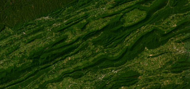 Back of the Dragon32 mi · 1 h 11 min · 1,053 m summitView the roadbook ›
More states
Driving in Virginia: common questions
What is the best driving road in Virginia?
Back of the Dragon is the place to start. A 32-mile run of Virginia Route 16 between Marion and Tazewell that crosses three Appalachian ridges, with a quoted 438 curves and the distinction of being Virginia’s only designated motorcycle route.
How many great driving roads does Virginia have?
3 roads in our catalogue, 128 miles of driving in all, every one traced from OpenStreetMap.