Kentucky · United States
Red River Gorge
KY 77KY 715Slade to Pine Ridge
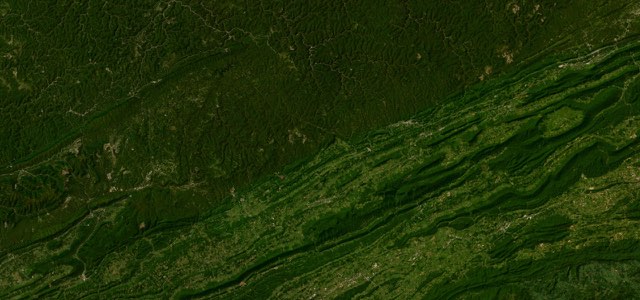
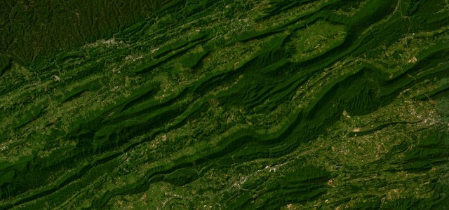
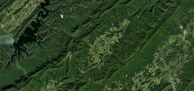
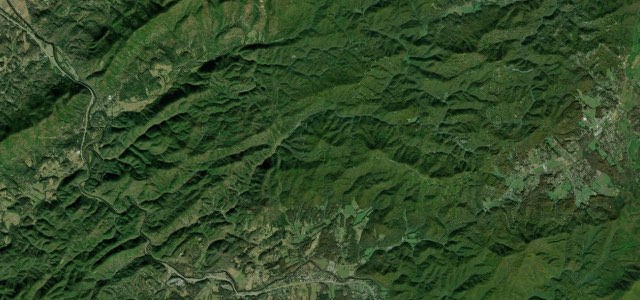
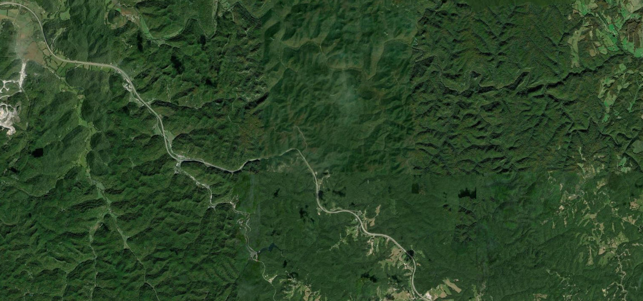
The heart of the Red River Gorge National Scenic Byway: KY 77 through the one-lane Nada Tunnel, then KY 715 along the Red River and up past Sky Bridge, 18 miles of narrow, steep, sharply curving forest road.
From KY 11 and KY 15 near Slade, KY 77 climbs into the Daniel Boone National Forest to the Nada Tunnel, a 900 ft former logging railroad bore of 1910 to 1911 that is one lane wide, unlit and approached round a sharp blind curve from the west. Beyond it the road winds down to cross the Red River, and at the KY 715 junction the route turns east along the river, past trailhead pull-offs and the Gladie Visitor Center. KY 715 then passes the turn for Sky Bridge, near the narrowest part of the corridor, climbs out of the valley and runs south along the ridge past Angel Windows to rejoin KY 15 at Pine Ridge. The lanes are 8 to 9 ft wide with a foot or less of shoulder, the posted limit is 35 mph and KYTC puts the drive at about 50 minutes, though queues at the tunnel on the busiest October Saturday it measured reached 29 cars. For more, KY 77 carries on north of the KY 715 junction over Tarr Ridge on wide, banked sweepers.
Scenery
Best seasons
In these collections
Red River Gorge on the map18.1 mi · point to point
Navigate to the start: Apple Maps · Google Maps
Character
Corners
busiest around mile 13Elevation
under 4%4 to 8%over 8%211 to 392 mPoints of interest4 stops
- Nada TunnelBuilt in 1910 to 1911 for a logging railroad, 900 ft long, one lane and unlit, with yield signs at each portal.2.2 mi in
- Gladie Visitor CenterForest Service centre with exhibits on the gorge’s geology and lumber history, plus maps and backcountry permits.8.6 mi in
- Sky BridgeSandstone arch about 75 ft long and 23 ft high, crossed by Trail 214 from the recreation area car park off KY 715.12 mi in
- Angel WindowsSandstone arch formation listed among the byway’s sights, with its own car park on KY 715.14 mi in
Hazards
- Nada Tunnel is one lane and unlit, signed for 12 ft
- Sharp blind curve on the western tunnel approach
- Queues at the tunnel on autumn Saturdays
- Hikers, cyclists and parked cars near trailheads
- Standing water and ice at the tunnel portal
- Narrow lanes with little or no shoulder
Sources
“Trace the path of the winding Red River by travelling along the Red River Gorge Scenic Byway.”
“Once inside the DBNF boundary, the curves get tighter and blinder as you twist your way past 715, along the cliff-line and through Nada Tunnel.”
Route traced from OpenStreetMap, with its stats measured from that line. How the roads are mapped
Driving the Red River Gorge: quick answers
How long does it take to drive the Red River Gorge?
How difficult is the Red River Gorge to drive?
When is the best time to drive the Red River Gorge?
Nearby roads
The closest great drives to Red River Gorge.