Michigan · United States
Leelanau Peninsula
M-22Traverse City to Empire
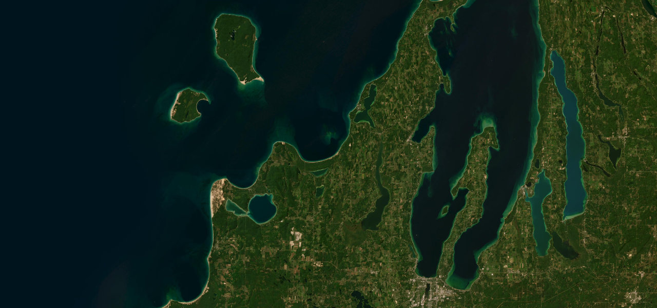
M-22 runs from Traverse City up the west arm of Grand Traverse Bay to Northport, then down the Lake Michigan shore through Leland and Glen Arbor to Sleeping Bear Dunes at Empire.
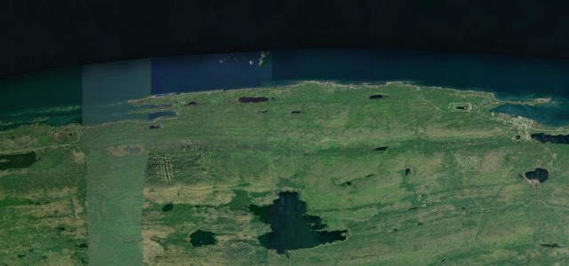
From the M-22 and M-72 junction at Greilickville on the west side of Traverse City, M-22 runs north along the west arm of Grand Traverse Bay through Suttons Bay, crosses the 45th parallel just beyond it, and passes the Grand Traverse Band reservation at Peshawbestown. It reaches its northernmost point at Northport, then turns south to Leland, where the Fishtown fishing shacks stand on the Leland River. South of Leland the road follows the Lake Michigan shore past Good Harbor and Pyramid Point and into Sleeping Bear Dunes National Lakeshore, passes the farms of the Port Oneida Rural Historic District, and runs through Glen Arbor. It then takes the inland route between Little Glen Lake and Big Glen Lake and ends at the junction with M-72 in Empire, where the national lakeshore has its visitor centre. The road has numerous turns and hills, and it was voted the best scenic autumn drive in the United States by 10Best readers in 2015.
Leelanau Peninsula on the map64.1 mi · point to point
Navigate to the start: Apple Maps · Google Maps
Character
Corners
busiest around mile 27Elevation
under 4%4 to 8%over 8%179 to 270 mPoints of interest5 stops
- 45th ParallelRoadside marker where M-22 crosses the 45th parallel near Suttons Bay.17 mi in
- FishtownHistoric fishing shacks on the Leland River in Leland, owned by the Fishtown Preservation Society.38 mi in
- Village Cheese ShantyCheese shop in Fishtown selling made-to-order sandwiches.38 mi in
- Port Oneida SchoolHistoric school among the farms of the Port Oneida Rural Historic District, which lies along M-22 between Glen Arbor and Lake Leelanau.52 mi in
- Philip A. Hart Visitor CenterSleeping Bear Dunes National Lakeshore visitor centre on Front Street in Empire, at the end of the drive.64 mi in
Hazards
- Heavy traffic in summer and on autumn colour weekends
- Single-lane roadworks in Leland until 11 November 2026
- Single-lane roadworks at Glen Lake Narrows until 23 October 2026
Sources
“The northern part of M-22, from the Benzie-Leelanau County Line to M-72 in Traverse City, was designated an official byway in 2002 by the Michigan Department of Transportation (MDOT) and named the Leelanau Scenic Heritage Route.”
“According to our readers, the best stretch of road for fall leaf-peeping is Michigan’s M-22, a 116-mile route along Lake Michigan that is absolutely breathtaking come autumn.”
“The road itself comprises numerous turns and hills, making it a very popular drive for tourists visiting the area from areas such as Chicago and Detroit, especially during autumn.”
Route traced from OpenStreetMap, with its stats measured from that line. How the roads are mapped
Driving the Leelanau Peninsula: quick answers
How long does it take to drive the Leelanau Peninsula?
How difficult is the Leelanau Peninsula to drive?
When is the best time to drive the Leelanau Peninsula?
Nearby roads
The closest great drives to Leelanau Peninsula.