Minnesota · United States
North Shore Scenic Drive
MN 61Two Harbors to Grand Marais
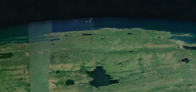
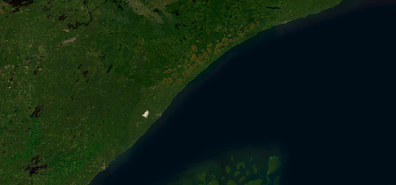
MN 61 follows the Lake Superior shore from Two Harbors to Grand Marais past Gooseberry Falls, Split Rock Lighthouse and Palisade Head, as part of Minnesota’s North Shore Scenic Drive All-American Road.
From the north edge of Two Harbors, where the four-lane expressway from Duluth gives way to a two-lane road, MN 61 stays close to the rocky North Shore with the foothills of the Sawtooth Range to the northwest. The Lafayette Bluff and Silver Creek Cliff tunnels come in the first ten miles, and Gooseberry Falls State Park, about 13 miles northeast of Two Harbors, follows, with Split Rock Lighthouse on its cliff further on. Beaver Bay and Silver Bay come next, then Palisade Head, a lava-flow headland at milepost 57 that belongs to Tettegouche State Park. Beyond Silver Bay the highway passes more state parks before it reaches Schroeder, Tofte, Lutsen and Cascade River State Park. It finishes in Grand Marais, the Cook County seat where the Gunflint Trail begins, at the Broadway junction near the harbour. The road is mostly gentle, with long bends and short climbs.
Scenery
Best seasons
In these collections
North Shore Scenic Drive on the map80.2 mi · point to point
Navigate to the start: Apple Maps · Google Maps
Character
Corners
busiest around mile 74Elevation
under 4%4 to 8%over 8%186 to 259 mPoints of interest6 stops
- Betty’s PiesCafe and pie shop on Highway 61 that grew from a 1957 fish shack by the Stewart River.at the start
- Gooseberry Falls State ParkVisitor centre for the park at the mouth of the Gooseberry River, which includes the Upper, Middle and Lower Falls.10 mi in
- Split Rock LighthouseLighthouse completed in 1910 on a 133-foot cliff above Lake Superior.17 mi in
- Palisade HeadLava-flow headland reached by a short access road, with sheer cliff edges and Split Rock Lighthouse in view on clear days.28 mi in
- Cascade FallsFalls in Cascade River State Park, where the river descends to meet Lake Superior.71 mi in
- Angry Trout CafeRestaurant in an old fishing shanty on Grand Marais Harbor, serving fresh Lake Superior fish.80 mi in
Hazards
- Weekday single-lane signals in the Lafayette Bluff tunnel during MnDOT lighting works
- Two Harbors reconstruction planned for 2027 and 2028, with detours
- Heavy visitor traffic in the autumn colour season
Sources
“The route stays close to the rocky North Shore, offering spectacular vistas of the lake to the southeast as it skirts along the foothills of the Sawtooth Range to the northwest.”
“The North Shore Scenic Drive along Lake Superior is a spectacular All-American Road featuring dramatic scenery and eight state parks.”
Route traced from OpenStreetMap, with its stats measured from that line. How the roads are mapped
Driving the North Shore Scenic Drive: quick answers
How long does it take to drive the North Shore Scenic Drive?
How difficult is the North Shore Scenic Drive to drive?
When is the best time to drive the North Shore Scenic Drive?
Nearby roads
The closest great drives to North Shore Scenic Drive.