Illinois · United States
Great River Road, Alton to Grafton
IL 100Alton to Grafton
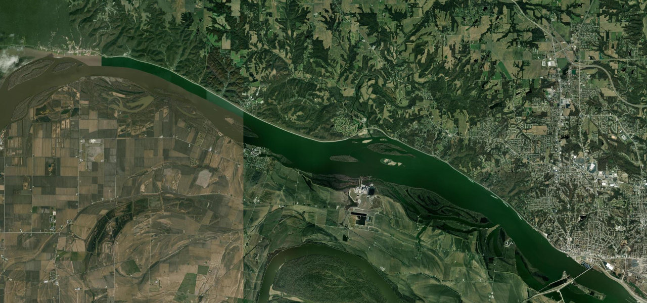
The Alton to Grafton stretch of the Great River Road, 15 miles of four-lane highway between the Mississippi and wooded limestone bluffs, past the Piasa Bird mural and the stone village of Elsah to the Illinois River confluence.
IL 100 starts at US 67 in downtown Alton, where Broadway, Landmarks and Piasa Streets meet, and heads upriver past the limestone quarry to the Piasa Bird, a reproduction of the Illini’s legendary man-eating creature painted on the bluff above a car park. From there it runs as a four-lane highway between the Mississippi and wooded limestone bluffs, partly on an old railroad alignment, with a bike trail alongside and gentle sweeping curves rather than twists. Eleven miles out, a short turn inland leads to Elsah, founded in 1853 with houses of local stone and listed in full on the National Register of Historic Places in 1973. The road then passes Chautauqua and comes over a rise into Grafton, where the Illinois River meets the Mississippi and a ferry crosses to Missouri. Bald eagles winter along the bluffs from late December to the start of March, and autumn weekends bring the heaviest traffic of the year.
Scenery
Best seasons
In these collections
Great River Road, Alton to Grafton on the map15.1 mi · point to point
Navigate to the start: Apple Maps · Google Maps
Character
Corners
mostly openElevation
under 4%4 to 8%over 8%131 to 140 mPoints of interest4 stops
- Piasa BirdReproduction of the Illini’s legendary man-eating creature painted on the bluff, with a car park below it.0.9 mi in
- Mississippi River OverlookNamed overlook on the river about 5 km out of Alton.2.8 mi in
- Elsah Historic DistrictStone village founded in 1853, listed in full on the National Register of Historic Places in 1973.11 mi in
- GraftonEnd of the drive at the confluence with the Illinois River, where the city-owned ferry crosses to Missouri.15 mi in
Hazards
- Closed by major river floods, as in May 2017
- Heaviest traffic on autumn weekends
- Lots of motorcycles on fine weekends
See the typical season and live conditions for the high passes ›
Sources
“Few sights in the Great Rivers & Routes region or anywhere, are as majestic as the stretch of the Great River Road between Alton and Grafton.”
“Leaving Alton on Highway 100, go through Elsah and on to Grafton to the Pere Marquette State Park at the confluence of the Mississippi River and the Illinois River.”
“The ride from Alton to Grafton provides each rider at least 20 minutes of pure pleasure to all of senses.”
Route traced from OpenStreetMap, with its stats measured from that line. How the roads are mapped
Driving the Great River Road, Alton to Grafton: quick answers
How long does it take to drive the Great River Road, Alton to Grafton?
How difficult is the Great River Road, Alton to Grafton to drive?
When is the best time to drive the Great River Road, Alton to Grafton?
Nearby roads
The closest great drives to Great River Road, Alton to Grafton.