Arkansas · United States
Scenic 7 Byway, Pelsor to Harrison
AR 7Pelsor to Harrison
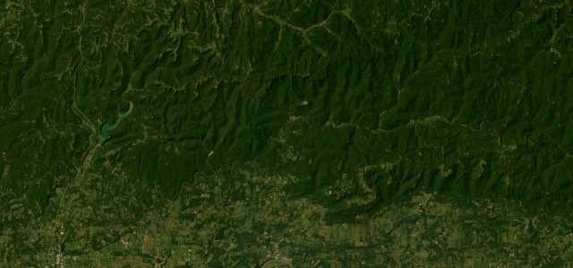
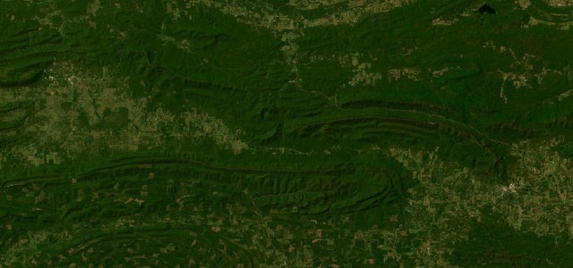
The Ozark stretch of Arkansas Scenic 7 runs 47 miles from Pelsor through the Ozark National Forest, twists beside the Grand Canyon of the Ozarks to Jasper, crosses the Buffalo National River and ends at Harrison.
This section of AR 7 starts at Pelsor, at the junction with AR 16, and shares the road with AR 16 through the Ozark National Forest until AR 7 breaks away north towards Jasper. The state tourism site says the road sharply twists as it wends its way beside the vista known as the Grand Canyon of the Ozarks, right before it reaches the small town square of Jasper, with a roadside scenic point about three miles south of the square. North of Jasper, AR 7 crosses the Buffalo National River at Pruitt, passes Mystic Caverns and rolls across rural country to Harrison. Harrison is the official northern end of Scenic 7 Byway, with a historic district anchored by the 1909 Boone County Courthouse and the restored 1929 Hotel Seville. Wikipedia calls AR 7, Arkansas’s longest state highway at about 297 miles, the route favoured by motorcycle riders touring the region.
Scenery
Best seasons
In these collections
Scenic 7 Byway, Pelsor to Harrison on the map47.4 mi · point to point
Navigate to the start: Apple Maps · Google Maps
Character
Corners
busiest around mile 30Elevation
under 4%4 to 8%over 8%247 to 693 mPoints of interest5 stops
- South Gap Scenic PointRoadside scenic point south of Jasper with a view over the Arkansas Grand Canyon.26 mi in
- JasperSmall mountain town square where riders stop, with the Blue Mountain Bakery on its south-west corner.28 mi in
- Pruitt Landing River Access PointAccess to the Buffalo National River beside the AR 7 crossing at Pruitt, where people float in canoes.34 mi in
- Mystic CavernsTwo large caves with rock formations, including one that resembles a giant pipe organ.39 mi in
- Boone County CourthouseThe 1909 courthouse on Harrison’s square, anchor of the downtown historic district.47 mi in
Hazards
- Sharp twists beside the Grand Canyon of the Ozarks before Jasper
- Deer and other wildlife after dark
- Popular with motorcyclists, so expect bikes on the bends
- Slides after heavy rain south of Jasper, as in the 2015 floods
Sources
“Popular with motorcyclists, this section of the route sharply twists, particularly as it wends its way beside the incredible vista known as the “Grand Canyon of the Ozarks” right before it reaches the small town square of Jasper.”
“This is among the best of motorcycle roads in all of Arkansas. Plenty of twists and turns, hills and valleys to keep you leaning and grinning.”
“Renowned for its winding pavement and gorgeous scenery.”
Route traced from OpenStreetMap, with its stats measured from that line. How the roads are mapped
Driving the Scenic 7 Byway, Pelsor to Harrison: quick answers
How long does it take to drive the Scenic 7 Byway, Pelsor to Harrison?
How difficult is the Scenic 7 Byway, Pelsor to Harrison to drive?
When is the best time to drive the Scenic 7 Byway, Pelsor to Harrison?
Nearby roads
The closest great drives to Scenic 7 Byway, Pelsor to Harrison.