Arkansas · United States
Pig Trail Scenic Byway
AR 23Ozark to Brashears
AR 23 winds north from the I-40 interchange at Ozark through the Ozark National Forest to Brashears, crossing the Mulberry River at Turner Bend on steep grades and hairpins, a National Forest Scenic Byway since 1989.
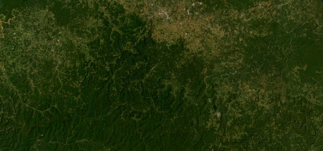
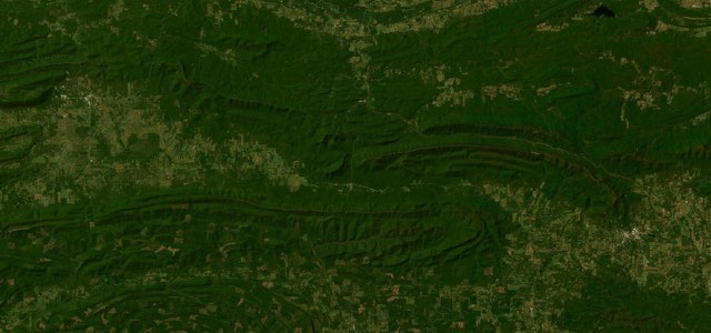
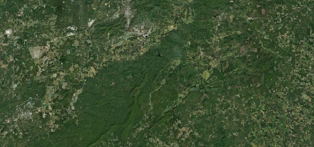
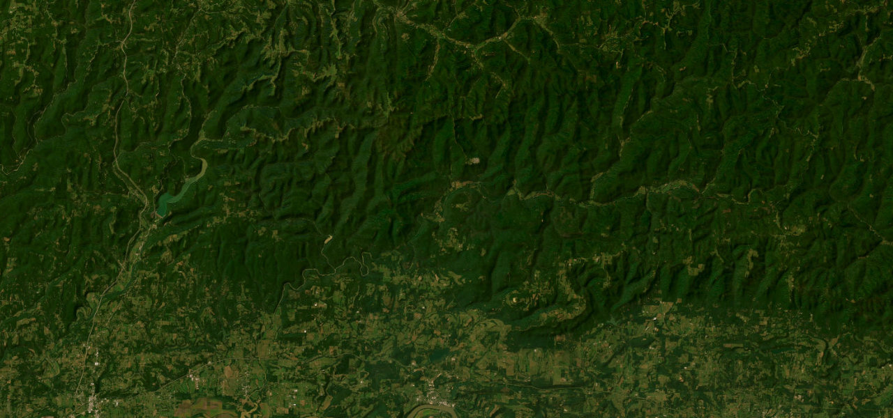
AR 23 leaves the I-40 interchange north of Ozark and runs into the Ozark National Forest, in the heart of the Boston Mountains. It passes White Oak, crosses the Mulberry River at Turner Bend, where the store has been open since 1911, and reaches Cass, where AR 215 branches off towards Oark and the Redding Recreation Area. Further north it passes Mulberry Mountain, a 650-acre lodge and event centre, before the byway ends at Brashears, where AR 16 joins AR 23. The signed byway through the national forest is usually given as 19 miles, and the whole run from I-40 to Brashears measures about 24 miles. University of Arkansas students took the Pig Trail to Little Rock before I-40 was fully open in 1975, and the road has stayed narrow, shaded and twisting.
Pig Trail Scenic Byway on the map24.5 mi · point to point
Navigate to the start: Apple Maps · Google Maps
Character
Corners
busiest around mile 15Elevation
under 4%4 to 8%over 8%148 to 596 mPoints of interest3 stops
- Pig Trail FallsWaterfall that Dairyland’s route guide suggests for a hike and photo stop.9.9 mi in
- Turner Bend StoreStore, deli and canoe outfitter on the Mulberry River, open since 1911.12 mi in
- Mulberry Mountain650-acre lodge and event centre that hosts the Wakarusa music festival in early summer.16 mi in
Hazards
- Sharp curves and steep grades with advisory speed signs
- Busiest with motorcycles and visitors in autumn
- Wildlife, gravel and fallen limbs, especially after storms
- Slippery surface in rain and fog
- Sparse services in the forest, fuel up first
Sources
“Motorcycle magazines have called attention to the Pig Trail as a fitting excursion for those who want to combine the picturesque and the sublime.”
“The mountainous terrain creates a challenging ride, but it’s widely regarded as one of the best in the country.”
“Named for the many steep inclines and sharp curves, the Pig Trail may be likened to riding a rollercoaster.”
Route traced from OpenStreetMap, with its stats measured from that line. How the roads are mapped
Driving the Pig Trail Scenic Byway: quick answers
How long does it take to drive the Pig Trail Scenic Byway?
How difficult is the Pig Trail Scenic Byway to drive?
When is the best time to drive the Pig Trail Scenic Byway?
Nearby roads
The closest great drives to Pig Trail Scenic Byway.