Texas · United States
Twisted Sisters
RM 336RM 335RM 337Loop from Leakey
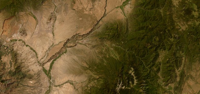
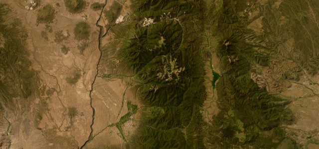
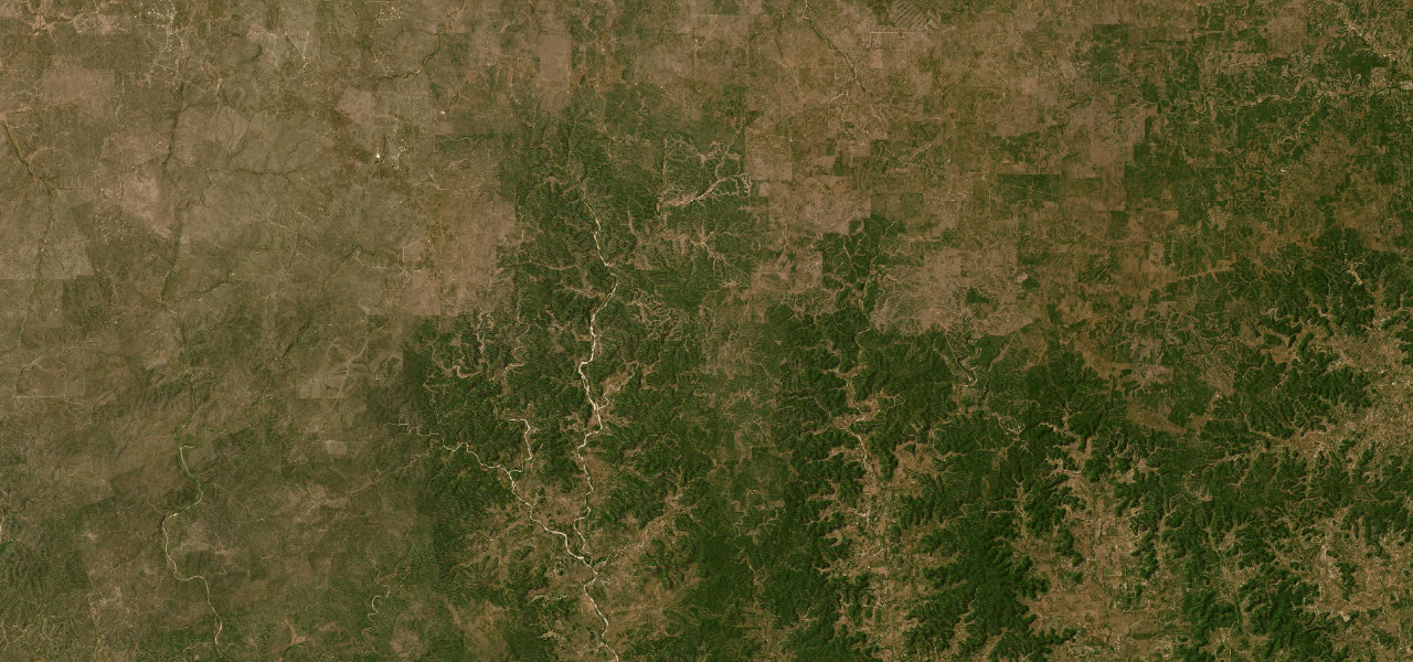
A loop of about 95 miles from Leakey, taking RM 336, TX 41, RM 335 and RM 337 through Texas Hill Country ridgelines and canyons, with tight bends, sheer drop-offs and little guardrail.
From Leakey, the county seat of Real County, the loop runs a short way north on US 83 and forks onto RM 336, which follows the West Frio River and then climbs narrow ridgelines for about 12 miles before flattening onto a plateau. RM 336 ends at TX 41, where you turn west for 14 mostly straight miles to the northern end of RM 335. RM 335 drops into tight, folded country, then follows the curves of Hackberry Creek through Hackberry and Vance for nearly 30 miles to Barksdale. A few miles south on TX 55 is Camp Wood, where the site of the Spanish mission of San Lorenzo is marked, and RM 337 turns east with wide, graceful curves and a roller coaster of hillcrests back towards Leakey, passing the Frio Canyon Motorcycle Stop just before town. Riders who start from Medina add the eastern half of RM 337 through Vanderpool and ride about 170 miles in all.
Twisted Sisters on the map95.4 mi · loop
Navigate to the start: Apple Maps · Google Maps
Character
Corners
busiest around mile 83Elevation
under 4%4 to 8%over 8%440 to 732 mPoints of interest4 stops
- Chicken Coop GrillRestaurant on TX 55 in Barksdale, where RM 335 comes in from the north.70 mi in
- Canyon BBQ and GrillBarbecue restaurant in Camp Wood, beside the TX 55 and RM 337 junction.74 mi in
- Mission San LorenzoSite of a Franciscan mission founded in 1762 for the Lipan Apache and abandoned by 1768, with signs and exhibits in Camp Wood.74 mi in
- Frio Canyon Motorcycle StopRiders’ stop and grill on RM 337 just west of Leakey, sold as the official headquarters for the Three Twisted Sisters.95 mi in
Hazards
- Whitetail deer on and beside the road
- Unfenced cattle and slow ranch vehicles
- Sheer drop-offs with little guardrail
- Few fuel stops, fill up in Leakey first
- Loose gravel on the road surface
- Busy with motorcyclists and tourists stopping suddenly
Sources
“The box-shaped section of the Twisted Sisters west and north of the town of Leakey is commonly referred to as the 100-mile loop.”
“Three Hill Country Ranch Roads, 335, 336 and 337, are known throughout Texas as the Twisted Sisters, and riders come from near and far to enjoy them.”
“This 100-mile loop is, without a doubt, among the best, most challenging motorcycle roads in the state.”
Route traced from OpenStreetMap, with its stats measured from that line. How the roads are mapped
Driving the Twisted Sisters: quick answers
How long does it take to drive the Twisted Sisters?
How difficult is the Twisted Sisters to drive?
When is the best time to drive the Twisted Sisters?
Nearby roads
The closest great drives to Twisted Sisters.