New Mexico · United States
Enchanted Circle Scenic Byway
US 64NM 522NM 38Loop from Taos
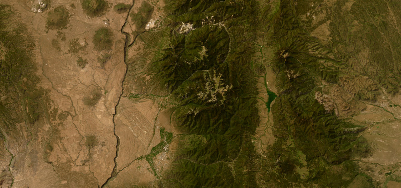
An 84-mile loop from Taos around Wheeler Peak, New Mexico’s highest mountain, running north to Questa, up the Red River valley and over Bobcat Pass, then back over Palo Flechado Pass and down Taos Canyon.
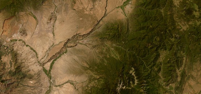
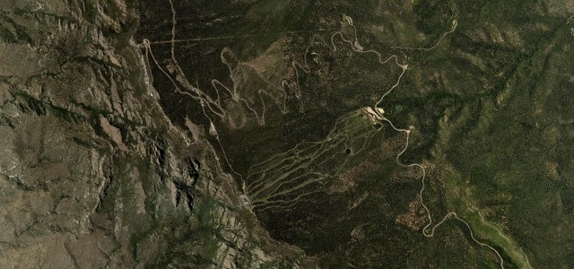
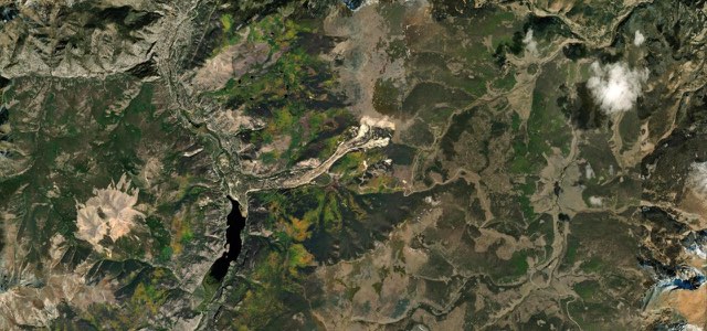
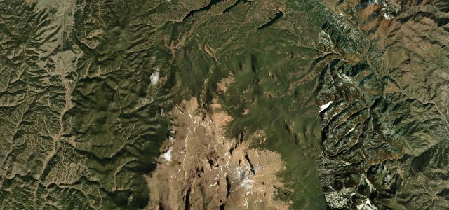
From Taos Plaza the loop heads north on US 64 and NM 522 past Arroyo Hondo, nine miles out, to Questa, the way most riders go for views of the Rio Grande del Norte National Monument. At Questa NM 38 turns east up the narrow valley of the Red River to the old mining town of Red River; if oncoming drivers flash their lights here, there are probably bighorn sheep on the road. Beyond the town the road twists up to Bobcat Pass, at nearly 3,000 m the highest pass in New Mexico, and descends into the high Moreno Valley at Eagle Nest. US 64 then runs south down the valley past the Vietnam Veterans Memorial at Angel Fire, climbs west over Palo Flechado Pass, 2,774 m, and follows the canyon of the Rio Fernando de Taos back into town on Kit Carson Road. The pavement on US 64 between Angel Fire and Valle Escondido is uneven and cracked, and fuel is scarce once you leave Taos.
Enchanted Circle Scenic Byway on the map84.2 mi · loop
Navigate to the start: Apple Maps · Google Maps
Character
Higher than 9 in 10 roads in the catalogue.
Corners
busiest around mile 64Elevation
under 4%4 to 8%over 8%2,074 to 2,997 mPoints of interest4 stops
- Texas Red’sSteakhouse in Red River, the old mining town on NM 38.37 mi in
- Bobcat PassHighest mountain pass in New Mexico, on NM 38 between Red River and Eagle Nest.41 mi in
- Vietnam Veterans MemorialBegun by Victor and Jeanne Westphall for their son David, killed in Vietnam in 1968, at the south end of the Moreno Valley.63 mi in
- Palo Flechado Pass2,774 m pass on US 64 west of Angel Fire, before the descent through Taos Canyon.66 mi in
Hazards
- Bighorn sheep on NM 38 in the Red River valley
- Elk around Bobcat Pass in the evening
- Uneven, cracked pavement on US 64 between Angel Fire and Valle Escondido
- Few fuel stops once you leave Taos
Sources
“As a motorcycle enthusiast, you may first think of the state’s riding opportunities. On top of that list? The Enchanted Circle Scenic Byway.”
“This route twists its way up to Bobcat Pass, which at 9,820 feet elevation, is the highest mountain pass in New Mexico.”
“The route then runs through Bobcat Pass and descends into the high alpine Moreno Valley, bounded by some of the most spectacular peaks in New Mexico.”
Route traced from OpenStreetMap, with its stats measured from that line. How the roads are mapped
Driving the Enchanted Circle Scenic Byway: quick answers
How long does it take to drive the Enchanted Circle Scenic Byway?
How difficult is the Enchanted Circle Scenic Byway to drive?
When is the best time to drive the Enchanted Circle Scenic Byway?
Nearby roads
The closest great drives to Enchanted Circle Scenic Byway.