New Mexico · United States
High Road to Taos
NM 76NM 75NM 518Chimayó to Ranchos de Taos
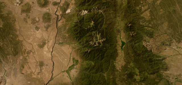
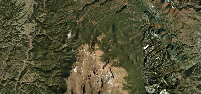
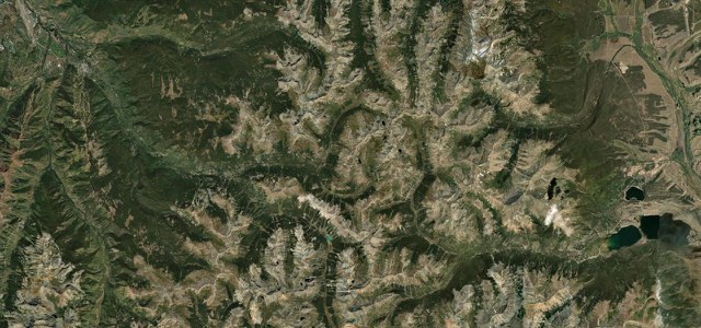
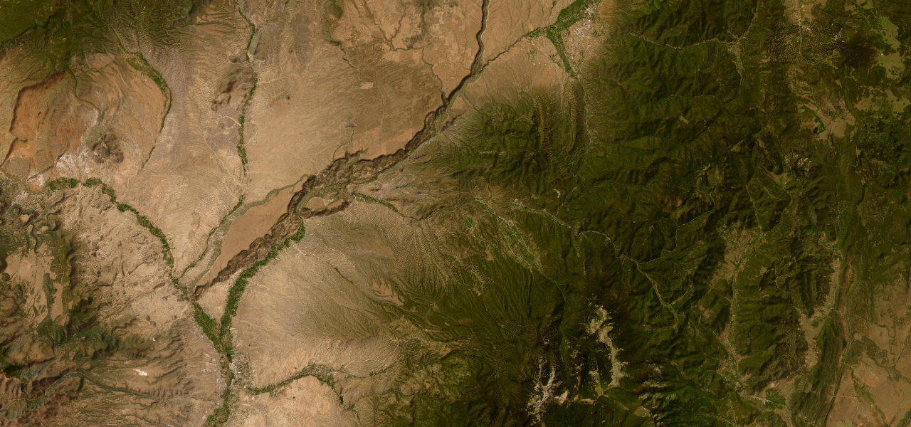
NM 76, NM 75 and NM 518 climb from Chimayó through the Spanish villages of Truchas and Las Trampas, over 8,700 feet in the Sangre de Cristo Mountains, then run by Peñasco and Talpa down to Ranchos de Taos.
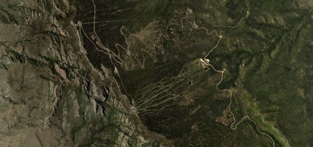
From Chimayó, in its farming valley, NM 76 begins the climb into the Sangre de Cristo Mountains, passing Córdova and reaching the high mesa village of Truchas, backed by the snow-capped Truchas Peaks. It runs on through Ojo Sarco and Las Trampas, where the San José de Gracia Church was completed in 1776, and on through the Carson National Forest to Chamisal. At a stop sign NM 76 ends and the High Road turns right onto NM 75, past the turn for Picurís Pueblo, to Peñasco and Vadito. At the stone wall intersection it turns left onto NM 518, which climbs U.S. Hill through the Carson National Forest, passes Talpa, the last High Road village, and ends at Ranchos de Taos and the church of San Francisco de Asís. The road climbs above 8,700 feet with sweeping curves among tall pines, and sand and gravel can wash across the bends after rain.
High Road to Taos on the map45.0 mi · point to point
Navigate to the start: Apple Maps · Google Maps
Character
Corners
busiest around mile 29Elevation
under 4%4 to 8%over 8%1,851 to 2,609 mPoints of interest6 stops
- Rancho de ChimayoRestaurant in a historic adobe building, just south of NM 76 near the start of the climb.1.0 mi in
- Nuestra Señora del Rosario ChurchHistoric church in Truchas, a village on a high mesa below the snow-capped Truchas Peaks.9.0 mi in
- San José de Gracia Catholic ChurchChurch at Las Trampas completed in 1776, a National Historic Landmark.17 mi in
- Sugar Nymph’s BistroBistro in Peñasco, the town on the route with cafes and fuel.24 mi in
- U.S. Hill pulloutPullout on NM 518 high in the Carson National Forest, described as worth the effort by the Taos News.33 mi in
- San Francisco de Asis ChurchChurch at the heart of the Ranchos de Taos plaza, where the route ends, with an intricately carved altar.45 mi in
Hazards
- Sand and gravel washed across the road on curves after rain
- Afternoon thunderstorms are common in the warmer months, and it gets cooler with elevation
- Narrow, winding sections through the Carson National Forest
- Few services between Chimayó and Peñasco
Sources
“The High Road to Taos Scenic Byway is one of New Mexico’s most scenic drives, winding through the Sangre de Cristo Mountains with sweeping views, historic villages, and deep cultural roots.”
“Bear east on State Road 518 to Talpa and climb 10 miles up U.S. Hill through the dense Carson National Forest (the U.S. Hill pullout is worth the effort, either on the way up or back).”
“From Taos heading south there will be plenty of tall pines with sweeping curves, hills and valleys along with small communities, art galleries, wineries, as you approach the community of Truchas, NM.”
Route traced from OpenStreetMap, with its stats measured from that line. How the roads are mapped
Driving the High Road to Taos: quick answers
How long does it take to drive the High Road to Taos?
How difficult is the High Road to Taos to drive?
When is the best time to drive the High Road to Taos?
Nearby roads
The closest great drives to High Road to Taos.