Alabama · United States
Talladega Scenic Drive
AL 281Heflin to Adams Gap
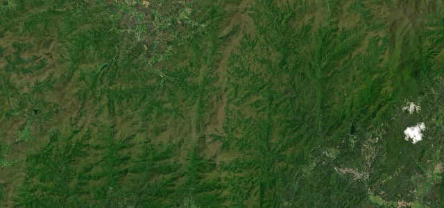
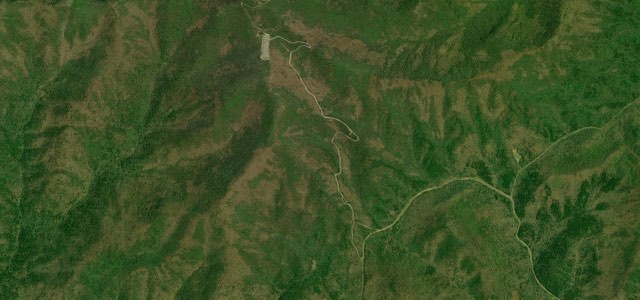
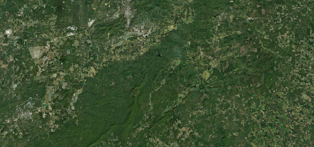
AL 281 follows the crest of the Talladega Mountains for about 26 miles, from US 78 near Heflin past Cheaha Mountain, the highest point in Alabama, to a dead end where the pavement stops at a forest road.
AL 281 leaves US 78 and AL 9 west of Heflin by an access road and winds south onto Horseblock Mountain, gaining about 200 feet to the first of several scenic overlooks. It passes over I-20 and over US 431 near Five Points without meeting either, then winds about 11 miles southwest to Cheaha State Park, climbing around 400 feet in the four miles after the County Road 24 underpass at Abel Gap. The park stands on Cheaha Mountain, the highest point in Alabama at 2,405 feet, and AL 49 comes in from the south there. Around the park the road runs through horseshoe curves and S-curves, with slower switchbacks and bends that tighten. South of the park it is much quieter, running along the west side of the mountains to the end of the road, where the pavement stops at Adams Gap Road and a forest road.
Talladega Scenic Drive on the map26.5 mi · point to point
Navigate to the start: Apple Maps · Google Maps
Character
Corners
busiest around mile 1Elevation
under 4%4 to 8%over 8%298 to 639 mPoints of interest4 stops
- Scenic OverlookRoadside overlook on AL 281, mapped about 9 miles south of US 78 and facing north.8.8 mi in
- Cheaha Pinhoti TrailheadTrailhead parking beside AL 281 for the Pinhoti National Recreation Trail, which runs 335 miles through the southern Appalachians.19 mi in
- Restaurant OverlookViewpoint in Cheaha State Park facing west, about 200 metres from the road.20 mi in
- Highest Point in AlabamaSummit of Cheaha Mountain at 2,405 feet, a short drive from AL 281 inside the park.19 mi in
Hazards
- Horseshoe curves and S-curves near Cheaha State Park
- Slower switchbacks and bends that tighten
- Very little traffic on the dead-end stretch south of the park
- Deer and other wildlife on the road
- The pavement ends at a forest road, so you turn round there
Sources
“The Talladega Scenic Drive offers a bird’s-eye view of Alabama as it winds through the Talladega National Forest along the southern Appalachian Mountains.”
“Route 281 sweeps along the back of Cheaha Mountain at a blistering pace. There are several slower switchbacks and decreasing radius turns that will make even the most experienced motorcyclist grin from ear to ear.”
“SR 281 navigates through a series of horse shoe and S-curves on the northern drive out from Cheaha State Park to SR 49.”
Route traced from OpenStreetMap, with its stats measured from that line. How the roads are mapped
Driving the Talladega Scenic Drive: quick answers
How long does it take to drive the Talladega Scenic Drive?
How difficult is the Talladega Scenic Drive to drive?
When is the best time to drive the Talladega Scenic Drive?
Nearby roads
The closest great drives to Talladega Scenic Drive.