Georgia · United States
Richard B. Russell Scenic Highway
GA 348Helen to Choestoe
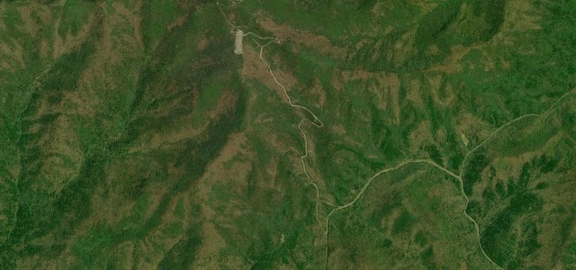
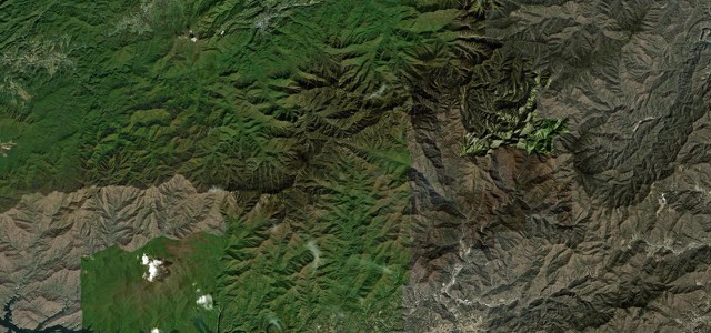
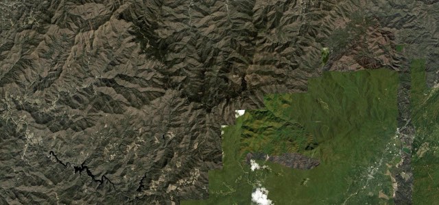
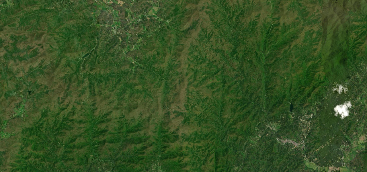
GA 348 climbs about 14 miles through the Chattahoochee National Forest from near Helen over Hogpen Gap, where the Appalachian Trail crosses, to Choestoe, with tighter bends and overlooks in the south and gentler sweepers in the north.
GA 348 starts at GA 75 Alternate, less than four miles from Helen, and climbs into the Chattahoochee National Forest, with the trailheads for Dukes Creek Falls and Raven Cliff Falls within the first few miles. The southern part has the tighter corners and several scenic overlooks before the road reaches Hogpen Gap, where the Appalachian Trail crosses it. Past the gap the road winds down the north side of the mountain and becomes a mix of gentle curves and sweepers, ending at its junction with GA 180 at Choestoe. It is a two-lane road with blind spots, steep inclines and fast declines, shared with cyclists and motorcyclists, and with no shoulder on the climb from Helen. The Richard B. Russell Scenic Highway is the whole of GA 348 and forms part of the 40-mile Russell-Brasstown Scenic Byway, a National Scenic Byway since 2000.
Scenery
Best seasons
In these collections
Richard B. Russell Scenic Highway on the map13.9 mi · point to point
Navigate to the start: Apple Maps · Google Maps
Character
Corners
busiest around mile 3Elevation
under 4%4 to 8%over 8%480 to 1,058 mPoints of interest4 stops
- Dukes Creek Falls TrailheadStart of the two-mile round trip walk to the base of Dukes Creek Falls.1.6 mi in
- Raven Cliffs TrailheadTrailhead for the longer walk to Raven Cliff Falls, about five miles round trip.2.6 mi in
- Hogpen GapRoadside parking where the Appalachian Trail crosses GA 348, a picnic stop that is busy with hikers in spring.7.1 mi in
- Tesnatee GapSecond gap on the crest, a short way past Hogpen Gap on the road down to the north.7.6 mi in
Hazards
- Often closed after snow and ice
- Blind spots, steep inclines and fast declines
- Heavy cyclist and motorcycle traffic in warm weather
- No shoulder on the climb from Helen
- Busy with Appalachian Trail hikers at Hogpen Gap, especially in spring
- Steep, narrow road that OpenStreetMap tags as discouraged for heavy trucks
See the typical season and live conditions for the high passes ›
Sources
“The northern part of SR-348 is a mix of gentle curves and sweepers, while the southern part has tighter corners and several scenic overlooks.”
“Surrounded by the beauty of the Chattahoochee National Forest, this scenic route encircles the headwaters of the Chattahoochee River as it winds through the southern Appalachian Mountains.”
“Blind spots, steep inclines, and fast declines make up the majority of these trips and particularly the one we’re going to cover today, the Richard B. Russell Scenic Highway.”
Route traced from OpenStreetMap, with its stats measured from that line. How the roads are mapped
Driving the Richard B. Russell Scenic Highway: quick answers
How long does it take to drive the Richard B. Russell Scenic Highway?
How difficult is the Richard B. Russell Scenic Highway to drive?
When is the best time to drive the Richard B. Russell Scenic Highway?
Nearby roads
The closest great drives to Richard B. Russell Scenic Highway.