Wisconsin · United States
Great River Road, Prescott to Fountain City
WI 35Prescott to Fountain City
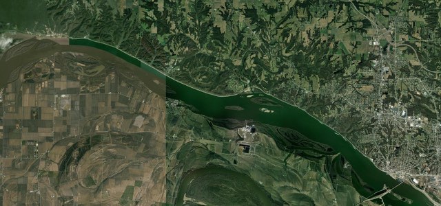
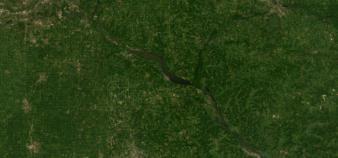
WI 35 follows the Mississippi from Prescott past Lake Pepin, Maiden Rock, Stockholm, Pepin and Alma to Fountain City, with tall bluffs on one side and the river on the other.
From Jefferson Street in Prescott, at the confluence of the St. Croix and Mississippi rivers, WI 35 heads south-east through Diamond Bluff and past Hager City to Bay City, where Lake Pepin begins. It then runs along the Wisconsin shore of the lake, which is 22 miles long and up to 2 miles wide, through Maiden Rock, named for the cliff just south of the village, and Stockholm, founded in 1854 by Swedish immigrants. Pepin follows, home to the Laura Ingalls Wilder Museum, and after the Chippewa River crossing the road reaches Nelson, where WI 25 crosses the Mississippi to Wabasha, Minnesota. At Alma, Lock and Dam No. 4 is a major nesting ground for bald eagles that can be watched from the riverbank, and the road continues through Cochrane and past the entrance to Merrick State Park into Fountain City. It ends at the junction with WI 95 on the north side of Fountain City, where the river runs right at the base of the bluffs and the town is in places only two houses wide. Riders describe long sweepers rather than a technical road, and the 25 mph zones in Stockholm and Pepin are strictly enforced.
Scenery
Best seasons
In these collections
Great River Road, Prescott to Fountain City on the map77.3 mi · point to point
Navigate to the start: Apple Maps · Google Maps
Character
Corners
busiest around mile 52Elevation
under 4%4 to 8%over 8%201 to 347 mPoints of interest6 stops
- Maiden RockCliff just south of Maiden Rock village, with a plaque near its base recalling the legend behind the name.36 mi in
- StockholmVillage on Lake Pepin founded in 1854 by Swedish immigrants.38 mi in
- Laura Ingalls Wilder MuseumMuseum in Pepin, in the area where the author was born.45 mi in
- Lock and Dam No. 4Major bald eagle nesting ground, watched from the riverbank in Alma.60 mi in
- Castlerock MuseumArms and armour from Roman times to the Middle Ages, in Alma.61 mi in
- Merrick State ParkState park up Fountain City Bay, entered about two miles north-west of Fountain City.75 mi in
Hazards
- Strictly enforced 25 mph zones in Stockholm and Pepin
- Single-lane signals at the Waumandee Creek bridge near Fountain City until late October 2026
- Bridge expansion joints that can jar a stiff suspension
- Short flood-prevention closures in Fountain City when the river is high
See the typical season and live conditions for the high passes ›
Sources
“The Wisconsin Great River Road, designated as an All-American Road, parallels the Mississippi River for 250 miles from Prescott in the north to Kieler in the south.”
“Among the state’s top scenic motorcycle tours in fall is the Great River Road. This National Scenic Byway follows Wisconsin’s western border for 250 miles from Prescott to Potosi on Hwy. 35.”
“The road is full of long, rhythmic sweepers that allow you to maintain a steady pace while soaking in the views.”
Route traced from OpenStreetMap, with its stats measured from that line. How the roads are mapped
Driving the Great River Road, Prescott to Fountain City: quick answers
How long does it take to drive the Great River Road, Prescott to Fountain City?
How difficult is the Great River Road, Prescott to Fountain City to drive?
When is the best time to drive the Great River Road, Prescott to Fountain City?
Nearby roads
The closest great drives to Great River Road, Prescott to Fountain City.