Auvergne-Rhône-Alpes · France
Col de l'Iseran
D902La Daille to Bonneval-sur-Arc
The highest paved mountain pass in the Alps, at 2,764 m.
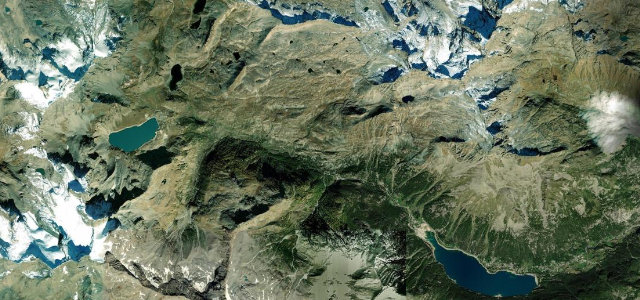
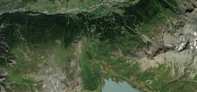
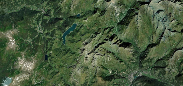
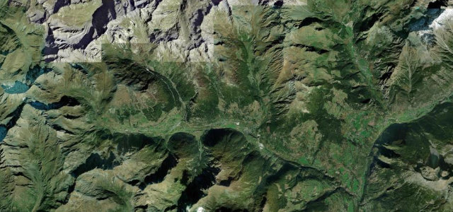
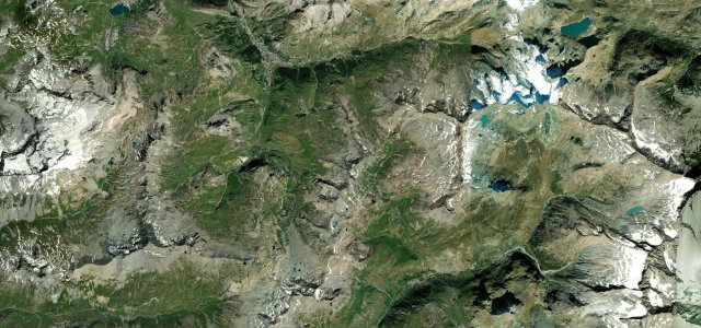
The D902 over the Col de l’Iseran links Val-d’Isère with Bonneval-sur-Arc across the highest paved pass in the Alps, climbing through bare, glacier-scoured high country to the cross at the summit. Open only in the warmer months; mind the altitude, the abrupt weather, and cyclists on the long climbs.
It climbs through bare scree into a thin, blue-edged sky, but the descent is the reward we come back for: long, rhythmic sweepers and glaciers glinting.
Why we picked it
Scenery
Best seasons
In these collections
In these Grand Tours
In these guides
Where it runs18.2 mi · point to point
Navigate to the start: Apple Maps · Google Maps
Character
The highest road in France, by our count in the catalogue.
Corners
busiest around mile 10Elevation
under 4%4–8%over 8%1,785.3 – 2,757 mFrom the road
Points of interest3 stops
- Col de l’IseranViewpoint9.9 mi in
- Tête de l’ArollayViewpoint7.8 mi in
- Pierre Blanc dit Le PapeLandmark18 mi in
Hazards
- High altitude and thin air
- Sudden alpine weather
- Cyclists on the climbs
Sources
“Known as the King of the Alps and the holy grail for many motorcycle and bike tourers.”
Verified route: mapped from real road geometry and fact-checked by a human editor. How roads get checked
Driving the Col de l'Iseran: quick answers
How long does it take to drive the Col de l'Iseran?
How difficult is the Col de l'Iseran to drive?
When is the best time to drive the Col de l'Iseran?
Nearby roads
The closest great drives to Col de l'Iseran.