Hautes-Alpes / Piedmont · France
Col de l'Échelle
D1TNévache to Bardonecchia
A narrow, tranquil forest crossing from the wild Claree valley into Italy, the quiet cult alternative to the busy Montgenevre.
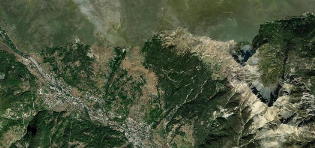
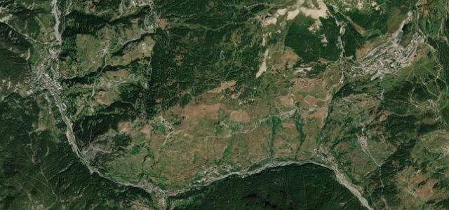
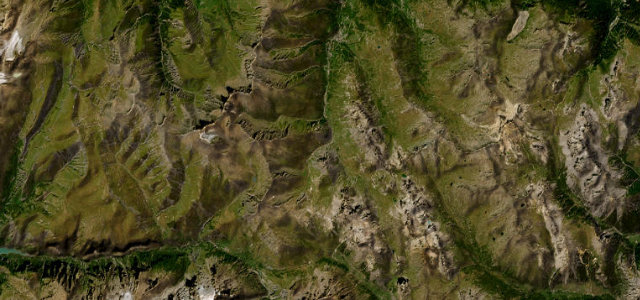
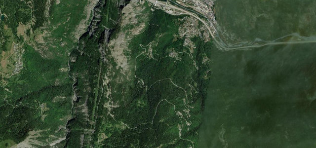
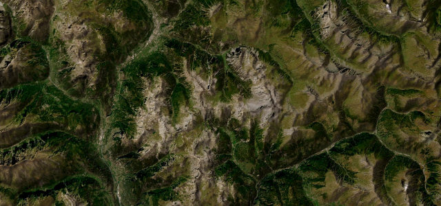
The D1T climbs from the unspoilt Claree valley near Nevache to the 1,762 m Col de l’Echelle, the lowest pass on the Franco-Italian frontier, then drops in a tight twist of hairpins through larch forest to Bardonecchia in Italy. It is a single-track, lightly trafficked road, deeply atmospheric and a cult favourite for those who prefer charm and solitude over scale. The narrowness and the steep wooded Italian descent are the defining features. Mind the genuinely single-track width with very limited passing places, the tight steep hairpins on the Italian side that can be restricted to light vehicles, and snow closure through winter and into spring.
Where it runs5.5 mi · point to point
Navigate to the start: Apple Maps · Google Maps
Character
Corners
busiest around mile 5Elevation
under 4%4–8%over 8%1,493.2 – 1,798.4 mFrom the road
Points of interest3 stops
- Le Mauvais PasViewpoint3.0 mi in
- Col de l'ÉchelleViewpoint1.6 mi in
- Stèle commémorative au bataillon Berthier, aux 99e RIA et 93e RAMLandmark1.1 mi in
Hazards
- Single-track width with very limited passing places
- Tight steep Italian hairpins, often light-vehicle only
- Closed by snow through winter and into spring
Is Col de l'Échelle open? Typical season and live summit weather ›
Sources
“The route offers pleasant scenery as it ascends to the pass, boasting impressive views from the higher Italian side.”
Verified route: mapped from real road geometry and fact-checked by a human editor. How roads get checked
Driving the Col de l'Échelle: quick answers
How long does it take to drive the Col de l'Échelle?
How difficult is the Col de l'Échelle to drive?
When is the best time to drive the Col de l'Échelle?
Nearby roads
The closest great drives to Col de l'Échelle.