Piedmont · Italy
Colle del Sestriere
SP23Cesana Torinese to Sestriere
A wide, fast Piedmontese climb to the chocolate-box ski resort of Sestriere, woven into Tour and Giro folklore.
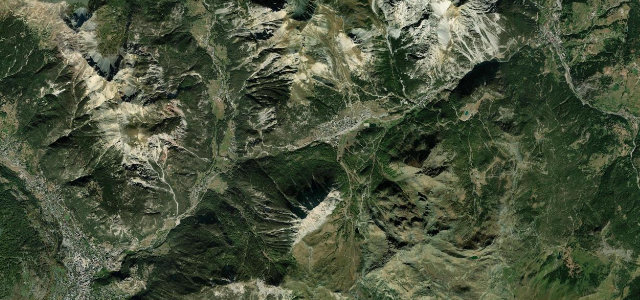
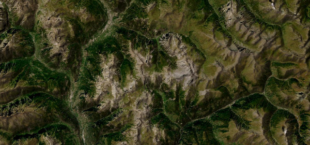
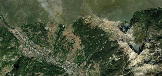
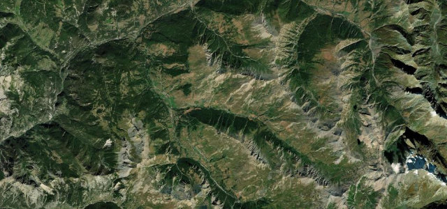
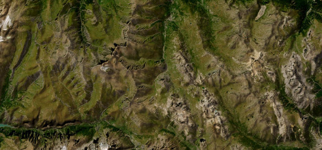
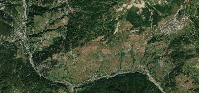
The SP23 climbs from Cesana Torinese in the Val di Susa up to the resort village of Sestriere at around 2,035 m, set among pine-studded meadows and the peaks of the Milky Way ski area. It is a broad, well-surfaced road with flowing curves rather than tight technical hairpins, making for a relaxed high-speed alpine drive with very open views. The col is steeped in cycling history, the canvas for Fausto Coppi’s 1949 Giro exploits and a recurring Tour de France summit. The resort itself can be busy. Mind sudden alpine weather and cloud at altitude, mixed traffic around the ski village in season, and stretches that tempt excess speed on the wide open bends.
Scenery
Best seasons
In these collections
In these guides
Where it runs6.8 mi · point to point
Navigate to the start: Apple Maps · Google Maps
Character
Corners
busiest around mile 1Elevation
under 4%4–8%over 8%1,346 – 2,029.6 mFrom the road
Points of interest3 stops
- Don Giuseppe Giaj MiniettiLandmark6.8 mi in
- Monte CrouzoreViewpoint2.2 mi in
- AgriturismoLandmark5.4 mi in
Hazards
- Sudden alpine weather and cloud at altitude
- Mixed resort traffic in ski season
- Wide bends that tempt excess speed
Sources
“It is a very pleasant route, featuring many turns and generally good road conditions.”
Verified route: mapped from real road geometry and fact-checked by a human editor. How roads get checked
Driving the Colle del Sestriere: quick answers
How long does it take to drive the Colle del Sestriere?
How difficult is the Colle del Sestriere to drive?
When is the best time to drive the Colle del Sestriere?
Nearby roads
The closest great drives to Colle del Sestriere.