Provence-Alpes-Côte d'Azur · France
Col du Galibier
D902Villar-d’Arêne to Valloire
A Tour de France giant on the Route des Grandes Alpes.
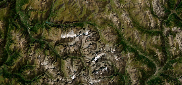
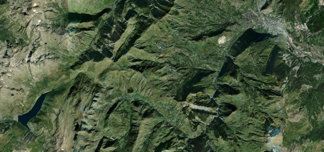
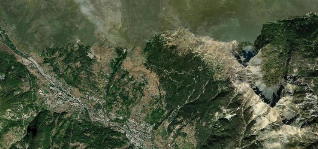
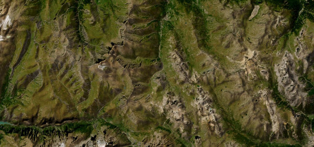
The Galibier climbs above 2,600 m on the great Route des Grandes Alpes, a road of long ramps and sweeping curves with the bare high peaks all around. Steeped in cycling legend, it is open and fast at the top, mind the cyclists on the climb and the chill that bites even in midsummer.
A giant of the Alps and the Tour. The view from the summit is your reward for the climb.
Why we picked it
Scenery
Best seasons
In these collections
In these Grand Tours
Where it runs16.7 mi · point to point
Navigate to the start: Apple Maps · Google Maps
Character
Corners
busiest around mile 5Elevation
approximateunder 4%4–8%over 8%1,405.3 – 2,637.3 mFrom the road
Points of interest3 stops
- Col du LautaretViewpointat the start
- Monument Henri-DesgrangeLandmark4.7 mi in
- Memorial Marco PantaniLandmark8.0 mi in
Hazards
- Many cyclists on the climb
- Exposed, cold summit
- Closed in winter
Is Col du Galibier open? Typical season and live summit weather ›
Sources
“The legendary road to the summit is one of the most impressive climbs in the country.”
Verified route: mapped from real road geometry and fact-checked by a human editor. How roads get checked
Driving the Col du Galibier: quick answers
How long does it take to drive the Col du Galibier?
How difficult is the Col du Galibier to drive?
When is the best time to drive the Col du Galibier?
Nearby roads
The closest great drives to Col du Galibier.