Hautes-Alpes / Piedmont · France
Col de Montgenèvre
N94Briançon to Cesana Torinese
One of the lowest and oldest Franco-Italian Alpine crossings, a historic Roman and Napoleonic route from Briancon into Piedmont.
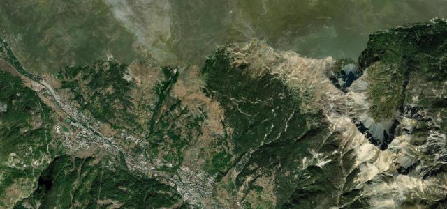
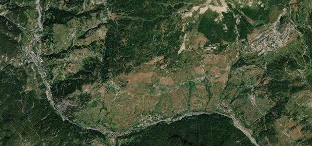
The N94 climbs steadily from Briancon to the 1,854 m Col de Montgenevre, the lowest crossing of the main Alpine chain and a passage used since Roman times on the Via Domitia, later rebuilt under Napoleon. It crosses through the Montgenevre ski village at the watershed then descends to Cesana Torinese in Italy. This is a broad, fast, well-engineered road with sweeping curves rather than tight hairpins, more a grand strategic highway than a technical pass, with mountain panoramas throughout. Being a primary border route it carries real traffic. Mind heavy through-traffic and lorries as a year-round border crossing, the ski-resort congestion at the summit in winter, and fast-moving traffic on the open sweepers.
Scenery
Best seasons
In these collections
In these guides
Where it runs12.8 mi · point to point
Navigate to the start: Apple Maps · Google Maps
Character
Corners
busiest around mile 4Elevation
approximateunder 4%4–8%over 8%1,286.3 – 1,971.6 mFrom the road
Points of interest3 stops
- Col de Montgenèvre – Colle del MonginevroViewpoint7.4 mi in
- Pierre TermierLandmark0.2 mi in
- Belvédère Panoramique Montgenèvre-ClaréeViewpoint5.5 mi in
Hazards
- Heavy year-round border through-traffic and lorries
- Ski-resort congestion at the summit in winter
- Fast traffic on open sweeping bends
Sources
“you will enjoy an exceptional panorama of the surrounding peaks, both French and Italian.”
Verified route: mapped from real road geometry and fact-checked by a human editor. How roads get checked
Driving the Col de Montgenèvre: quick answers
How long does it take to drive the Col de Montgenèvre?
How difficult is the Col de Montgenèvre to drive?
When is the best time to drive the Col de Montgenèvre?
Nearby roads
The closest great drives to Col de Montgenèvre.