Provence-Alpes-Côte d'Azur · France
Col Agnel
D205TSP251Château-Ville-Vieille to Molines-en-Queyras
Tarmac all the way to 2,744 m on the French-Italian border west of Monte Viso, narrow in its upper reaches and closed by snow for much of the year.
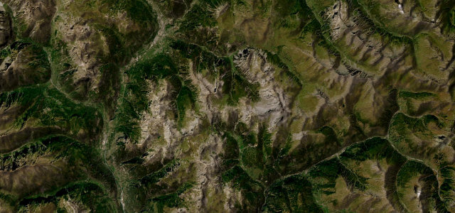
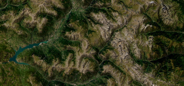
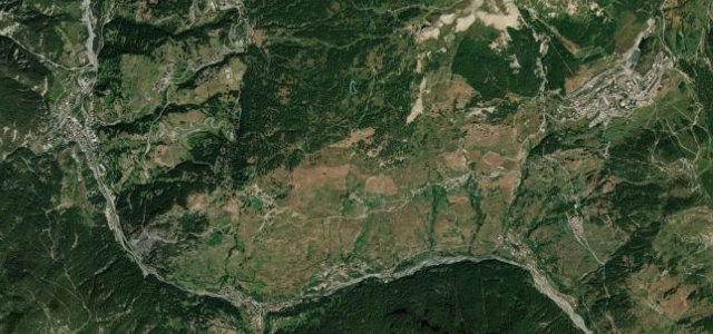
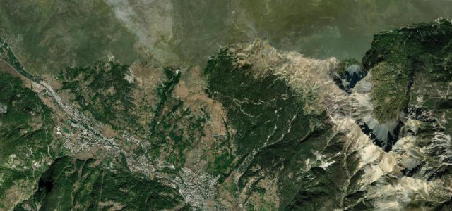
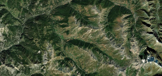
The D205t climbs from the Queyras valley past Molines-en-Queyras and Saint-Véran to the Col Agnel at 2,744 m, one of the highest paved road passes in the Alps. The col sits on the French-Italian border west of Monte Viso and continues into Italy as the SP251 toward Pontechianale. It is a long high-altitude climb, narrow in its upper reaches, and is closed by snow for much of the year.
Scenery
Best seasons
In these collections
In these guides
Where it runs16.5 mi · point to point
Navigate to the start: Apple Maps · Google Maps
Character
Corners
busiest around mile 16Elevation
under 4%4–8%over 8%1,358.3 – 2,742 mFrom the road
Points of interest2 stops
- Col Agnel / Colle dell’AgnelloViewpoint17 mi in
- Gîte d'Étape Les AstragalesFood and drink4.1 mi in
Hazards
- Very high altitude with thin air and rapid weather changes
- Narrow upper sections with steep ramps
- Long seasonal snow closure
Sources
“This road has a truly breathtaking scenery on both sides, with seemingly endless fields that create – together with naked rocks and winding strips of asphalt – an amazing and unique scenario for those who climb here, no matters if by car, motorbike or bike.”
Verified route: mapped from real road geometry and fact-checked by a human editor. How roads get checked
Driving the Col Agnel: quick answers
How long does it take to drive the Col Agnel?
How difficult is the Col Agnel to drive?
When is the best time to drive the Col Agnel?
Nearby roads
The closest great drives to Col Agnel.