Provence-Alpes-Côte d'Azur · France
Col d'Izoard
D902Briançon to Château-Ville-Vieille
A legendary Tour de France climb through the Casse Déserte.
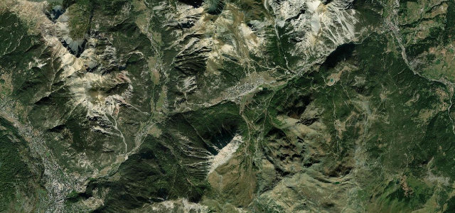
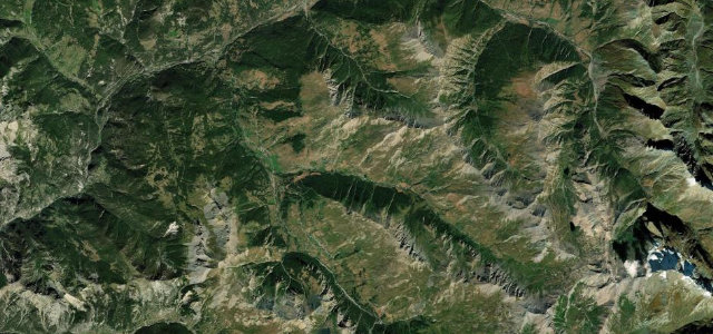
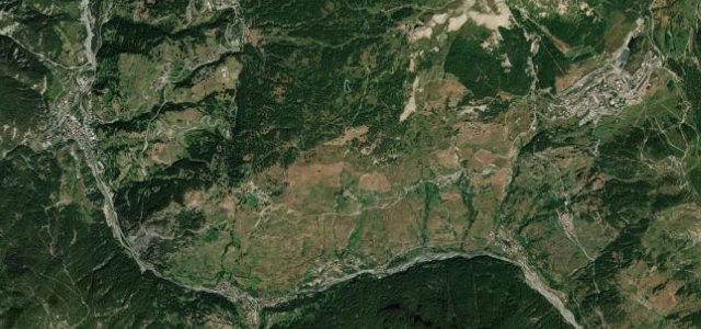
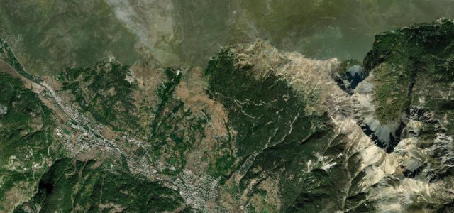
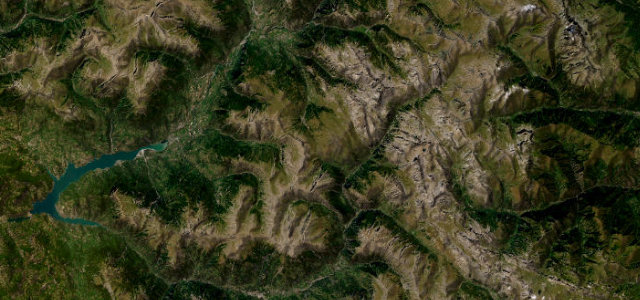
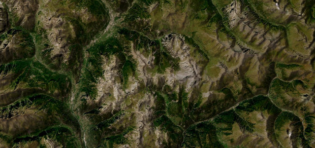
The D902 over the Col d’Izoard at 2,360 m links Briançon and the Queyras, climbing through the eerie rock spires of the Casse Déserte. A storied Tour de France road; sweeping and spectacular, with cyclists, tight upper hairpins, and winter closure.
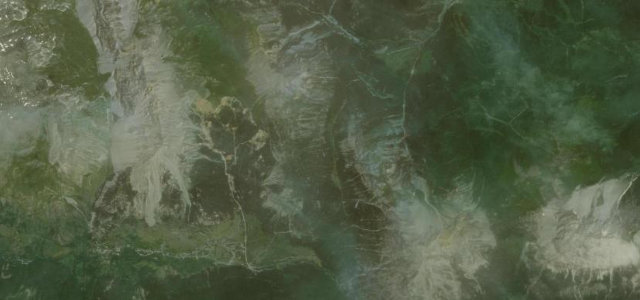
Green alpine meadows give way to the lunar shock of the Casse Deserte, pale spires looming over the road. The hairpins come in their own patient rhythm.
Why we picked it
Scenery
Best seasons
In these collections
In these Grand Tours
In these guides
Where it runs24.1 mi · point to point
Navigate to the start: Apple Maps · Google Maps
Character
More hairpins than 9 in 10 roads in the catalogue.
Corners
busiest around mile 10Elevation
under 4%4–8%over 8%1,215.3 – 2,360.6 mFrom the road
Points of interest3 stops
- Col de la PlatrièreViewpoint14 mi in
- Col d’IzoardViewpoint12 mi in
- Monument Louison Bobet/Fausto CoppiLandmark13 mi in
Hazards
- Cyclists in numbers
- Tight upper hairpins
- Closed in winter
Is Col d'Izoard open? Typical season and live summit weather ›
Sources
“From the green wooded mountainsides above Briancon to the eroded cliffs above the Casse Deserte, the scenery is amazing.”
Verified route: mapped from real road geometry and fact-checked by a human editor. How roads get checked
Driving the Col d'Izoard: quick answers
How long does it take to drive the Col d'Izoard?
How difficult is the Col d'Izoard to drive?
When is the best time to drive the Col d'Izoard?
Nearby roads
The closest great drives to Col d'Izoard.