Provence-Alpes-Côte d'Azur · France
Col du Granon
D234TSaint-Chaffrey to Col du Granon
One of France’s highest paved cols, a steep dead-end above Briançon.
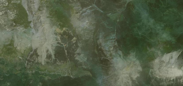
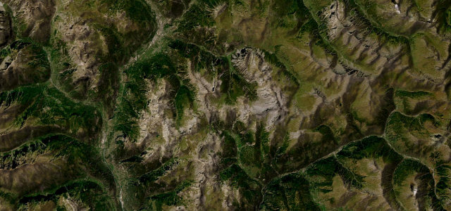
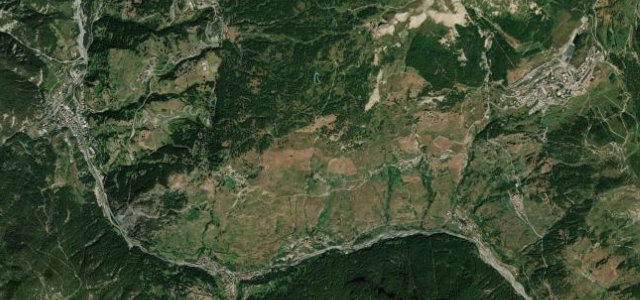
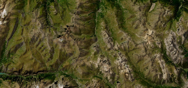
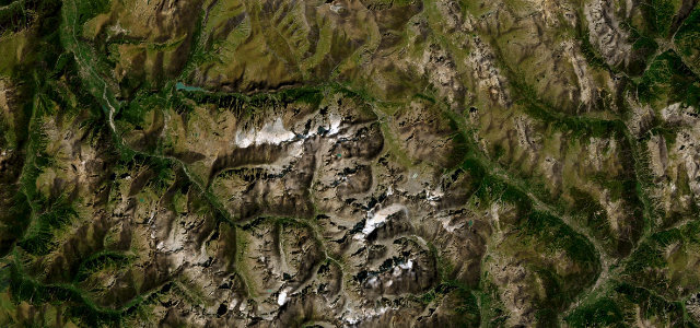
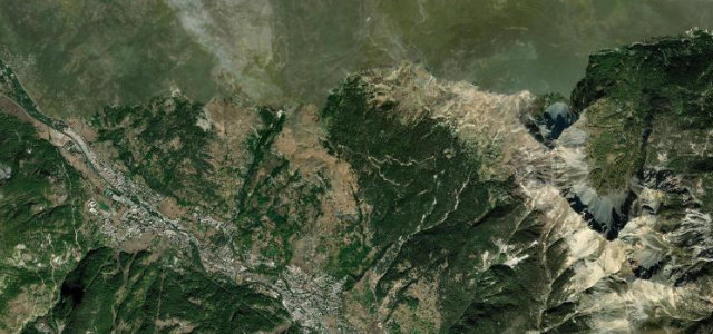
The narrow D234t climbs the south side of the Col du Granon to 2,413 m above Saint-Chaffrey near Briançon, making it one of the highest paved roads in France. It is a relentless dead-end climb, gaining over a kilometre of height in about 11 km at gradients around 9-10%, and it hosted Tour de France summit finishes in 1986 and 2022. The tarmac ends at the pass, the road is narrow with few barriers, and it is closed by snow outside summer.
Scenery
Best seasons
In these collections
In these guides
Where it runs6.4 mi · point to point
Navigate to the start: Apple Maps · Google Maps
Character
Corners
busiest around mile 4Elevation
under 4%4–8%over 8%1,428.3 – 2,407.3 mFrom the road
Points of interest2 stops
- Col de GranonViewpoint6.4 mi in
- Le Grand MeyretViewpoint6.4 mi in
Hazards
- Sustained steep gradients around 9-10%
- Narrow road with limited barriers and passing space
- Dead-end summit and seasonal snow closure
Is Col du Granon open? Typical season and live summit weather ›
Sources
“The narrow road to the summit is totally paved, but winding, curvy, and steep.”
Verified route: mapped from real road geometry and fact-checked by a human editor. How roads get checked
Driving the Col du Granon: quick answers
How long does it take to drive the Col du Granon?
How difficult is the Col du Granon to drive?
When is the best time to drive the Col du Granon?
Nearby roads
The closest great drives to Col du Granon.