Auvergne-Rhône-Alpes · France
Col du Lautaret
D1091Le Bourg-d’Oisans to Briançon
A broad, high pass linking the Oisans to Briançon, gateway to the Galibier.
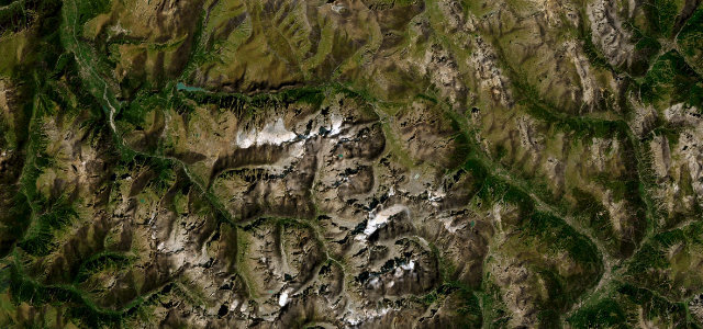
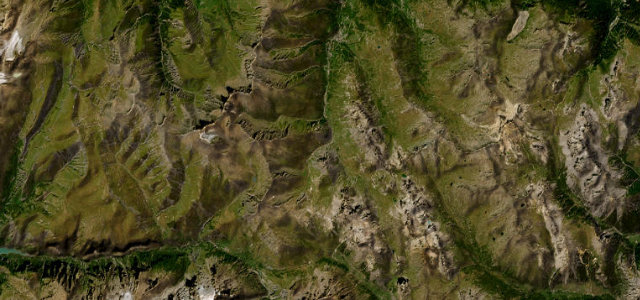
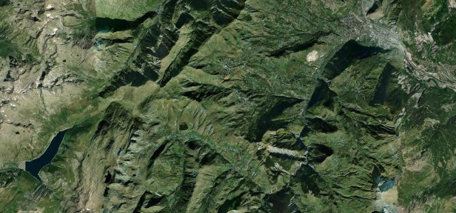
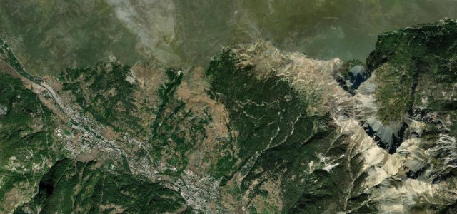
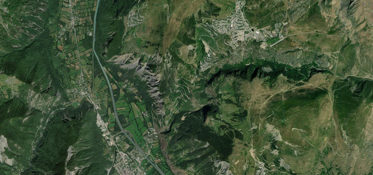
The D1091 crosses the Col du Lautaret between Le Bourg-d’Oisans and Briançon, a wide, fast pass beneath the glaciers of La Meije and the junction for the Galibier climb. Mind the heavy summer traffic, the weather at altitude, and snow outside the warmer months.
Where it runs40.9 mi · point to point
Le Bourg-d’OisansStart · Auvergne-Rhône-Alpes
BriançonEnd · Auvergne-Rhône-Alpes
Navigate to the start: Apple Maps · Google Maps
Character
Corners30bends
Tightness4of 10
Max gradient7%≈ 1-in-14
Hairpins6tight bends
Climb1,704 mtotal ascent
Summit2,058.6 mhighest point of the line · 6,754 ft
Corners
busiest around mile 19Elevation
under 4%4–8%over 8%722.5 – 2,058.6 mFrom the road
Points of interest3 stops
- Sommet du Santin – Serre OrelViewpoint24 mi in
- Col du LautaretViewpoint24 mi in
- Monument des FusillésLandmark17 mi in
Hazards
- Weather at altitude
- Heavy summer traffic
- Snow outside the warmer months
Sources
“Col du Lautaret is a legendary pass in the French Alps and has been featured many times in Tour de France race.”
Verified route: mapped from real road geometry and fact-checked by a human editor. How roads get checked
Driving the Col du Lautaret: quick answers
How long does it take to drive the Col du Lautaret?
Col du Lautaret runs 40.9 miles (66 km) and takes about 1 h 18 min to drive without stops.
How difficult is the Col du Lautaret to drive?
We rate it moderate: 30 corners including 6 hairpins, a maximum gradient of 7%, and a tightness of 4 out of 10.
When is the best time to drive the Col du Lautaret?
Spring and Summer and Autumn are best.
Nearby roads
The closest great drives to Col du Lautaret.
Col du Lautaret
DirectionsGet the app