Auvergne-Rhône-Alpes · France
Col du Télégraphe
D902Saint-Michel-de-Maurienne to Valloire
Wooded Maurienne climb to the Galibier’s gateway fort.
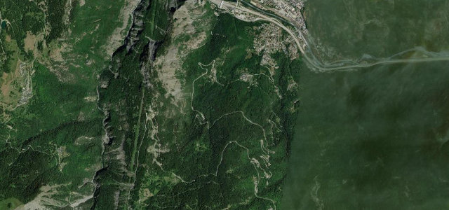
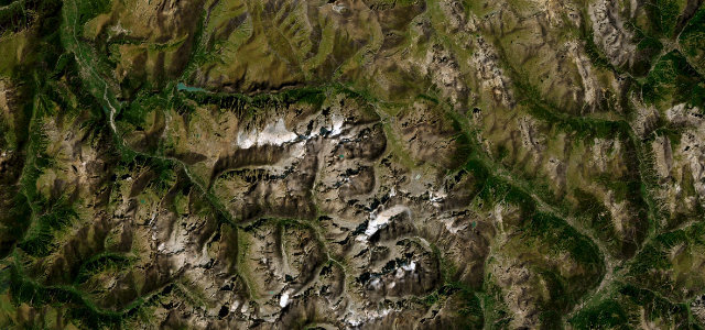
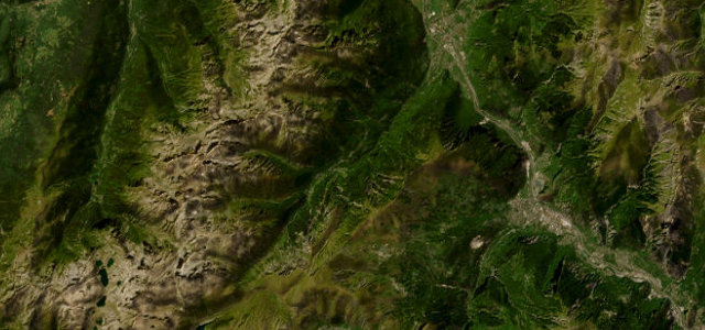
The D902 climbs from Saint-Michel-de-Maurienne to a 1566 m saddle named for the semaphore telegraph station that once stood here, gaining about 850 m over forested hairpins. It is the lower half of the classic approach that continues to the Col du Galibier, and the surface stays in good condition. Mind the heavy summer cycling and motorbike traffic on the narrow wooded bends.
Scenery
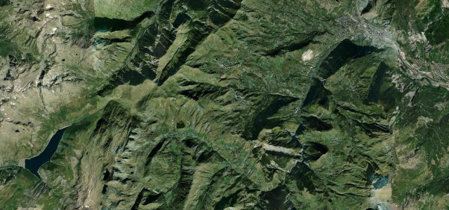
MountainForestValley
Best seasons
SpringSummerAutumn
In these collections
In these Grand Tours
Where it runs7.4 mi · point to point
Saint-Michel-de-MaurienneStart · Auvergne-Rhône-Alpes
ValloireEnd · Auvergne-Rhône-Alpes
Navigate to the start: Apple Maps · Google Maps
Character
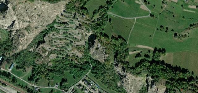
Corners14bends
Tightness6of 10
Max gradient10%≈ 1-in-10
Hairpins10tight bends
Climb841 mtotal ascent
Summit1,561.6 mhighest point of the line · 5,123 ft
Corners
busiest around mile 3Elevation
under 4%4–8%over 8%720.9 – 1,561.6 mFrom the road
Points of interest3 stops
- Col du TélégrapheViewpoint7.4 mi in
- Moulin TroccazLandmark5.1 mi in
- Général Gustave-Auguste FerriéLandmarkat the start
Hazards
- Summer cyclists in numbers
- Narrow wooded hairpins
- Motorbike traffic
Sources
“The winding paved road to the summit is very curvy, with 14 hairpin turns.”
Verified route: mapped from real road geometry and fact-checked by a human editor. How roads get checked
Driving the Col du Télégraphe: quick answers
How long does it take to drive the Col du Télégraphe?
Col du Télégraphe runs 7.4 miles (11.9 km) and takes about 16 min to drive without stops.
How difficult is the Col du Télégraphe to drive?
We rate it moderate: 14 corners including 10 hairpins, a maximum gradient of 10%, and a tightness of 6 out of 10.
When is the best time to drive the Col du Télégraphe?
Spring and Summer and Autumn are best.
Nearby roads
The closest great drives to Col du Télégraphe.
Col du Télégraphe
DirectionsGet the app