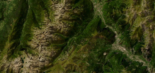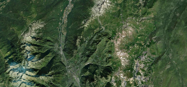
Savoie · France
Lacets de Montvernier
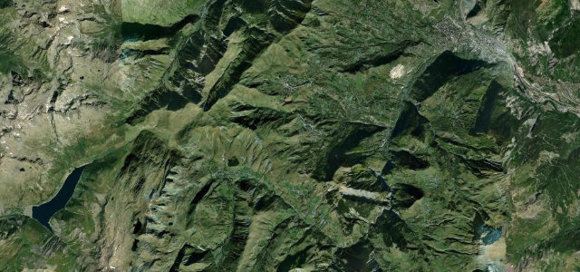
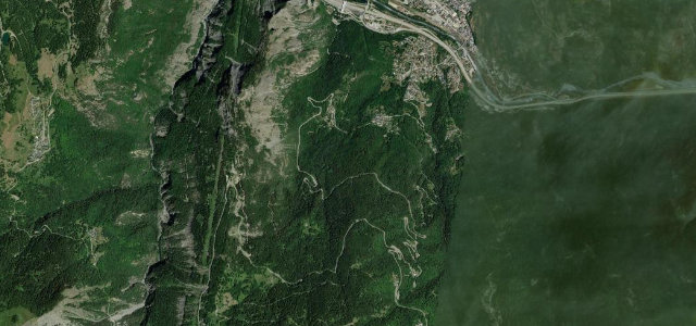
D77BPontamafrey to Montvernier
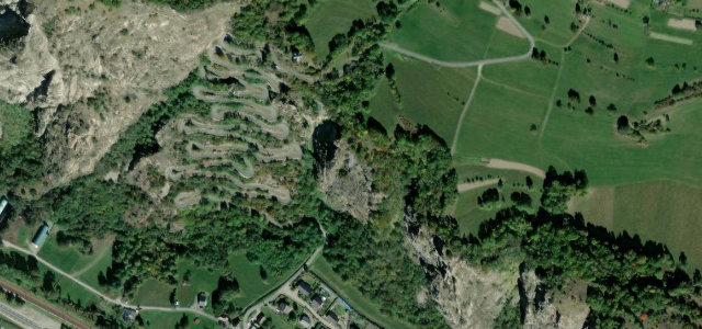
Seventeen hairpins stacked up a cliff face in barely two kilometres, one of the most photographed pieces of road in the Alps.
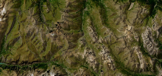
From the valley floor near Pontamafrey, the little D77B throws itself at a near-vertical wall above the Arc, switching back on itself 17 times in roughly 3.4 kilometres to reach the perched village of Montvernier. The lacets were carved into the rock in the 1930s to link the plateau hamlet to the world below, and the stacked ribbon of tarmac looks almost unreal from the bends above. It became globally famous through the helicopter footage of the 2015 Tour de France, and on a quiet morning it is a hypnotic, low-speed driving puzzle rather than a fast road. It is short, so most people pair it with the longer Col du Chaussy that continues above. The surface is good but the road is narrow with little room to pass. Mind oncoming traffic on the blind hairpins, cyclists who flock here in summer, and the sheer drops with only token barriers.
Where it runs1.7 mi · point to point
Navigate to the start: Apple Maps · Google Maps
Character
Corners
busiest around mile 1Elevation
under 4%4–8%over 8%509 – 754.4 mFrom the road
Points of interest2 stops
- Belvedere du Rocher aux ChamoisCliff balcony looking straight down onto the stacked hairpins, reached by a short trailat the start
- O P’tits LacetsRestaurant in Montvernier village at the top of the climb, a natural stop after the bends1.7 mi in
Hazards
- Blind narrow hairpins with little passing room
- Heavy cyclist traffic in summer
- Sheer drops with minimal barriers
Sources
“a road absolutely has to be on the list of any road connoisseur”
Verified route: mapped from real road geometry and fact-checked by a human editor. How roads get checked
Driving the Lacets de Montvernier: quick answers
How long does it take to drive the Lacets de Montvernier?
How difficult is the Lacets de Montvernier to drive?
When is the best time to drive the Lacets de Montvernier?
Nearby roads
The closest great drives to Lacets de Montvernier.