Auvergne-Rhône-Alpes · France
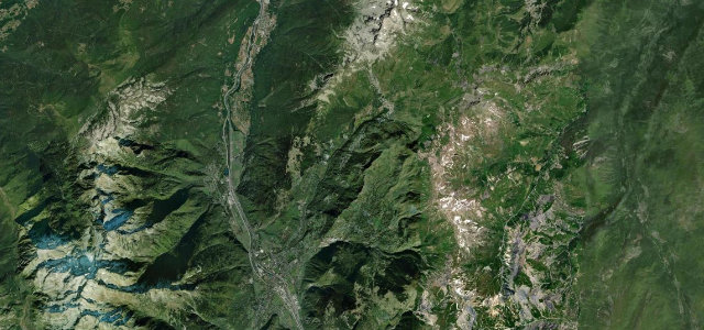
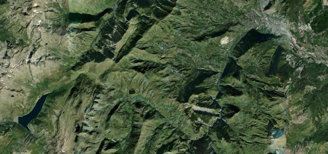
Col de la Madeleine
D213La Chambre to La Léchère
A long, relentless Tarentaise–Maurienne climb.
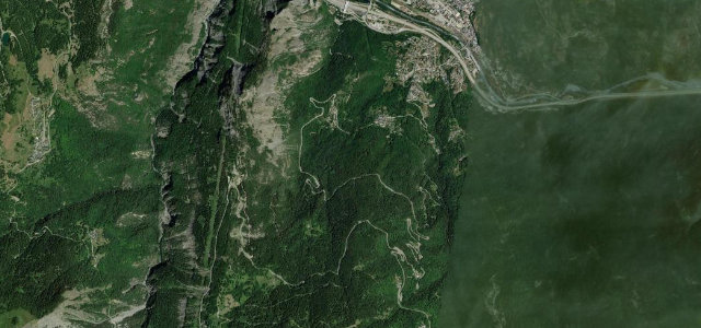
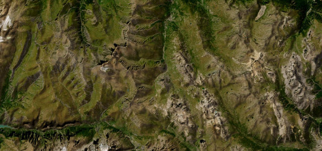
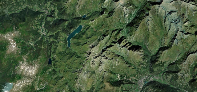
The D213 to the Col de la Madeleine at 1,993 m links the Maurienne and Tarentaise valleys, a long and relentless climb through forest and high pasture that’s one of the Tour de France’s hardest regular tests. Steady and exposed up top; expect cyclists, livestock, and snow outside summer.
Scenery
MountainForest
Best seasons
SummerAutumn
In these collections
In these guides
Where it runs16.0 mi · point to point
La ChambreStart · Auvergne-Rhône-Alpes
La LéchèreEnd · Auvergne-Rhône-Alpes
Navigate to the start: Apple Maps · Google Maps
Character
Corners44bends
Tightness6of 10
Max gradient10%≈ 1-in-10
Hairpins30tight bends
Climb1,551 mtotal ascent
Summit1,993.8 mhighest point of the line · 6,541 ft
More hairpins than 9 in 10 roads in the catalogue.
Corners
busiest around mile 7Elevation
under 4%4–8%over 8%443 – 1,993.8 mFrom the road
Points of interest2 stops
- Col de la MadeleineViewpoint14 mi in
- Cabane des FéesLandmark9.5 mi in
Hazards
- Long, exposed climb
- Cyclists in numbers
- Snow outside summer
Sources
“beautiful, but heartbreaking”
Verified route: mapped from real road geometry and fact-checked by a human editor. How roads get checked
Driving the Col de la Madeleine: quick answers
How long does it take to drive the Col de la Madeleine?
Col de la Madeleine runs 16.0 miles (26 km) and takes about 34 min to drive without stops.
How difficult is the Col de la Madeleine to drive?
We rate it demanding: 44 corners including 30 hairpins, a maximum gradient of 10%, and a tightness of 6 out of 10.
When is the best time to drive the Col de la Madeleine?
Summer and Autumn are best.
Nearby roads
The closest great drives to Col de la Madeleine.
Col de la Madeleine
DirectionsGet the app