Savoie · France
Col du Petit Saint-Bernard
D1090Bourg-Saint-Maurice to Col du Petit Saint-Bernard
An ancient, history-soaked pass between Savoie and the Aosta Valley, climbing past La Rosiere to a broad 2188 metre saddle.
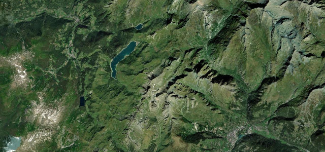
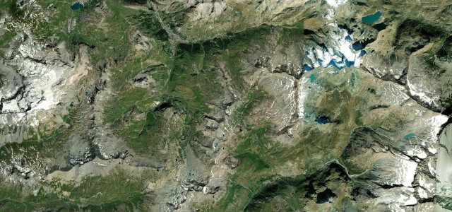
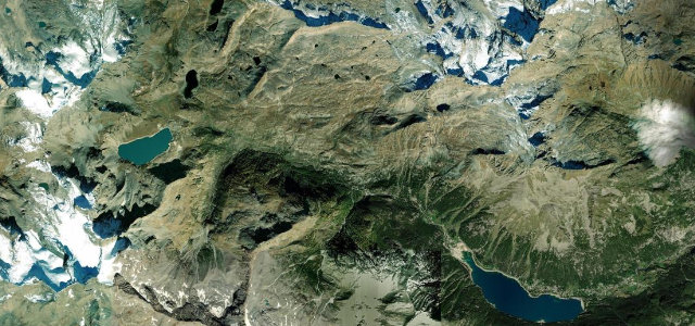
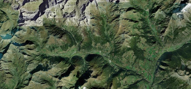
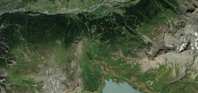
The D1090 leaves Bourg-Saint-Maurice and works up the valley flank through La Rosiere before topping out at the 2188 metre Little St Bernard pass on the Italian frontier, where the road continues as the SS26 toward La Thuile. This is one of the oldest crossings in the Alps, used by armies from Hannibal’s era onward, and the long open ascent gives sweeping panoramas back over Bourg-Saint-Maurice and across to Mont Blanc. The gradients are forgiving by alpine standards, averaging around five percent, so it is more a flowing high-mountain cruise than a hairpin test, with the most intense switchbacks waiting on the Italian descent. The pass is generally open May to October. Mind late-lying snow at the top early in the season, frequent cyclists on the steady lower slopes, and exposed weather that turns quickly at altitude.
Where it runs16.6 mi · point to point
Navigate to the start: Apple Maps · Google Maps
Character
Corners
busiest around mile 6Elevation
under 4%4–8%over 8%807.1 – 2,192.2 mFrom the road
Points of interest3 stops
- Col du Petit-Saint-BernardViewpoint17 mi in
- Statue de Saint-BernardLandmark16 mi in
- Monument aux Morts des Tirailleurs AlgériensLandmark1.5 mi in
Hazards
- Late-lying snow near the summit in early season
- Cyclists on the steady climb
- Fast-changing high-altitude weather
Sources
“For those of you who love to spend an hour or so ambling along a gorgeous roadway, there are few better trips than that offered by the Little St. Bernard Pass.”
Verified route: mapped from real road geometry and fact-checked by a human editor. How roads get checked
Driving the Col du Petit Saint-Bernard: quick answers
How long does it take to drive the Col du Petit Saint-Bernard?
How difficult is the Col du Petit Saint-Bernard to drive?
When is the best time to drive the Col du Petit Saint-Bernard?
Nearby roads
The closest great drives to Col du Petit Saint-Bernard.