Auvergne-Rhône-Alpes · France
Col des Aravis
D909La Clusaz to Saint-Nicolas-la-Chapelle
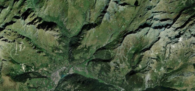
Hairpins up to a small chapel at 1,487 m where the view opens east to Mont Blanc, on a pass the Tour de France has climbed since 1911.
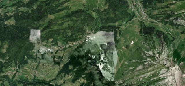
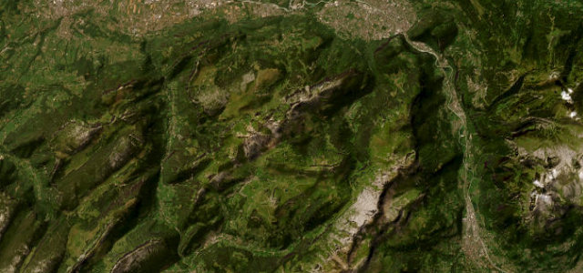
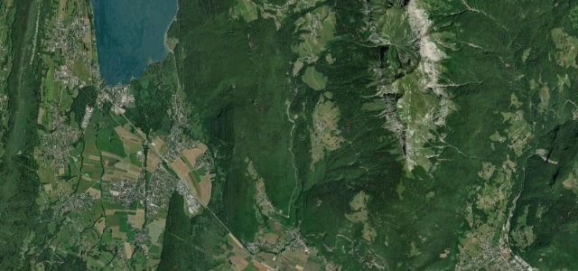
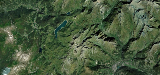
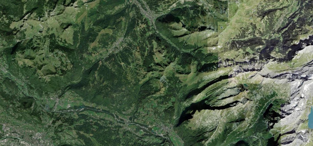
The D909 crosses the Col des Aravis at 1,487 m, linking La Clusaz in Haute-Savoie with La Giettaz and Flumet in Savoie. The summit is known for its open view east to the Mont Blanc massif and a small chapel, and the climb has featured in the Tour de France many times since 1911. The road is fully paved with hairpins near the top, busy in summer, and snow-closed in winter.
Scenery
Best seasons
In these collections
In these Grand Tours
Where it runs12.6 mi · point to point
Navigate to the start: Apple Maps · Google Maps
Character
Corners
busiest around mile 5Elevation
under 4%4–8%over 8%869.6 – 1,482.3 mFrom the road
Points of interest2 stops
- Col des AravisViewpoint4.6 mi in
- Dard waterfallLandmark8.8 mi in
Hazards
- Heavy tourist and cyclist traffic in summer
- Hairpin bends near the summit
- Winter closure and snow/ice
Is Col des Aravis open? Typical season and live summit weather ›
Sources
“A few mountain passes in the Alps offer a breathtaking panorama and Col des Aravis in the province of Savoie is one of them.”
Verified route: mapped from real road geometry and fact-checked by a human editor. How roads get checked
Driving the Col des Aravis: quick answers
How long does it take to drive the Col des Aravis?
How difficult is the Col des Aravis to drive?
When is the best time to drive the Col des Aravis?
Nearby roads
The closest great drives to Col des Aravis.