Auvergne-Rhône-Alpes · France
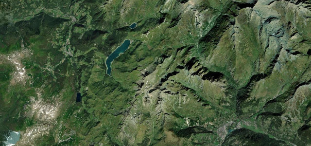
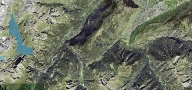
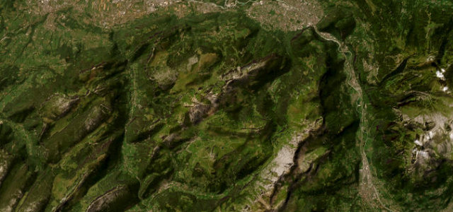
Col de la Colombière
D4Le Grand-Bornand to Scionzier
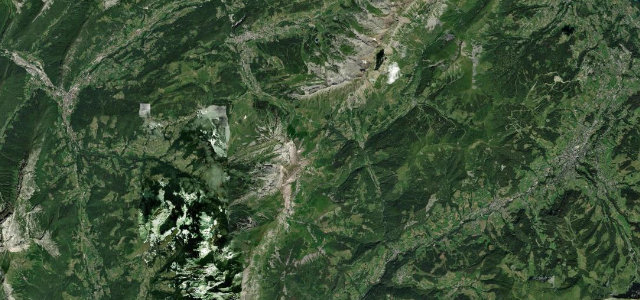
In the Tour de France since 1960 and it drives like it: a gentle, open approach from Le Grand-Bornand, then steep final kilometres to the 1,613 m col. The north side falls away narrower and sharper toward Scionzier, and it’s our pick of the two.
Col de la Colombière rises to 1613 m in the Haute-Savoie Alps, connecting Le Grand-Bornand in the south with Le Reposoir and Scionzier in the north. The D4 is a Tour de France regular first climbed in 1960, with a gentle open southern side and a steeper, narrower northern ascent. Mind the steep final kilometres, frequent cyclists and a winter closure.
Scenery
Best seasons
In these collections
In these Grand Tours
Where it runs17.6 mi · point to point
Navigate to the start: Apple Maps · Google Maps
Character
Corners
busiest around mile 2Elevation
under 4%4–8%over 8%494.4 – 1,612.5 mFrom the road
Points of interest2 stops
- Cascade mystérieuseViewpoint3.3 mi in
- Col de la ColombièreViewpoint7.3 mi in
Hazards
- Steep northern ramps
- Winter closure
- Heavy cyclist traffic
Is Col de la Colombière open? Typical season and live summit weather ›
Sources
“A fast mountain pass with beautiful views and great curves. This is a must when you are in the alps.”
Verified route: mapped from real road geometry and fact-checked by a human editor. How roads get checked
Driving the Col de la Colombière: quick answers
How long does it take to drive the Col de la Colombière?
How difficult is the Col de la Colombière to drive?
When is the best time to drive the Col de la Colombière?
Nearby roads
The closest great drives to Col de la Colombière.