Valais · Switzerland
Col de la Forclaz
203Martigny to Trient
The Martigny to Trient pass on the Mont Blanc axis toward Chamonix, a Tour de France climb.
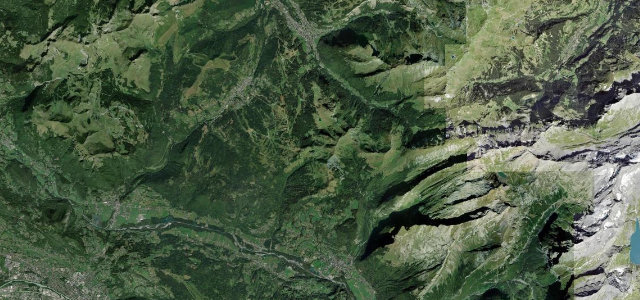
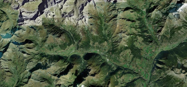
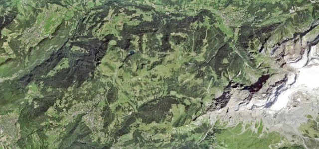
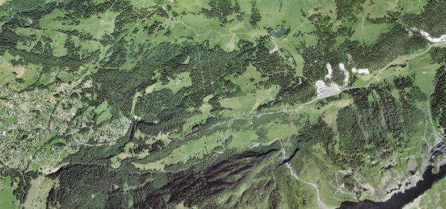
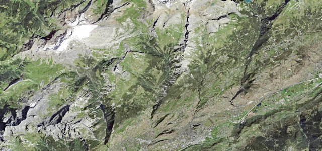
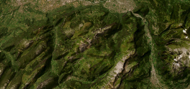
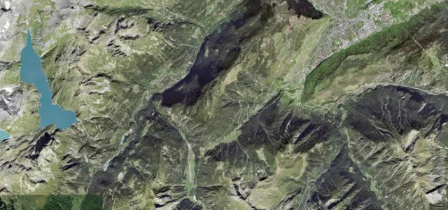
The Col de la Forclaz lifts the road from Martigny in the Rhone valley over a 1527 m col into the Trient valley, the main Swiss link toward Chamonix and Mont Blanc. It is a steady, well-surfaced climb through vineyards and forest, averaging around 8 percent with steeper pitches, and gained wider fame as a 2016 Tour de France climb. It usually stays open in winter but can need chains. Mind the winter ice and the linked Col des Montets closures, the tour-bus and cyclist traffic in season, and the steeper hairpins near the top.
Where it runs11.3 mi · point to point
Navigate to the start: Apple Maps · Google Maps
Character
Corners
busiest around mile 4Elevation
under 4%4–8%over 8%652.3 – 1,539 mFrom the road
Points of interest3 stops
- Col de la ForclazViewpoint6.8 mi in
- Roue de moulinLandmark8.0 mi in
- Grotte aux NymphesLandmark10 mi in
Hazards
- Winter ice and closures
- Tour-bus and cyclist traffic
- Steeper upper hairpins
See the typical season and live conditions for the high passes ›
Sources
“This brief yet highly steep drive rewards travelers with breathtaking vistas”
Verified route: mapped from real road geometry and fact-checked by a human editor. How roads get checked
Driving the Col de la Forclaz: quick answers
How long does it take to drive the Col de la Forclaz?
How difficult is the Col de la Forclaz to drive?
When is the best time to drive the Col de la Forclaz?
Nearby roads
The closest great drives to Col de la Forclaz.