Vaud · Switzerland
Col du Pillon
142Les Diablerets to Gsteig
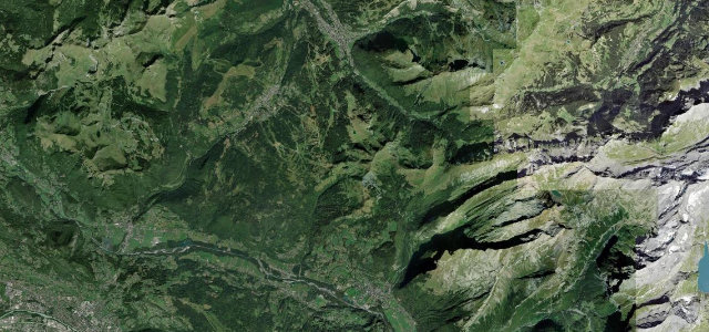
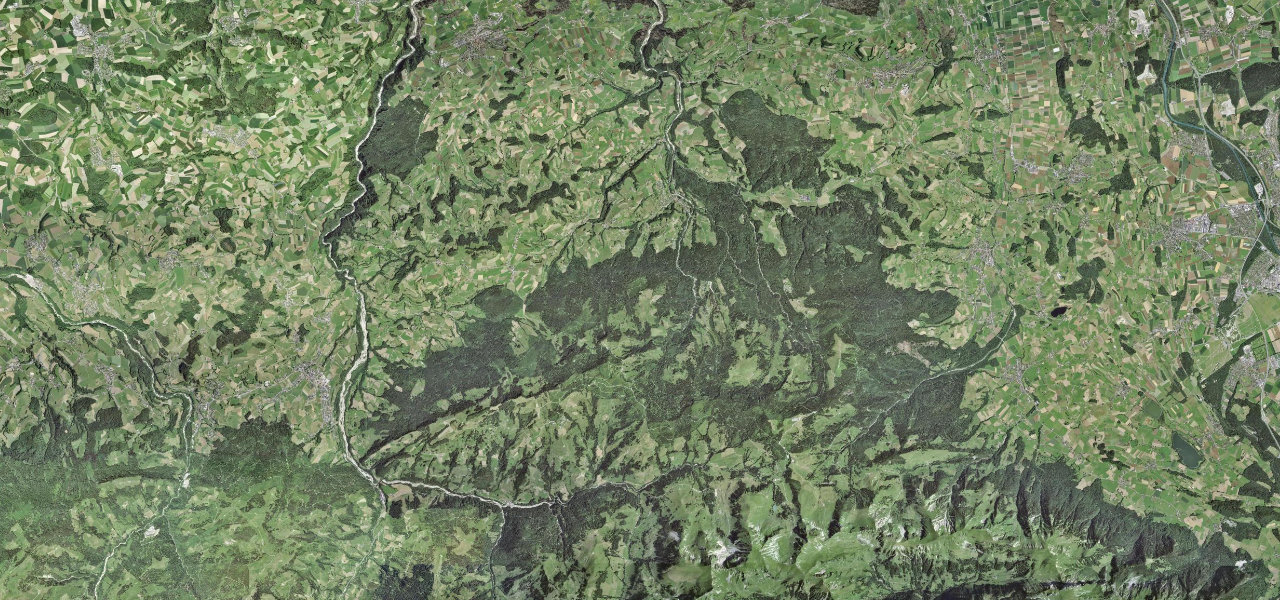
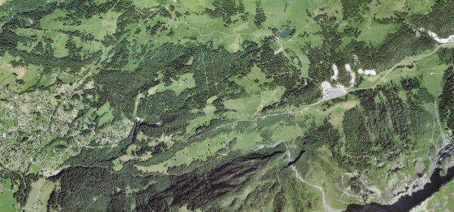
A 1,546 m saddle between Les Diablerets and Gstaad, rolling past the Glacier 3000 cable car base with grades up to about 11 percent and only a handful of hairpins. When the big passes shut for winter, this one just carries on.
The Route du Pillon crosses a 1546 m saddle linking Les Diablerets in Vaud with Gstaad in Bern, passing the Glacier 3000 cable car base. It is a well-surfaced, fairly rolling road open all year with grades up to about 11 percent and only a handful of hairpins. Mind the winter ice and ski-season traffic around the cable car.
Where it runs2.7 mi · point to point
Navigate to the start: Apple Maps · Google Maps
Character
Corners
busiest around mile 1Elevation
under 4%4–8%over 8%1,250.5 – 1,562.7 mFrom the road
Points of interest1 stop
- Col du PillonViewpoint2.1 mi in
Hazards
- Winter ice and snow
- Ski-season cable car traffic
- Wildlife on forest sections
Sources
“The spectacular views of the mountains and rolling hills make the Col du Pillon & de la Croix Panoramic Road well worth the effort.”
Verified route: mapped from real road geometry and fact-checked by a human editor. How roads get checked
Driving the Col du Pillon: quick answers
How long does it take to drive the Col du Pillon?
How difficult is the Col du Pillon to drive?
When is the best time to drive the Col du Pillon?
Nearby roads
The closest great drives to Col du Pillon.