Bern · Switzerland
Jaunpass
505Reidenbach to Jaun
A road from 1878 that still earns its keep: eleven hairpins and grades around 10.5 percent over the 1,509 m saddle between the Simmental and Gruyere. Old-school Swiss pass driving, all rhythm and no fuss.
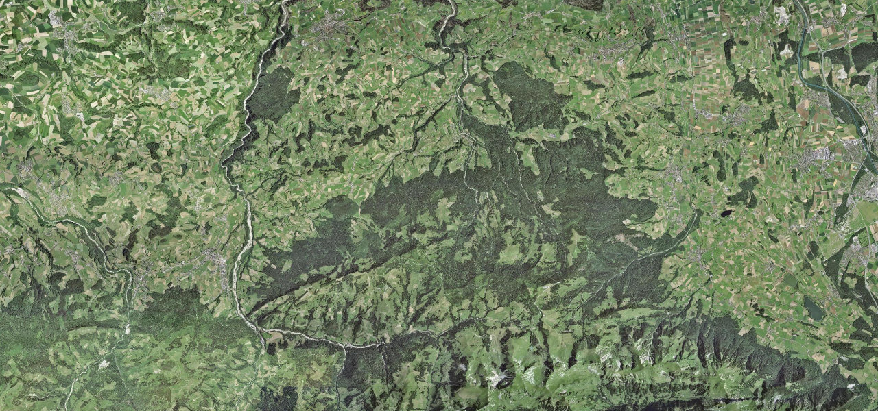
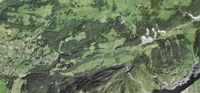
The Jaunpass climbs to a 1509 m saddle joining Boltigen in the Bernese Simmental with Jaun in Fribourg’s Gruyère region, on a road dating to 1878. It carries eleven hairpins, a short tunnel and a few narrow parts, with grades around 10.5 percent. Mind the narrow tunnel and the mix of cyclists and motorbikes in summer.
Where it runs10.5 mi · point to point
Navigate to the start: Apple Maps · Google Maps
Character
Corners
busiest around mile 4Elevation
under 4%4–8%over 8%824.6 – 1,516.1 mFrom the road
Points of interest3 stops
- SchüpfenViewpoint5.5 mi in
- JaunpassViewpoint6.2 mi in
- Cascade de JaunLandmark10 mi in
Hazards
- Narrow tunnel
- Summer cyclist and motorbike traffic
- A few narrow sections
Sources
“The drive is not easy, with 11 hairpin turns, tunnels and a few narrow parts.”
Verified route: mapped from real road geometry and fact-checked by a human editor. How roads get checked
Driving the Jaunpass: quick answers
How long does it take to drive the Jaunpass?
How difficult is the Jaunpass to drive?
When is the best time to drive the Jaunpass?
Nearby roads
The closest great drives to Jaunpass.