Vaud · Switzerland
Col de la Croix
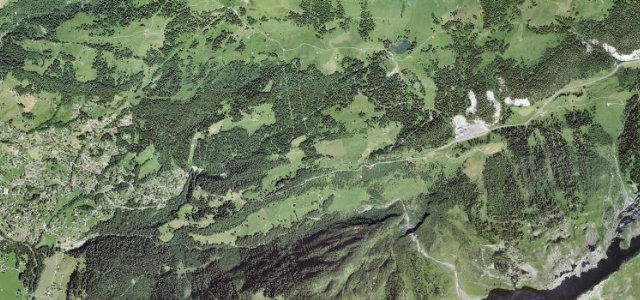
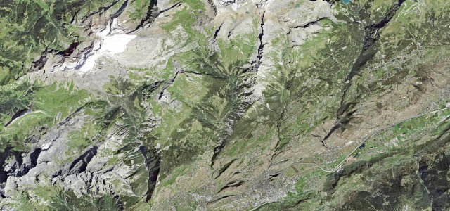
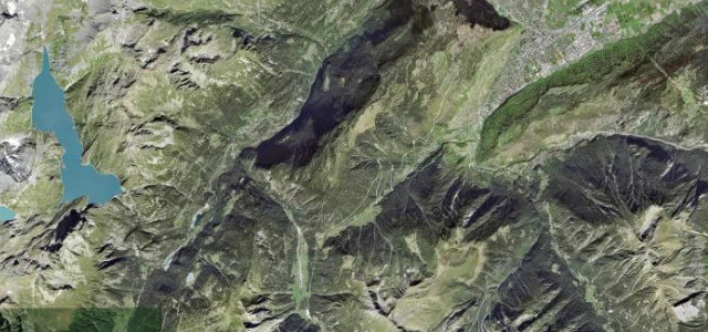
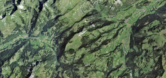
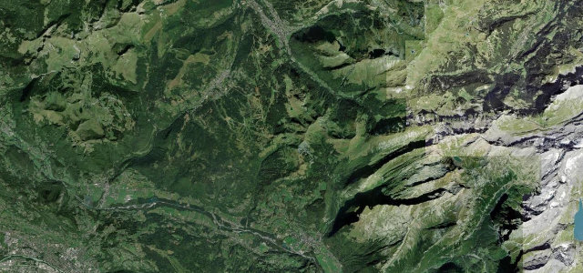
Villars-sur-Ollon to Les Diablerets
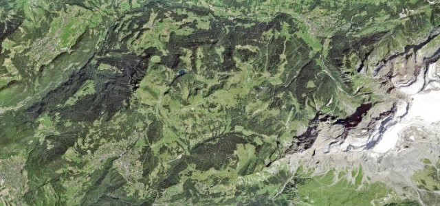
The giant of the Alpes Vaudoises, a long climb linking Villars-sur-Ollon and Les Diablerets over a 1,778 m saddle with views to the Diablerets glacier.
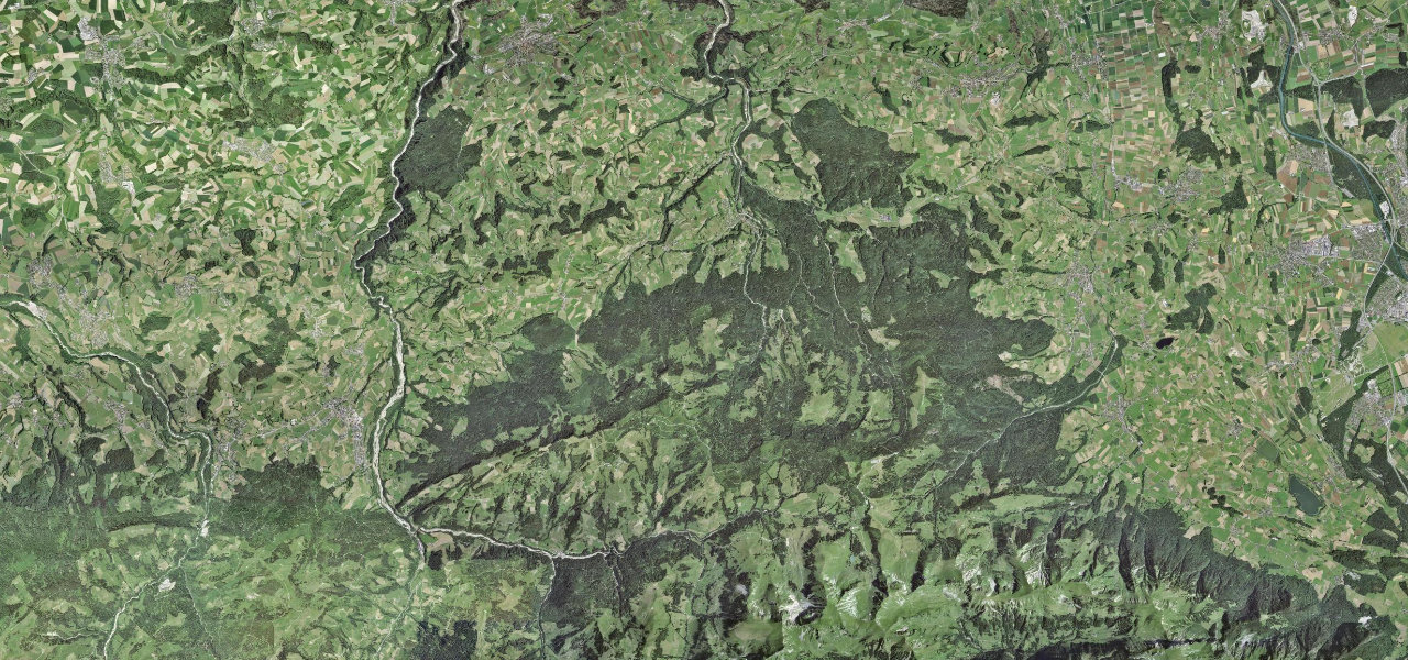
Climbing out of the resort of Villars-sur-Ollon, the Route du Col de la Croix winds through alpine pasture and pine to the 1,778 m col before dropping to Les Diablerets at the foot of its namesake glacier. It is one of the longest sustained climbs in French-speaking Switzerland, with a steady run of hairpins, narrow farm-road sections and big drops toward Les Diablerets. The tarmac is good but the road is single-and-a-bit-lane in places and shared with cyclists, who know it well. Open only in the warmer months. Mind the narrow unguarded stretches above Les Diablerets, frequent cyclists on the climb, and loose grit early and late in the season.
Where it runs10.4 mi · point to point
Navigate to the start: Apple Maps · Google Maps
Character
Corners
busiest around mile 5Elevation
under 4%4–8%over 8%1,156.6 – 1,782.8 mFrom the road
Points of interest1 stop
- Col de la CroixViewpoint5.1 mi in
Hazards
- Narrow unguarded sections above Les Diablerets
- Frequent road cyclists on the climb
- Loose grit and gravel early and late season
Sources
“If you love to drive, you'll love the road to Col de la Croix in Vaud”
Verified route: mapped from real road geometry and fact-checked by a human editor. How roads get checked
Driving the Col de la Croix: quick answers
How long does it take to drive the Col de la Croix?
How difficult is the Col de la Croix to drive?
When is the best time to drive the Col de la Croix?
Nearby roads
The closest great drives to Col de la Croix.