Auvergne-Rhône-Alpes · France
Col de la Croix Fry
D16Manigod to La Clusaz
Tight wooded hairpins up to 1,467 m between Manigod and La Clusaz, on a climb the Tour de France has raced since 1994.
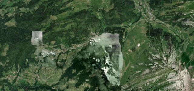
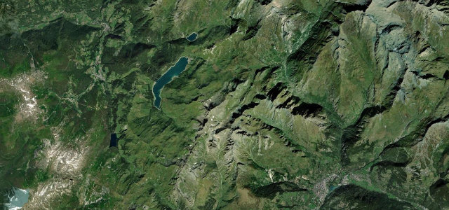
Col de la Croix Fry sits in the Aravis range of Haute-Savoie, linking Manigod with La Clusaz and Saint-Jean-de-Sixt. The D16 winds through forest and open pasture with views toward the Aravis chain, and has featured in the Tour de France since 1994. Mind the tight wooded hairpins and changeable mountain weather.
Where it runs6.8 mi · point to point
ManigodStart · Auvergne-Rhône-Alpes
La ClusazEnd · Auvergne-Rhône-Alpes
Navigate to the start: Apple Maps · Google Maps
Character
Corners28bends
Tightness6of 10
Max gradient9%≈ 1-in-11
Hairpins6tight bends
Climb546 mtotal ascent
Summit1,468.4 mhighest point of the line · 4,818 ft
Corners
busiest around mile 4Elevation
under 4%4–8%over 8%930 – 1,468.4 mFrom the road
Points of interest1 stop
- Col de la Croix FryViewpoint4.3 mi in
Hazards
- Tight wooded hairpins
- Snow and ice in winter; chains may be required
- Cyclists on climb
Sources
“The road that goes down to Manigod is very beautiful, in the middle of fields and chalets.”
Verified route: mapped from real road geometry and fact-checked by a human editor. How roads get checked
Driving the Col de la Croix Fry: quick answers
How long does it take to drive the Col de la Croix Fry?
Col de la Croix Fry runs 6.8 miles (10.9 km) and takes about 14 min to drive without stops.
How difficult is the Col de la Croix Fry to drive?
We rate it moderate: 28 corners including 6 hairpins, a maximum gradient of 9%, and a tightness of 6 out of 10.
When is the best time to drive the Col de la Croix Fry?
Spring and Summer and Autumn are best.
Nearby roads
The closest great drives to Col de la Croix Fry.
Col de la Croix Fry
DirectionsGet the app