Auvergne-Rhône-Alpes · France
Col de la Forclaz de Montmin
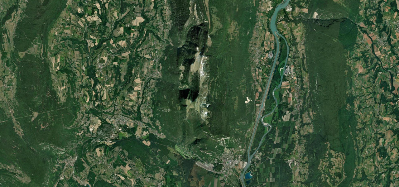
D42Talloires-Montmin to Faverges-Seythenex
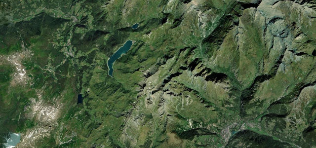
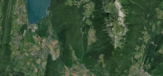
The D42 crests at 1,147 m above Lake Annecy’s eastern shore, a balcony over the water so open that paragliders use the summit as a launch pad.
Col de la Forclaz de Montmin stands at 1147 m on the eastern side of Lake Annecy, linking Montmin with the Faverges valley near Vesonne via the D42. The road is known for its panoramic balcony over the lake and is one of Europe’s best-known paragliding launch sites. Mind the busy summit car park, narrow descents and slow tourist traffic in summer.
Where it runs13.0 mi · point to point
Navigate to the start: Apple Maps · Google Maps
Character
Corners
busiest around mile 8Elevation
under 4%4–8%over 8%443.4 – 1,151.9 mFrom the road
Points of interest2 stops
- Montagne du VillardViewpoint9.9 mi in
- Belvédère du Rochet ChenaletViewpoint8.3 mi in
Hazards
- Busy paragliding viewpoint
- Narrow descents
- Summer tourist traffic
Sources
“The fabulous view from the Col de la Forclaz requires stopping there if only to admire the landscape and take a few photos.”
Verified route: mapped from real road geometry and fact-checked by a human editor. How roads get checked
Driving the Col de la Forclaz de Montmin: quick answers
How long does it take to drive the Col de la Forclaz de Montmin?
How difficult is the Col de la Forclaz de Montmin to drive?
When is the best time to drive the Col de la Forclaz de Montmin?
Nearby roads
The closest great drives to Col de la Forclaz de Montmin.