Bugey, Ain · France
Col du Grand Colombier
D120Culoz to Lochieu
The Jura’s fiercest climb, cliff-cut lacets from Culoz to 1,501 m.
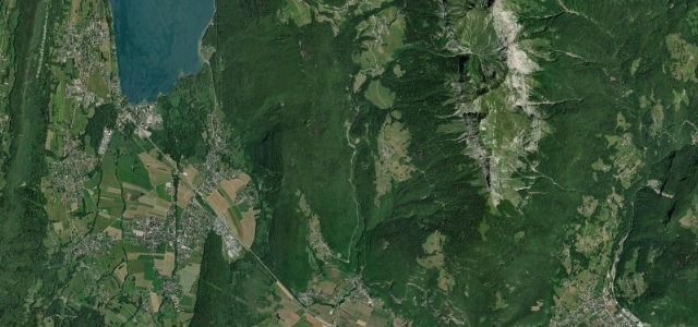
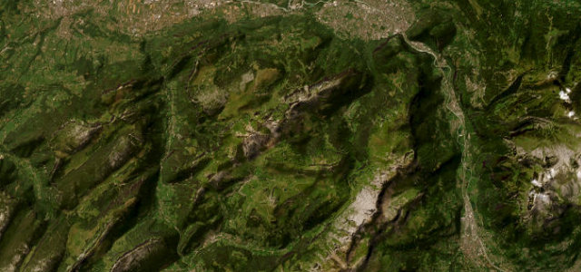
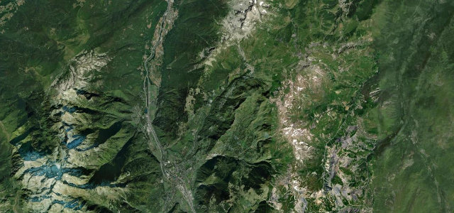
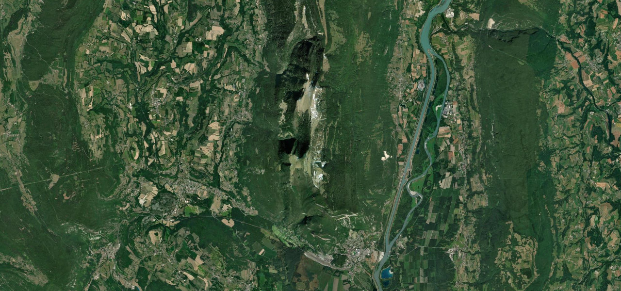
The Grand Colombier is the great wall at the southern end of the Jura, and the D120 from Culoz attacks it head on: lacets cut into the cliff with ramps of 12 to 14 per cent and the Rhône shrinking below. The 1,501 m col arrives suddenly, with Lac du Bourget a thousand metres beneath and Mont Blanc across the horizon on a clear day, a twenty-minute walk to the summit cross earning the full panorama. Down the far side the road eases through high pasture to the quiet Valromey at Lochieu. A Tour de France climb since 2012, so expect cyclists all season; the whole mountain closes from November until late April.
Where it runs18.1 mi · point to point
Navigate to the start: Apple Maps · Google Maps
Character
Elevation
under 4%4–8%over 8%248 – 1,502 mThe strip below the profile is corner density: taller, warmer ticks mean tighter bends.
Points of interest3 stops
- Fenestrez viewpointViewpoint2.0 mi in
- Col du Grand Colombier summitLandmark10 mi in
- Croix du Grand Colombier orientation tableViewpoint10 mi in
Hazards
- Closed in winter, generally November until late April
- Ramps of 12 to 14 per cent on the Culoz hairpins
- Narrow cliff-cut lacets unsuitable for large motorhomes
- Heavy cyclist traffic in season
See the typical season and live conditions for the high passes ›
Verified route: mapped from real road geometry and fact-checked by a human editor. How roads get checked
Driving the Col du Grand Colombier: quick answers
How long does it take to drive the Col du Grand Colombier?
How difficult is the Col du Grand Colombier to drive?
When is the best time to drive the Col du Grand Colombier?
Nearby roads
The closest great drives to Col du Grand Colombier.