Day-trip range
Driving roads near Cologne
4 great driving roads within 100 miles of Cologne, hand-picked and fact-checked. The closest is Eifel (Nürburgring Road), 35 miles out. Distances are straight-line, so drive times will vary.
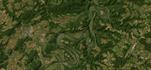
 Vogelsberg–Spessart Road29 mi · 57 min · 60 cornersView the roadbook ›
The roads, closest first
Near other cities
Driving near Cologne: common questions
What is the best driving road near Cologne?
Vogelsberg–Spessart Road, about 95 miles from Cologne as the crow flies. The B276 threads from the Vogelsberg volcano down through lonely woodland into the Spessart, a long forest road whose Laubach-to-Schotten and Schotten-to-Gedern sections are among the best-loved motorcycling stretches in central Germany.
How many great driving roads are within 100 miles of Cologne?
4 of the roads in our catalogue pass within 100 miles of Cologne, every one mapped from real road geometry and fact-checked.
What is the closest great driving road to Cologne?
Eifel (Nürburgring Road), about 35 miles away. Serpentine Eifel B-road that threads right past the Nürburgring