Day-trip range
Driving roads near Zurich
44 great driving roads within 100 miles of Zurich, hand-picked and fact-checked. The closest is Pragel Pass, 30 miles out. Distances are straight-line, so drive times will vary.
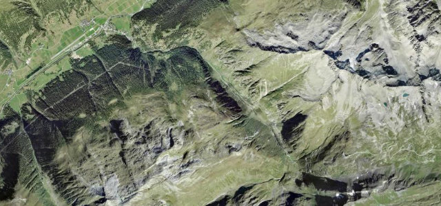
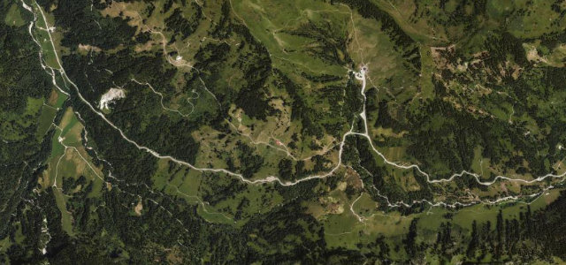
 Brünig Pass7 mi · 12 min · 1,033 m summitView the roadbook ›
The roads, closest first
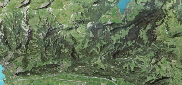
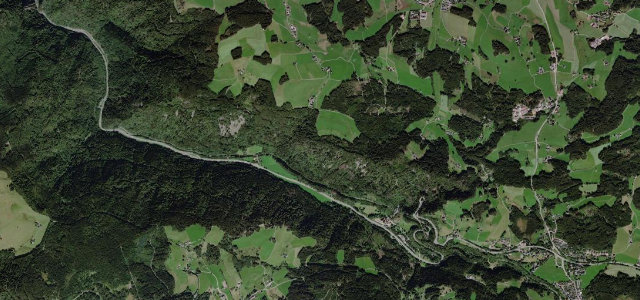
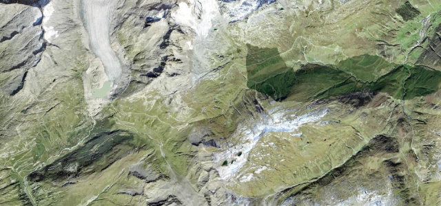
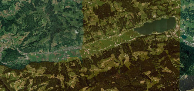
Pragel Pass
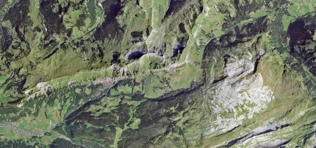
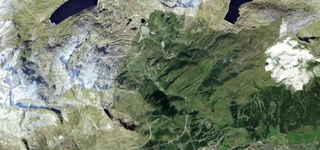
Klausenpass
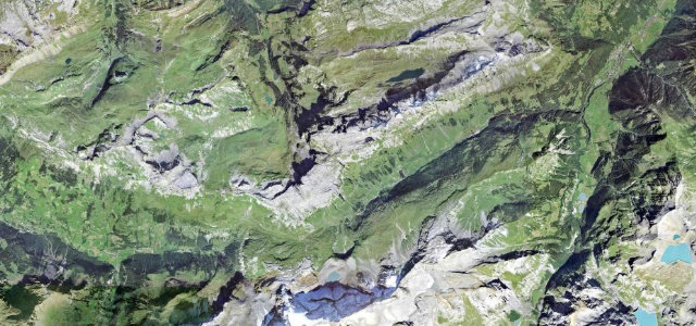
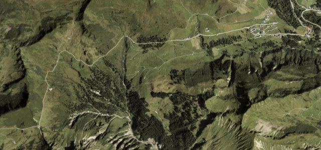
Feldberg Pass
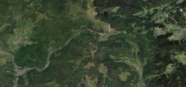
Höllental
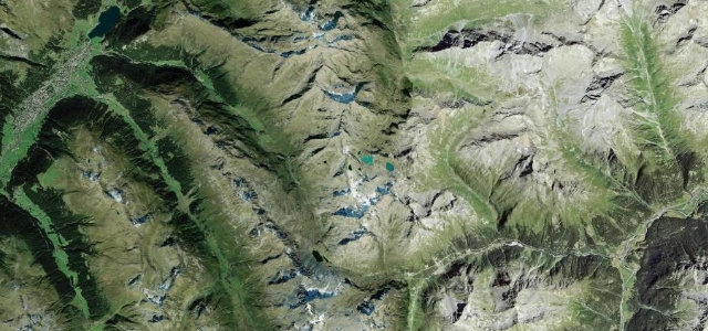
Susten Pass
Schauinslandstraße
Grimsel Pass
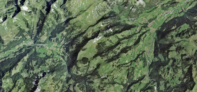
Lukmanier Pass
Oberalp Pass
Kandel Pass Road
Gotthard Pass
Furka Pass
Gotthard Pass (Tremola)
Nufenen Pass
Furkajoch
San Bernardino Pass
Hochtannbergpass
Splügen Pass
Passo dello Spluga
Deutsche Alpenstraße (Allgäu)
Flüela Pass
Riedbergpass
Jaunpass
All 713 roads in the catalogue ›
Near other cities
Driving near Zurich: common questions
What is the best driving road near Zurich?
Brünig Pass, about 45 miles from Zurich as the crow flies. The classic, easy-going crossing between Lake Lucerne country and the Bernese Oberland, linking Brienz and Lungern over a wooded 1,008 m saddle.
How many great driving roads are within 100 miles of Zurich?
44 of the roads in our catalogue pass within 100 miles of Zurich, every one mapped from real road geometry and fact-checked.
What is the closest great driving road to Zurich?
Pragel Pass, about 30 miles away. Steep, narrow link between Muotathal and the Klontal, gradients up to 18 percent.